
 Bike Trail
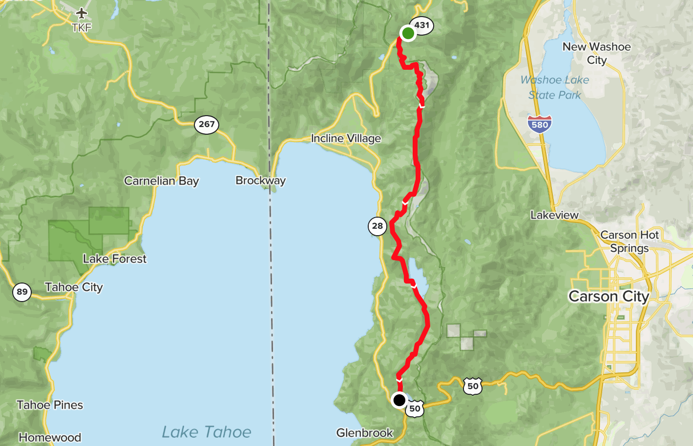
Trail Length
23 miles
Trail Start and End Details
There are many options for riding the Flume Trail, located on the east shore of Lake Tahoe. One option is to do the climb up front, then enjoy the picturesque Flume and a downhill ride on the backend. To follow the suggested route, start at Spooner Lake and climb to Marlette Lake (4-mile long red line on the map found at the link). Then ride through the aspens on the eastern side of Marlette Lake (1.8-mile long yellow line on the map). Past the top of the climb, take the left fork onto the Tahoe Rim Trail for 5 miles of single-track (5-mile long dark blue line on the map). When you hit the junction, head west on the connector trail that leads to the Flume (0.6-mile long yellow line on the map). At the junction, head south on the spectacular single-track Flume Trail overlooking Lake Tahoe (4.5-mile long red line on the map). At the Marlette Lake dam, follow the trail on the edge of the lake. If the water is high, a short section of the trail might be under water but you can easily carry your bike past that section. Continue on the west shore of the lake and then up a short climb to 4.5 miles of downhill riding, on the way back down to the parking lot at Spooner Lake.
Description and Tips
Take on this ride and you’ll be treated to spectacular views from 1,500+ feet above Lake Tahoe. You can find water and bathrooms at Spooner Lake.
Submitted By
Dave Dotzler