Editor’s Note: This post is written by a member of LTV’s sponsored content team, The Leisure Explorers. Do you own a Leisure Travel Van and enjoy writing? Learn more about joining the team.
A Highway Like No Other
Most travelers have goals: places to see, things to do, and roads to travel. California’s Pacific Coast Highway (PCH) is one of those roads. The reasons why you should experience it are myriad.
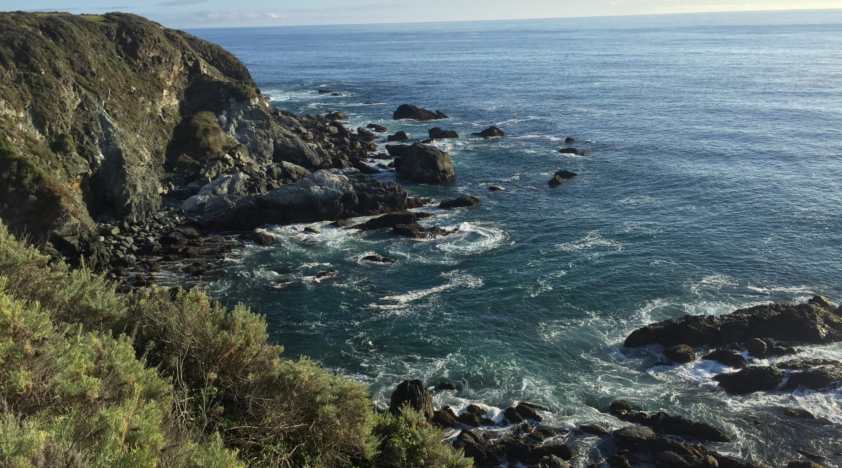
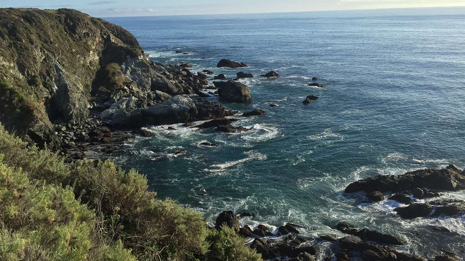
It’s the sound of the Pacific’s waves on the rocky headlands. It’s the water’s energy here that you feel. It’s seabirds aloft, sea lions below, and a hint of salt in the air, coupled with knowing that you’re standing feet from the edge of the continent. It combines a nearly overwhelming symphony of experiences that’s unrepeatable until, of course, you drive up the PCH to yet another incomparable experience.
If you read up on PCH, you’ll find it’s part of California State Route 1 (SR1), also called CA 1, the longest state route in California, with portions designated as Pacific Coast Highway (PCH), Cabrillo Highway, Shoreline Highway, and Coast Highway. CA 1 runs from Leggett at the north end to Dana Point, connecting to Interstate 5 (I-5) at the south. The most well-known drive starts in San Francisco and ends in Dana Point; this 655-mile route can be driven in about 10 to 12 hours. But why do that when this road is all about the journey, not the destination?
We’ve driven it twice, both times south to north, although it’s better to drive southbound, on the ocean side of the road, making it easier to see the shore and turn right into the parking areas rather than crossing over traffic. If you have only one chance to do this drive, the slower you go, with overnight stops every 50-75 miles and a few added nights in the areas you want to explore, will reward you with unforgettable photos and memories, and if you have a week or two, all the better. At the time of publishing this story, several areas of CA 1 are currently closed. For more information, please visit any of the following websites: www.parks.ca.gov, roads.dot.ca.gov, or www.readymontereycounty.org.
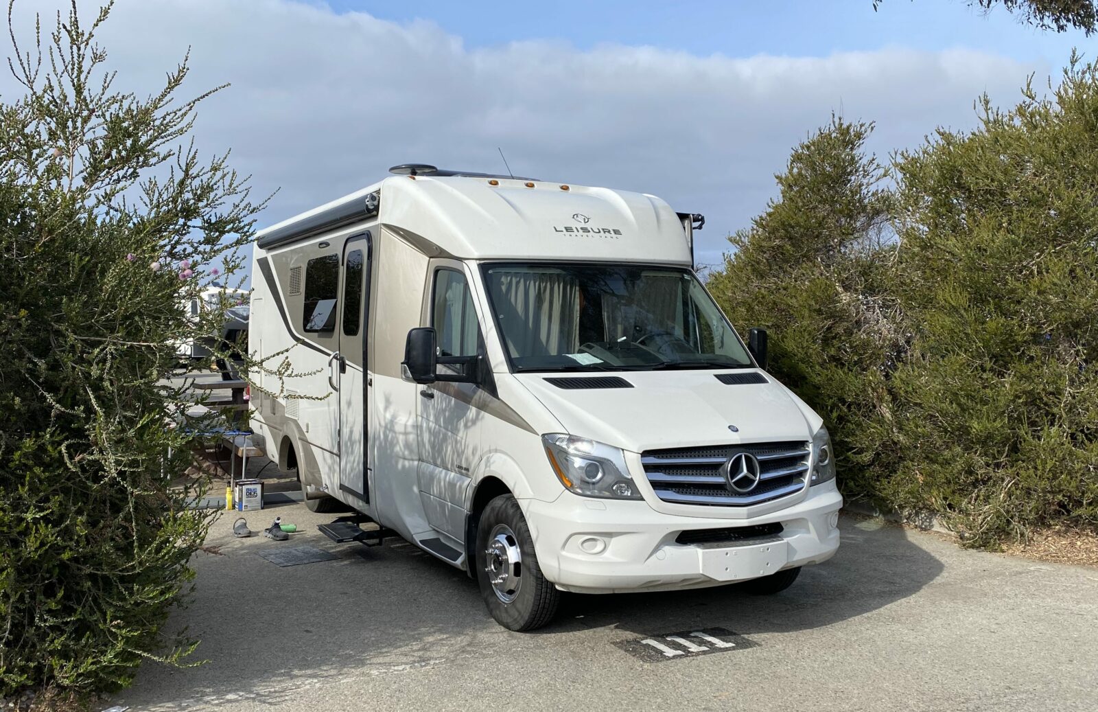
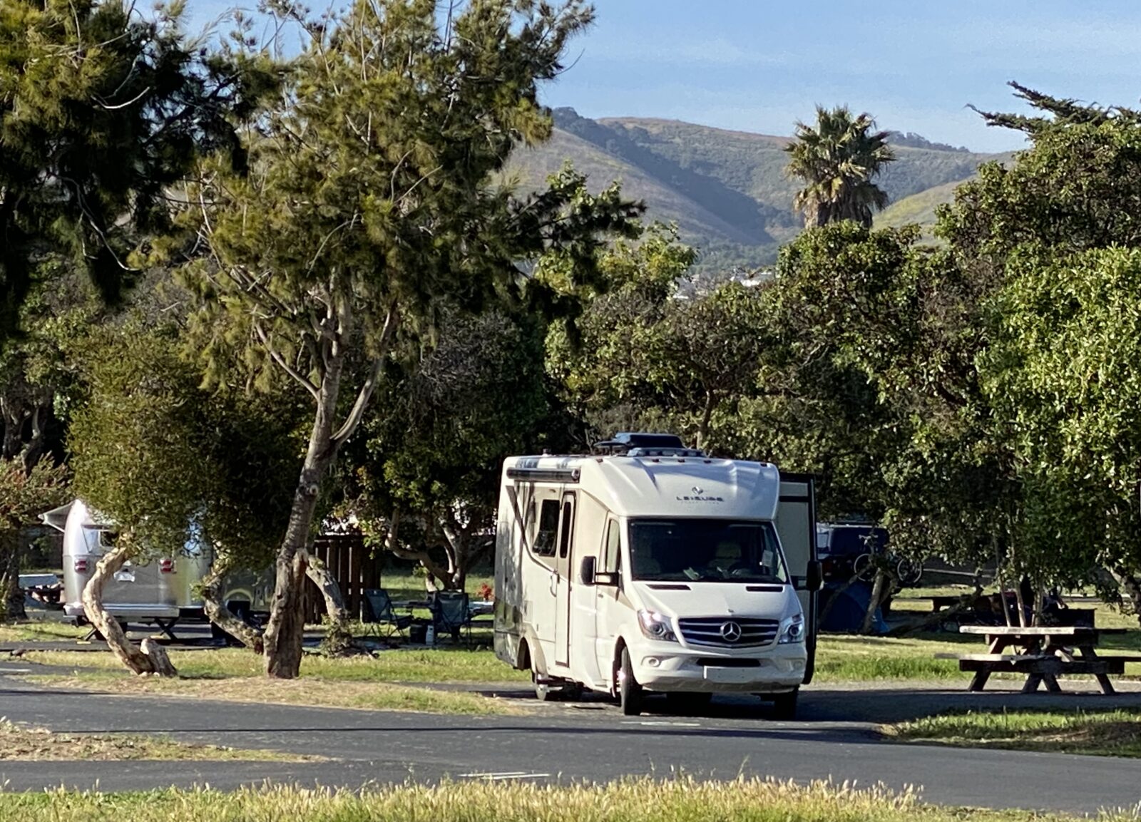
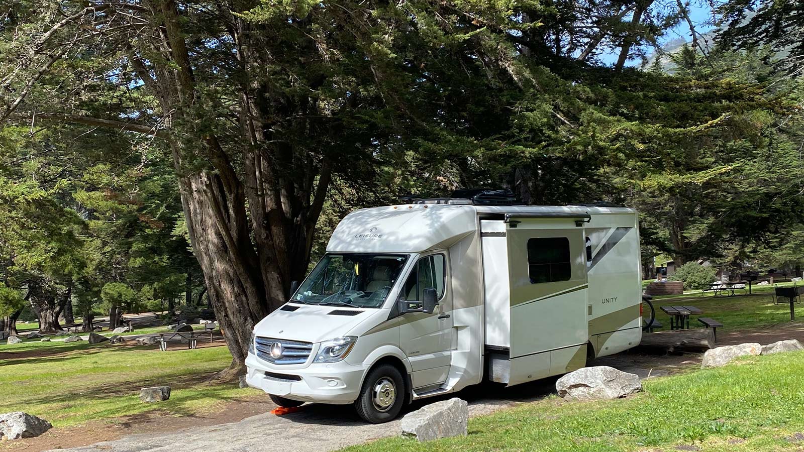
So here are highlights of the places we’ve stayed and the sites we’ve seen during our two California coast trips, the most recent in our 2015.5 Unity Murphy Bed “Lucky Us.”
Southern Point – Dana Point/Doheny Beach State Park
It all starts (or ends) here. Highway 1 connects to I-5 at Capistrano Beach, near Dana Point. Plan to explore Dana Point and its harbor for a few nights at Doheny Beach State Park.
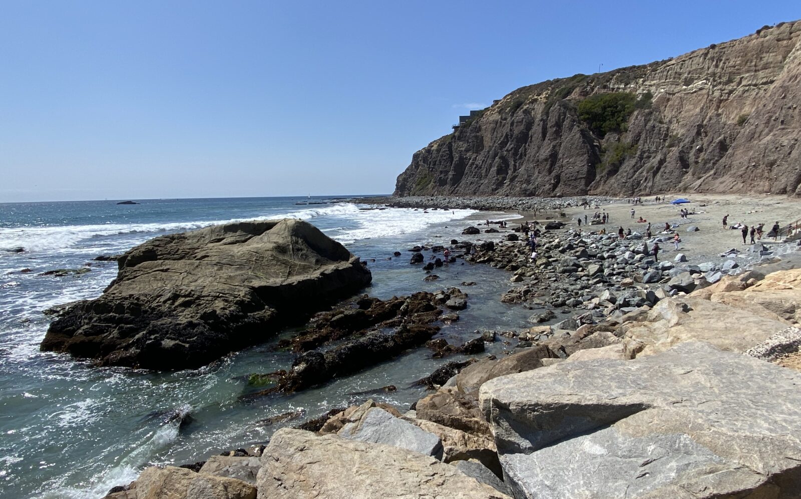
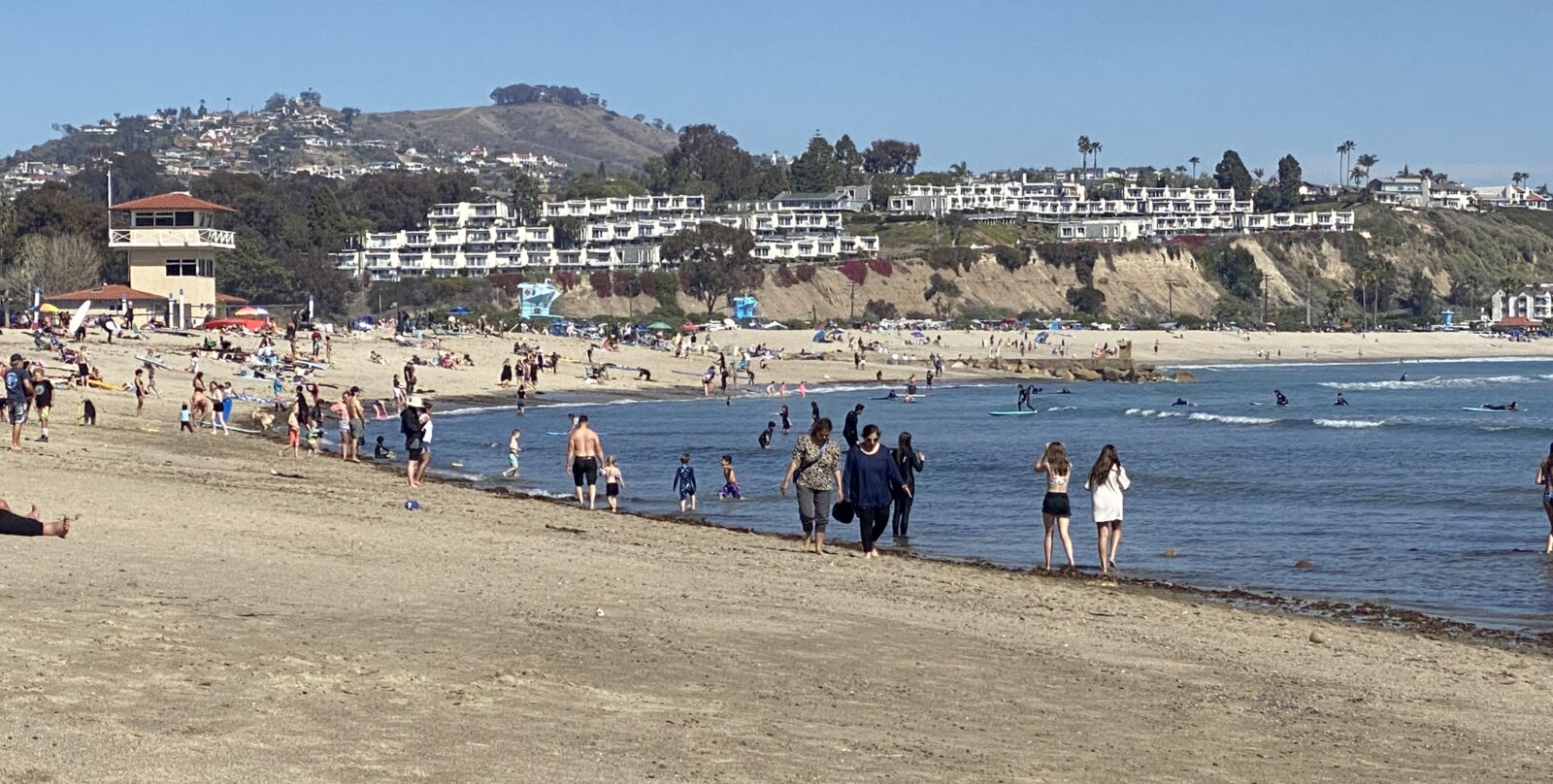
Laguna Beach
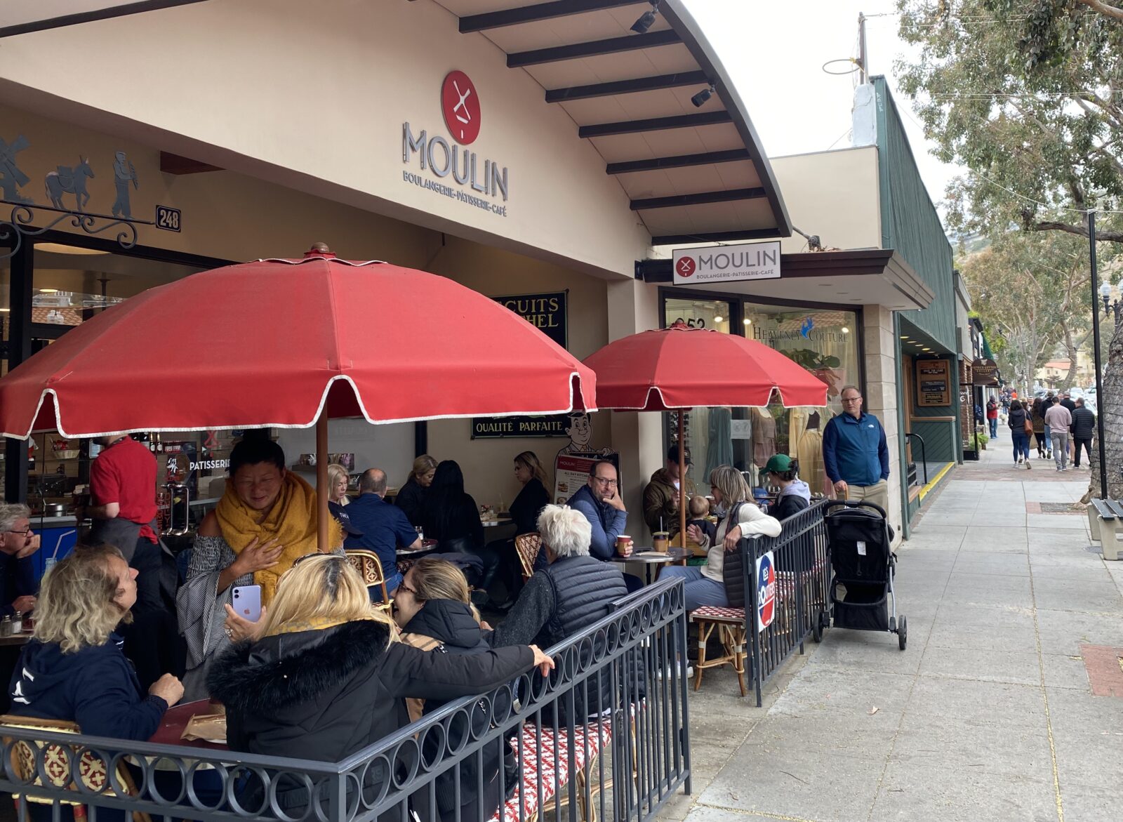
Just nine miles up the coast, Laguna Beach boasts art shops, boutiques, dining and a fabulous beach.
Los Angeles/Venice Beach
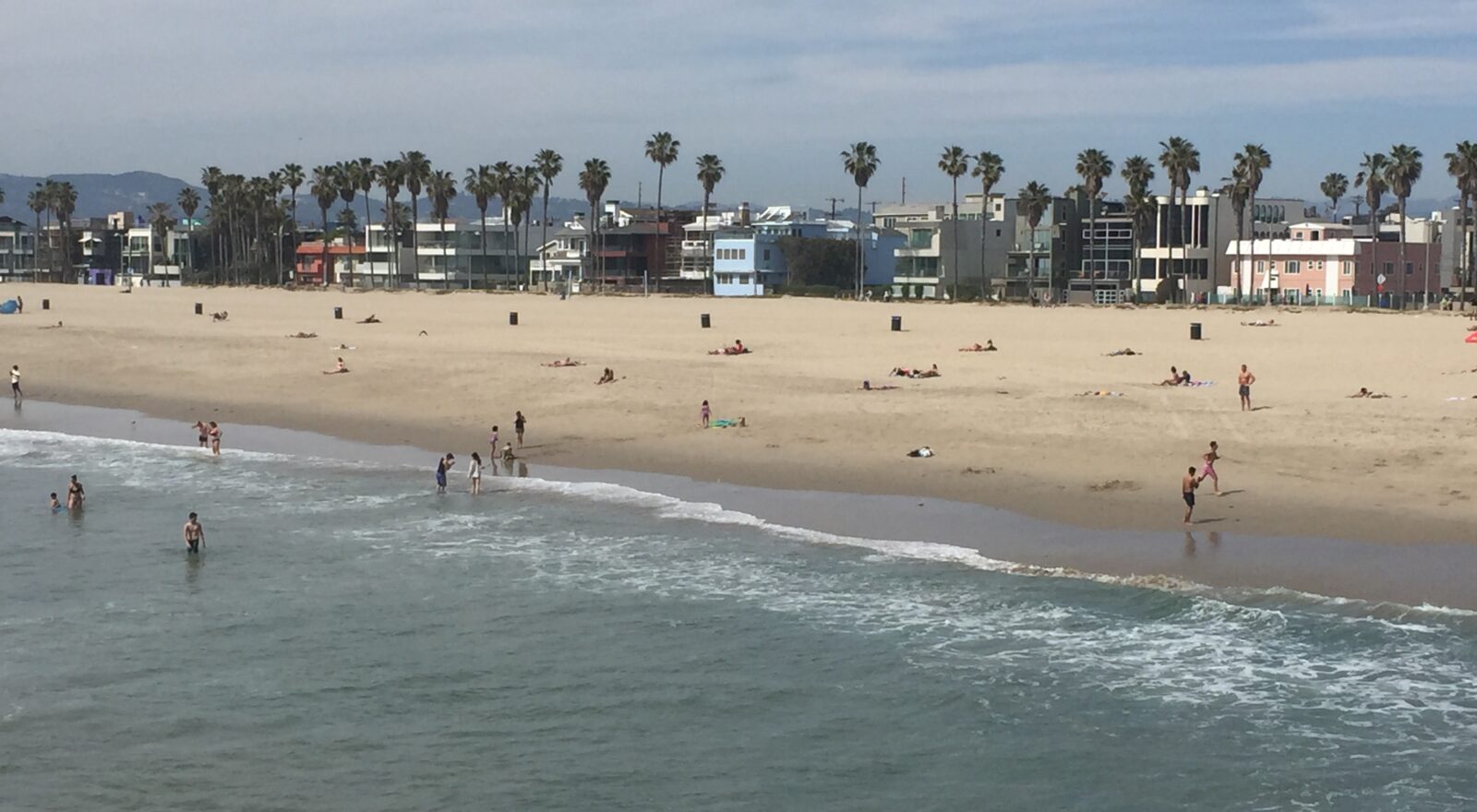
On our first trip, we soon found that we did not want to drive CA 1 through Los Angeles. We turned off after Huntington Beach to get on I-405, and then got off to see Venice Beach, which is about 60 miles north from Laguna Beach. If it’s important to say you’ve been to Venice Beach, then go, but be prepared to drive into a populated town with limited parking for an RV.
Carpinteria State Beach
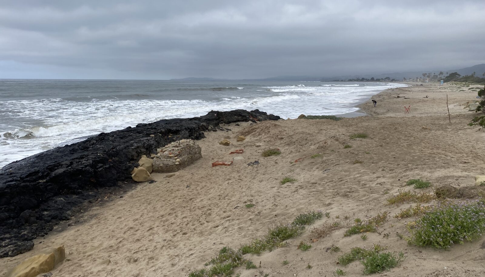
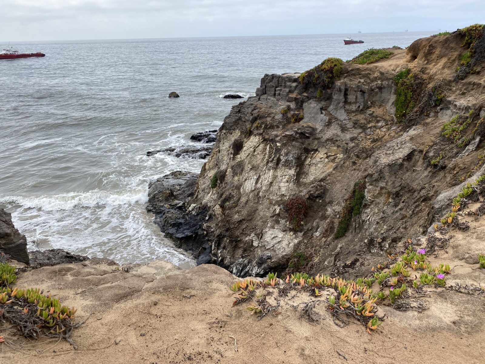
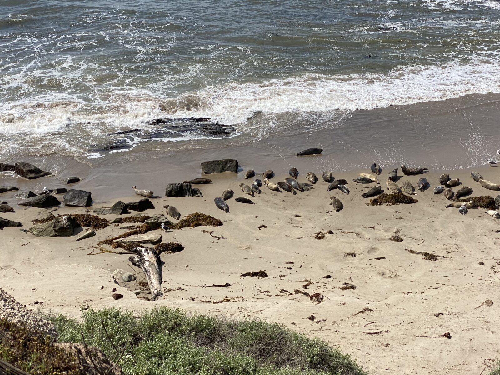
On our second trip, we skipped Venice Beach, continued along I-405, and hopped back on CA 1 at Santa Monica. About 186 miles north of Dana Point, Carpinteria State Beach, near Santa Barbara, is a beautiful overnight stop. Spend an extra day exploring Tar Pits Park here, walking the trails, and observing the seals.

Pismo State Beach
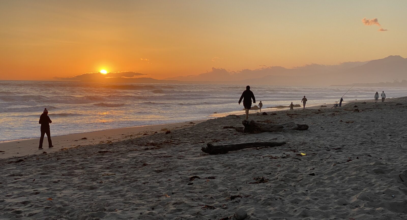
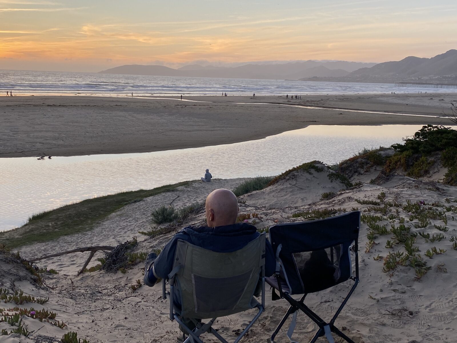
Another 97 miles up the coast is Pismo State Beach; you might see Monarch butterflies in the Monarch Butterfly Grove if you visit November – February. This park also has hiking trails and, of course, a beautiful beach.
Moonstone Beach Park
Drive another 45 miles up the road, and you’ll see signs for Moonstone Beach. This is a worthwhile stop to walk along the shore, stretch your legs, and search for moonstones. People come here looking for them; we lucked out when a couple of beach hounds gave us some.

Hearst San Simeon State Park
Just another four miles up the road is Hearst San Simeon State Park, one of the oldest units of the California State Park system. In addition to its pier and dramatic vistas, this park is a convenient stop if you want to tour Hearst Castle. Of course, the Semions had to stay at San Simeon.
Hearst Castle
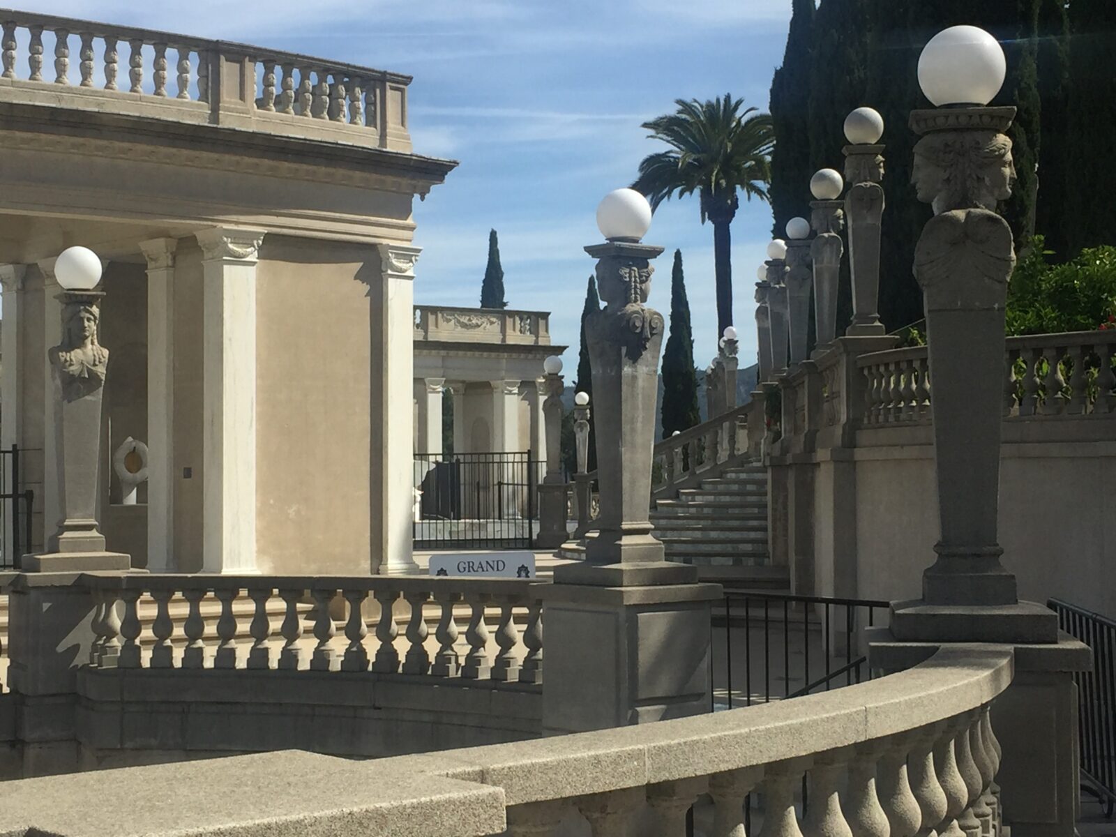
Six miles up the road from Hearst San Simeon State Park is Hearst Castle, which William Randolph Hearst began building in 1919. The estate, which he called “La Cuesta Encantada” or “The Enchanted Hill,” includes the main building, three guesthouses, and 127 acres of gardens, fountains, and pools. Advance purchase of tour tickets is recommended.

Elephant Seal Vista Point
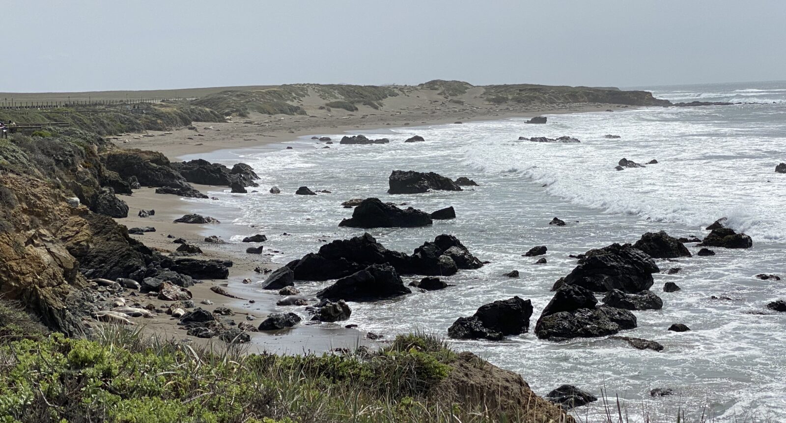
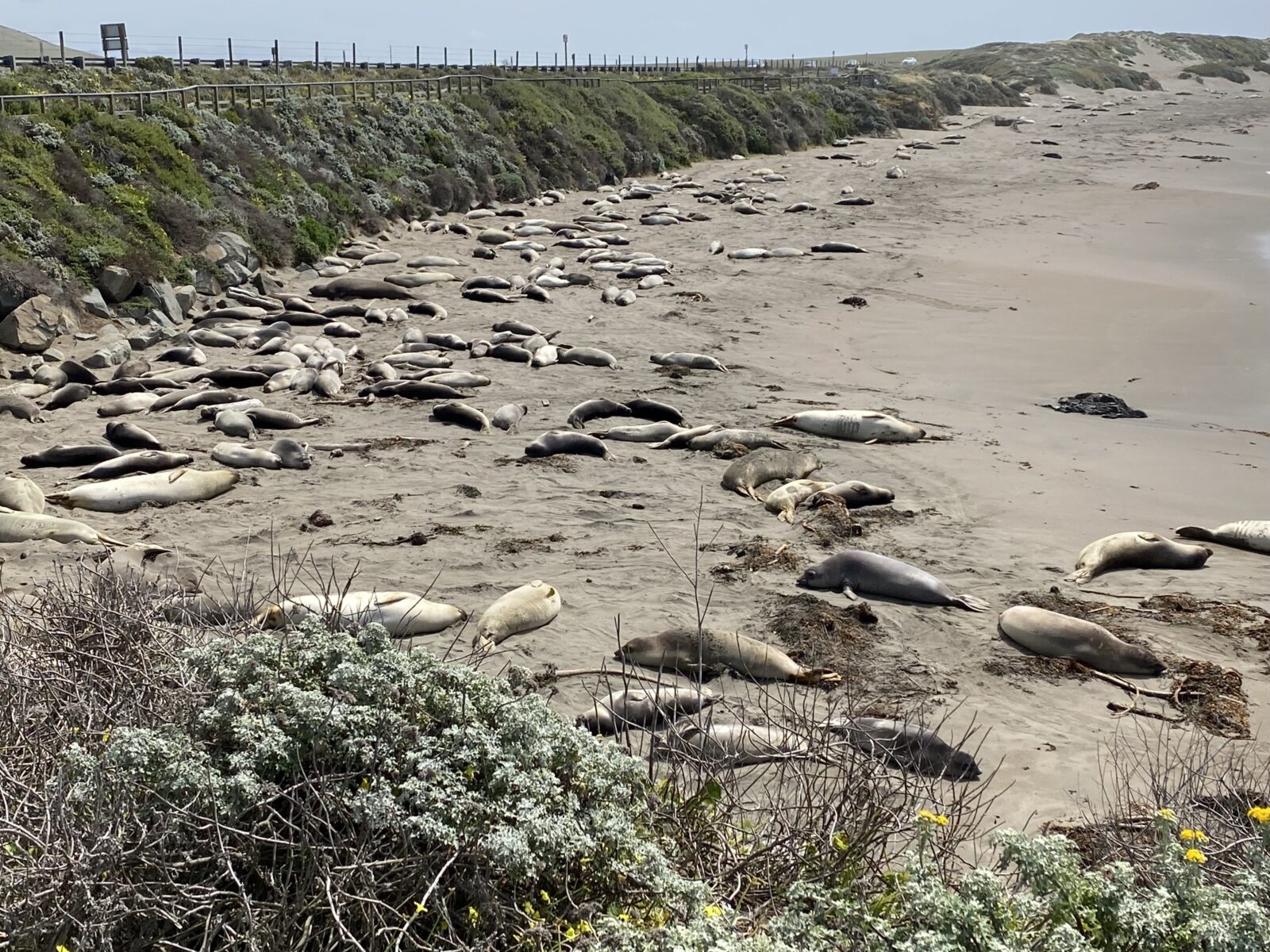
You’ll find the Elephant Seal Vista Point another five miles up from Hearst Castle or nine miles up from San Simeon State Park. If you aren’t from California, you may be amazed at the number of seals lounging on the sand – up to 18,000 migrate to this four-mile beach area from November through March.
Big Sur
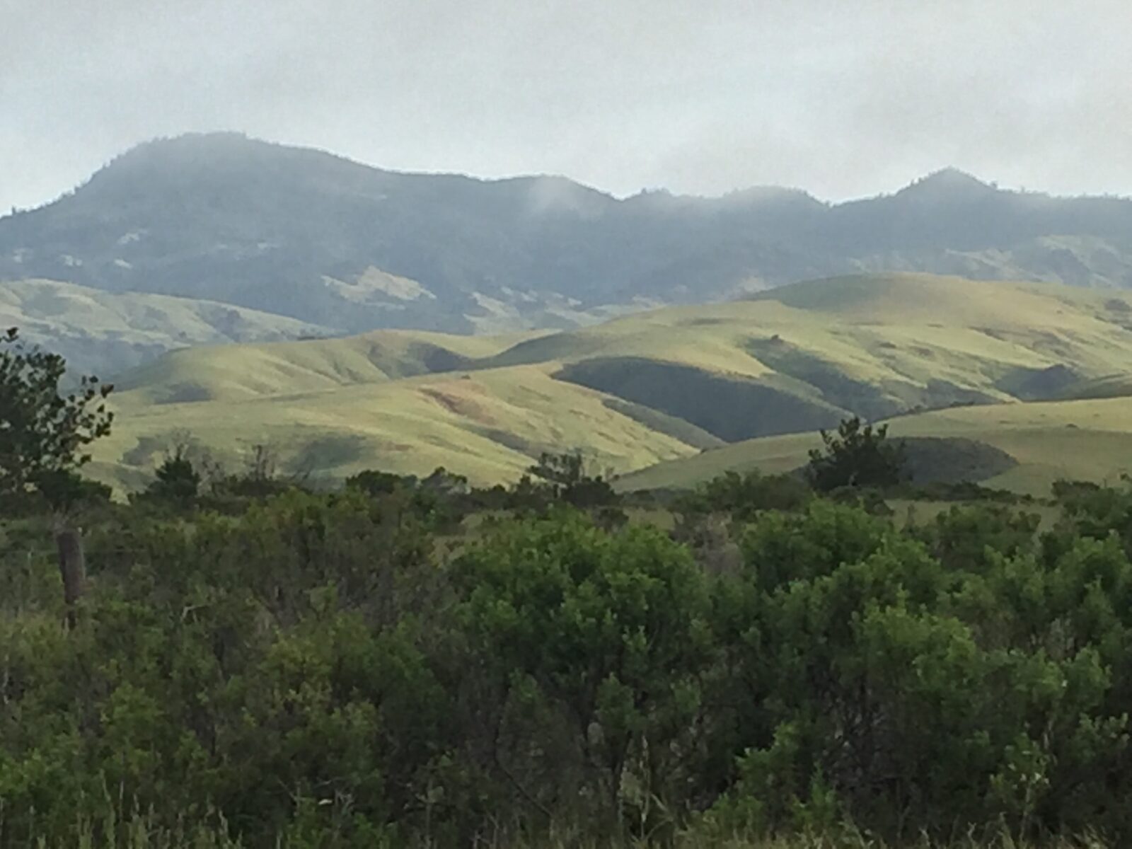
Once you pass San Carpoforo Creek (about 20 miles beyond San Simeon), you have officially entered Big Sur, where the Santa Lucia Mountains meet the shore, giving some of the most spectacular views ever. Frequently called one of the most beautiful coastlines anywhere in the world, this is also the area most likely to encounter heavy traffic and road closures due to rockslides and other natural disasters, so please check ahead before you venture. Big Sur continues about another 71 miles along CA Route 1.
Plasket Creek
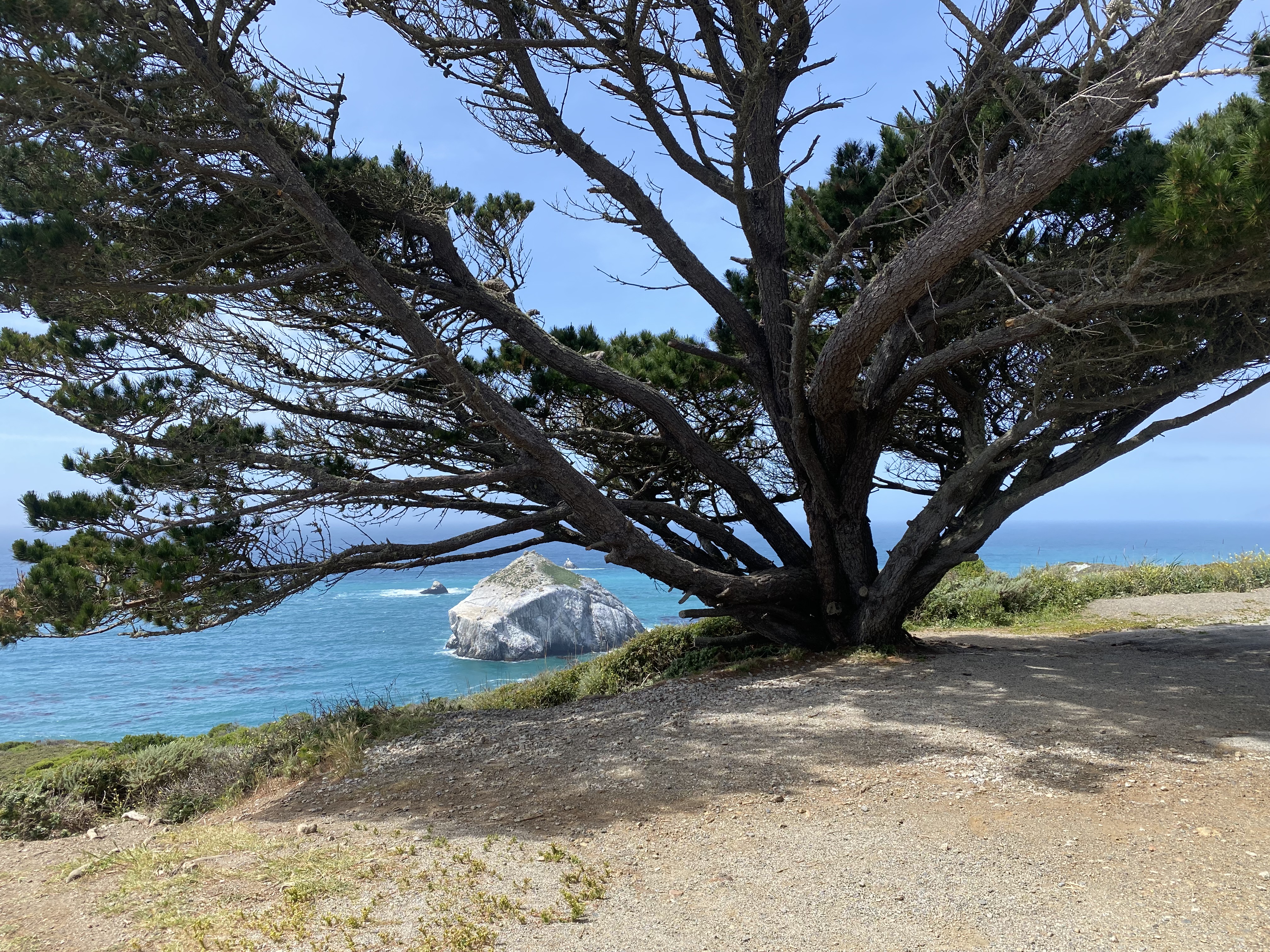
One of our favorite stops, the U.S. Forest Service’s Plasket Creek Campground in Los Padres National Forest, is near Sand Dollar Beach. It’s about 35 miles from Hearst San Simeon State Park.
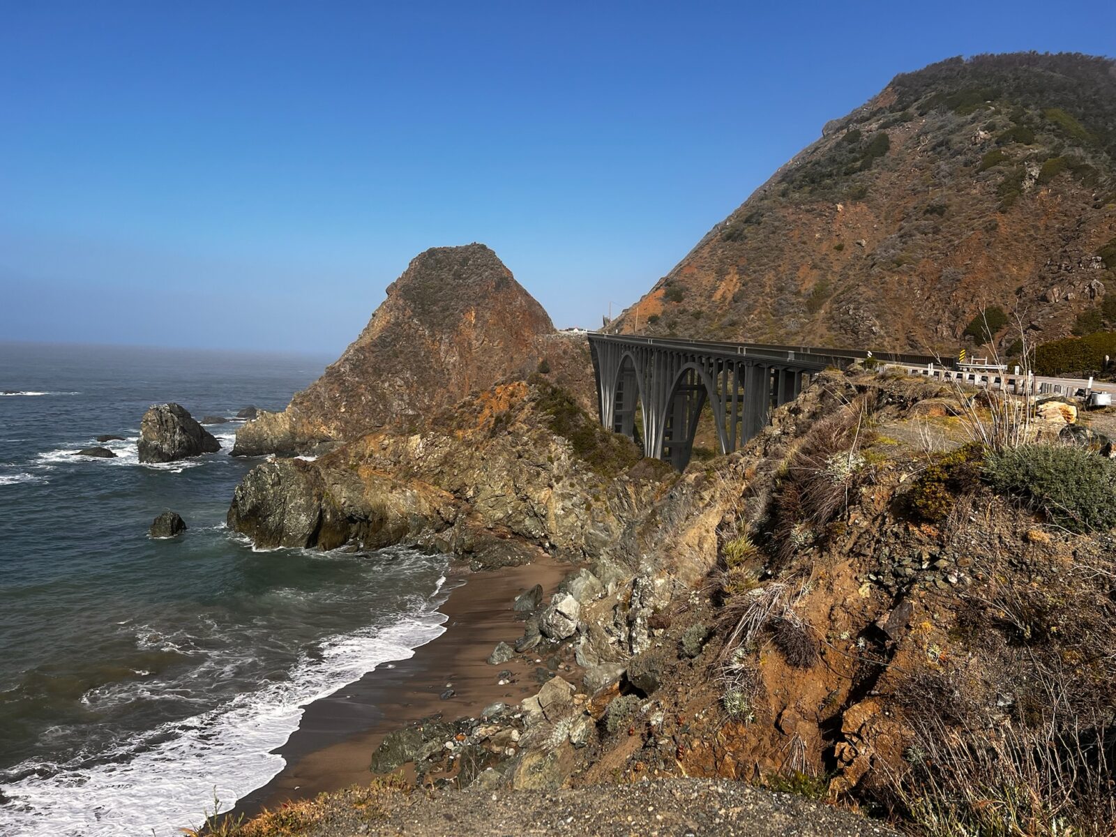
Julia Pheiffer Burns State Park
If you have the time to extend your stay, this would be the place. Julia Pheiffer Burns State Park is named after a pioneer woman in the Big Sur area. It boasts redwood, tan oak, madrone, and chaparral trees, along with an 80-foot waterfall cascading from granite cliffs into the ocean.
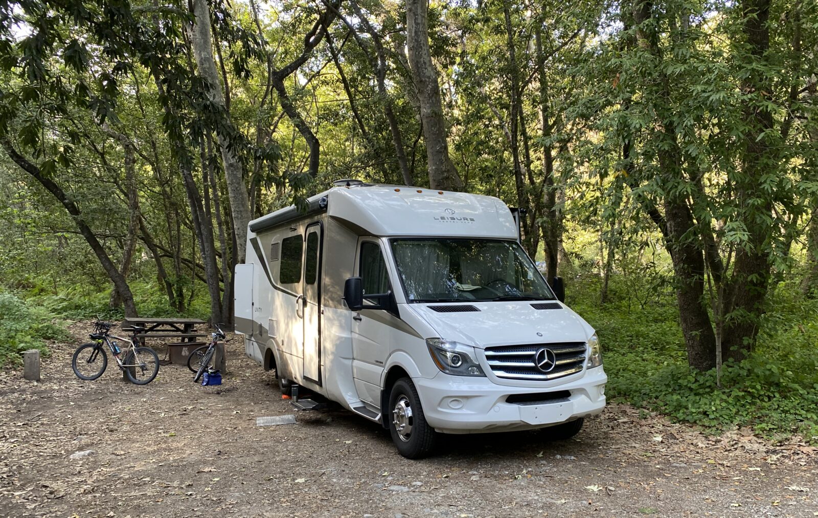
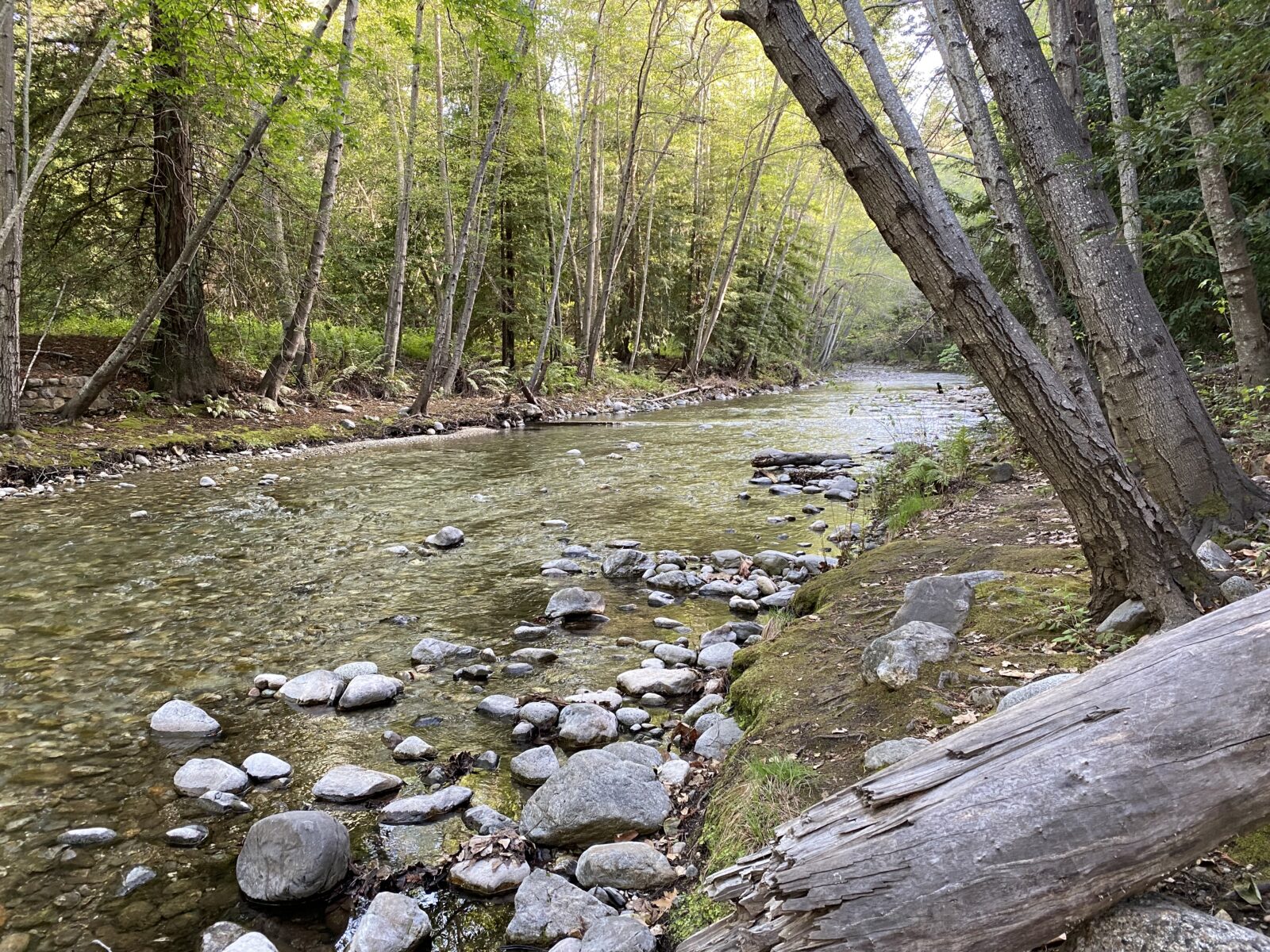
Stop Again? Yes!
Once past Point Sur State Historic Park, you’ll see another roadside viewing area. Yes, stop again.
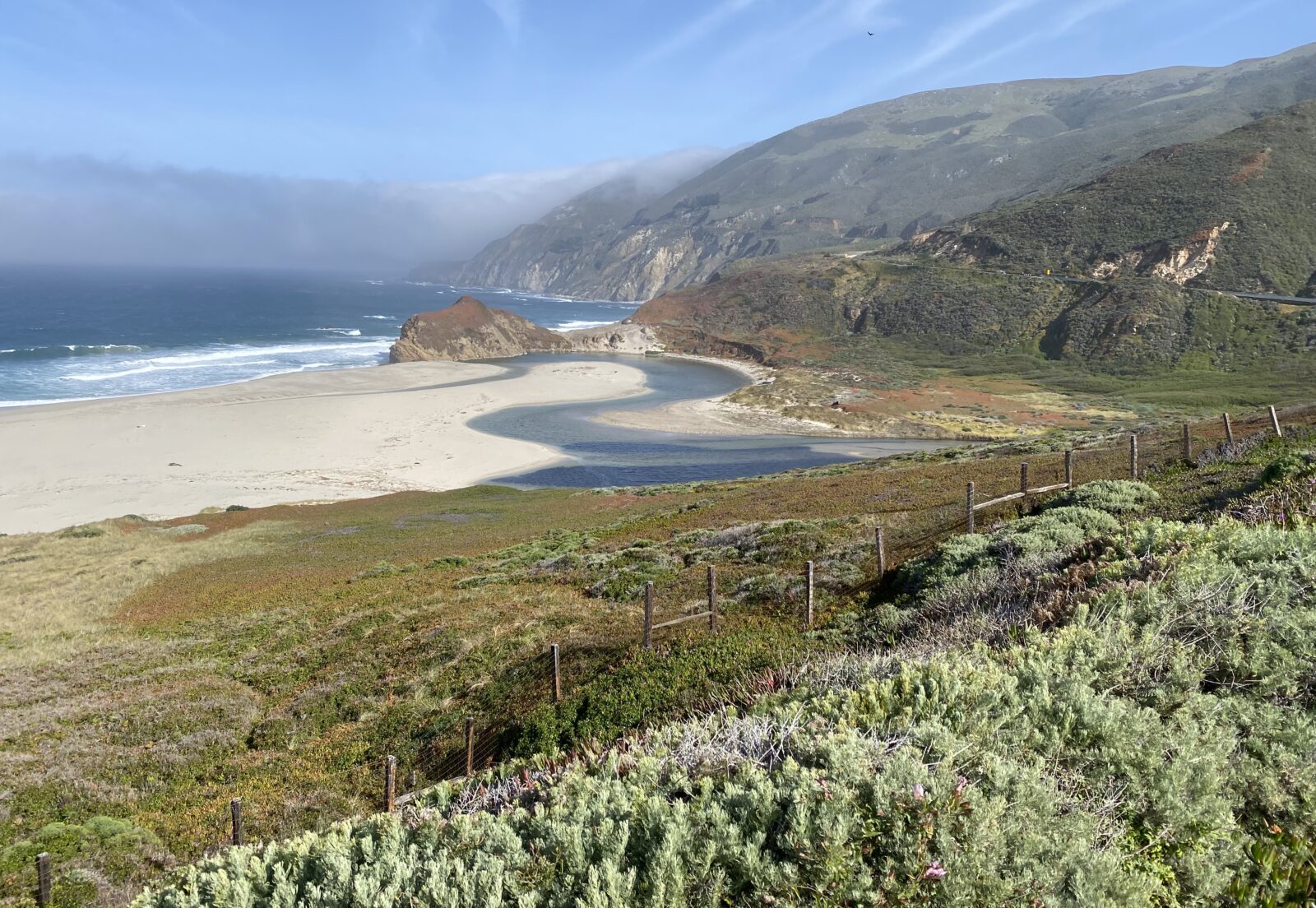
Carmel-by-the-Sea and Pebble Beach Drive
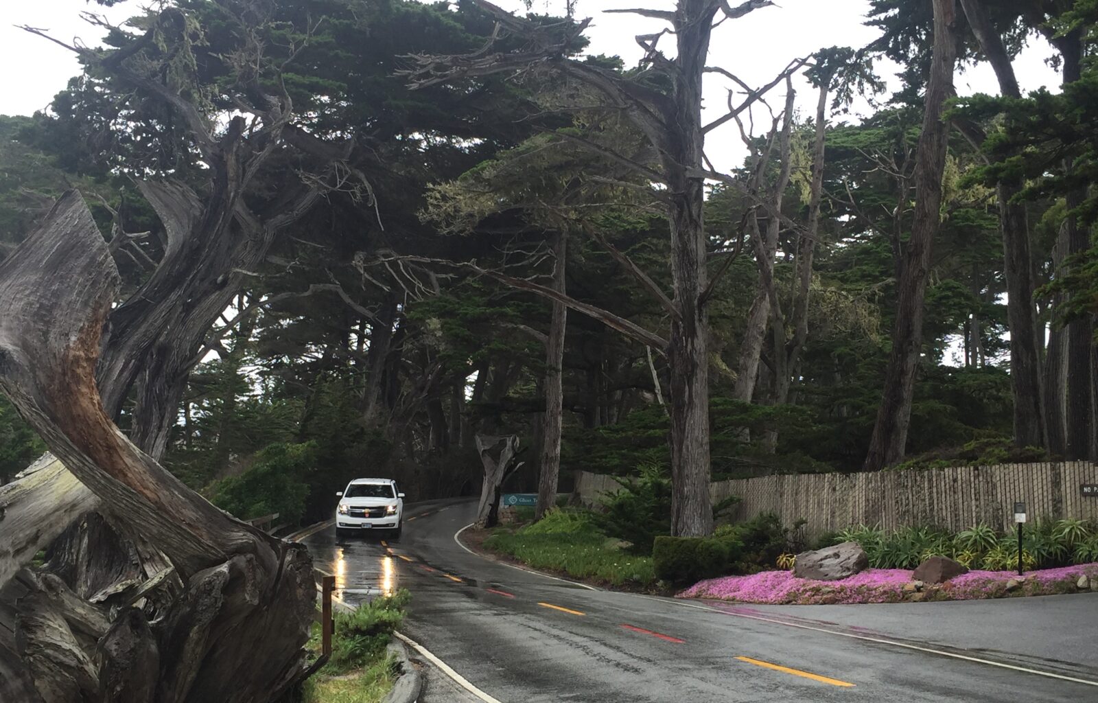
Head another 36 miles north, and you’ll be at Carmel-by-the-Sea, rich with artsy shops, garden cottages, fine dining and more. We took Pebble Beach Drive, noted to be one of the world’s most scenic. This 17-mile route begins at the bottom of Ocean Avenue in Carmel, near the Green Lantern Inn. Don your best designer hat and sunglasses while driving by fabulous estates, high-end cars and more. You’ll end up at world-famous Pebble Beach Golf Course.
Castroville
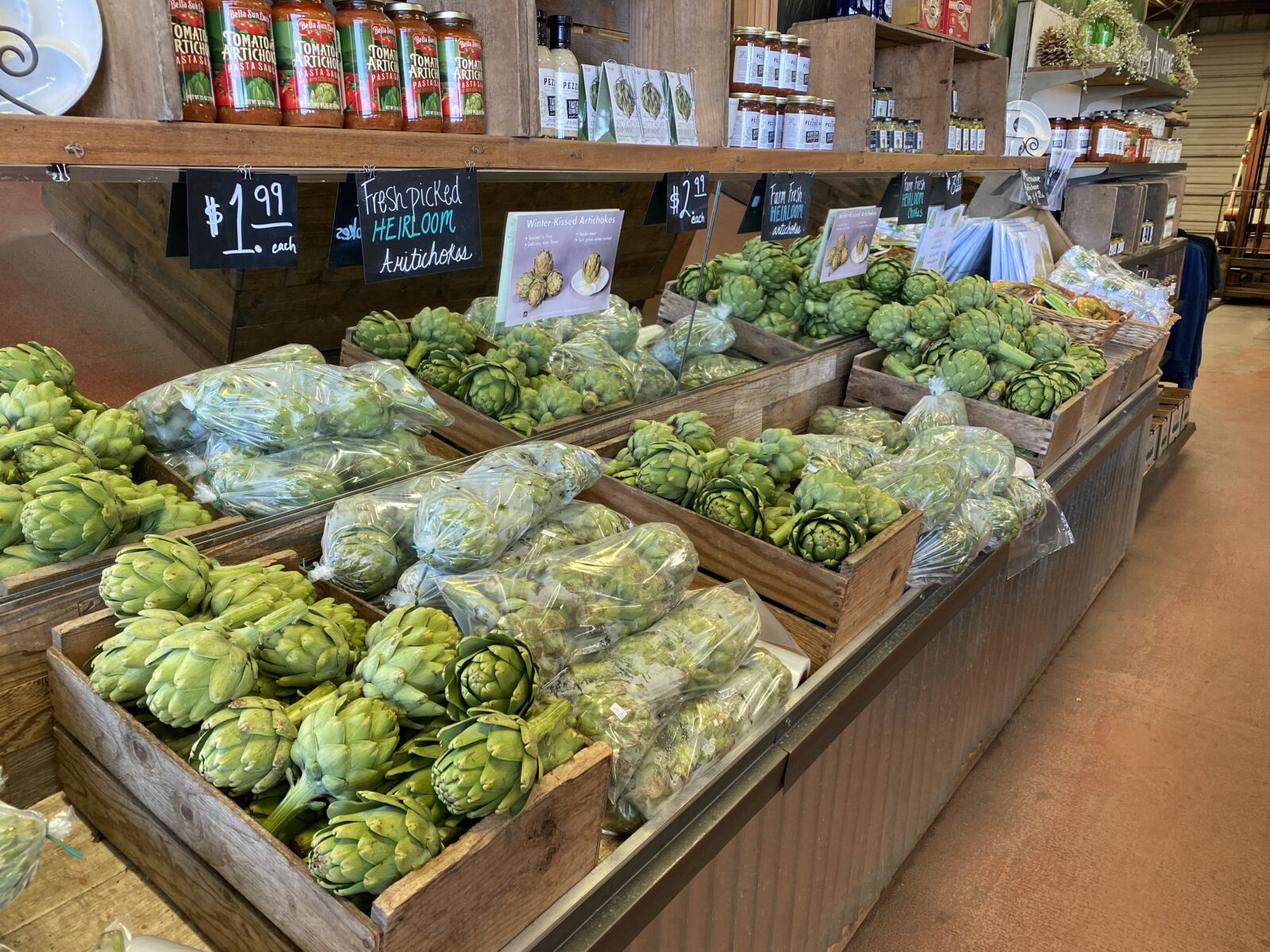
Once you pass Carmel-by-the-Sea and the city of Marina, you’ll head inland a bit, going by Castroville, called the “Artichoke Capital of the World.” Monterey County produces nearly two-thirds of the world’s artichokes; you’ll see several farm markets along the way.
Sunset Beach State Park
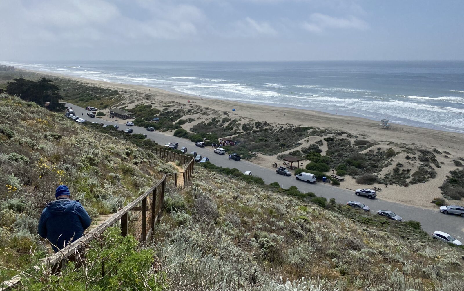
About 33 miles north of Carmel-by-the-Sea, Sunset State Beach offers respite and views of Monterrey Bay. You are now less than 100 miles from the Golden Gate Bridge.
Golden Gate Bridge
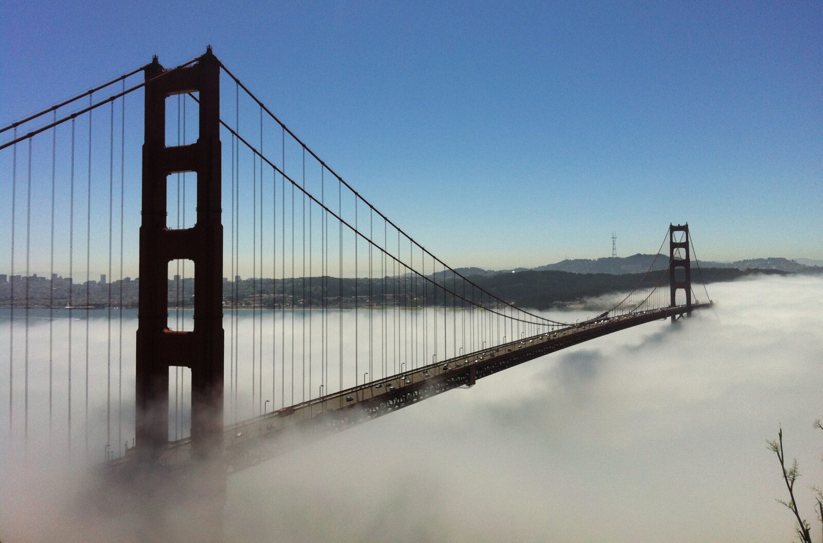
We’ve now reached – and crossed the Golden Gate Bridge.
When You Go
Pay attention to California Highway updates for any closures. Advance reservations are recommended at every campground. Please plan ahead for fuel stops, as it can be pretty expensive.


Comments