Editor’s Note: This post is written by a member of LTV’s sponsored content team, The Leisure Explorers. Do you own a Leisure Travel Van and enjoy writing? Learn more about joining the team.
“To stand at the edge of the sea, to sense the ebb and flow of the tides, to feel the breath of a mist moving over a great salt marsh, to watch the flight of shore birds…is to have knowledge of things that are as nearly eternal as any earthly life can be.” – Rachel Carson.
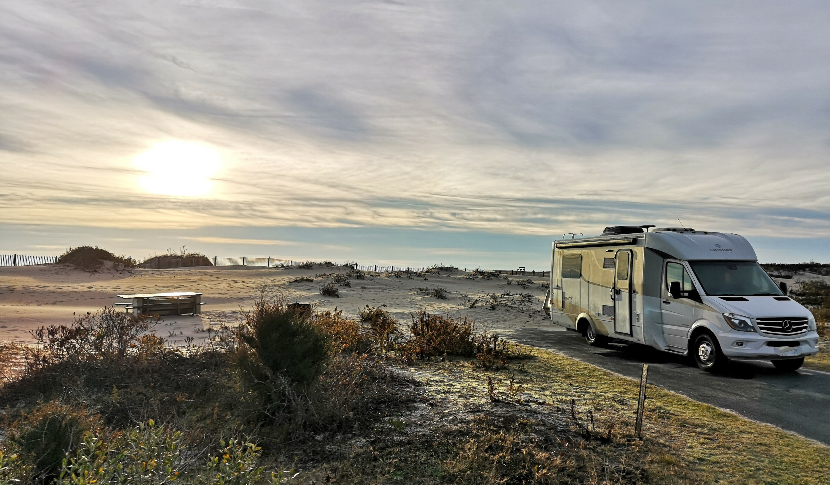
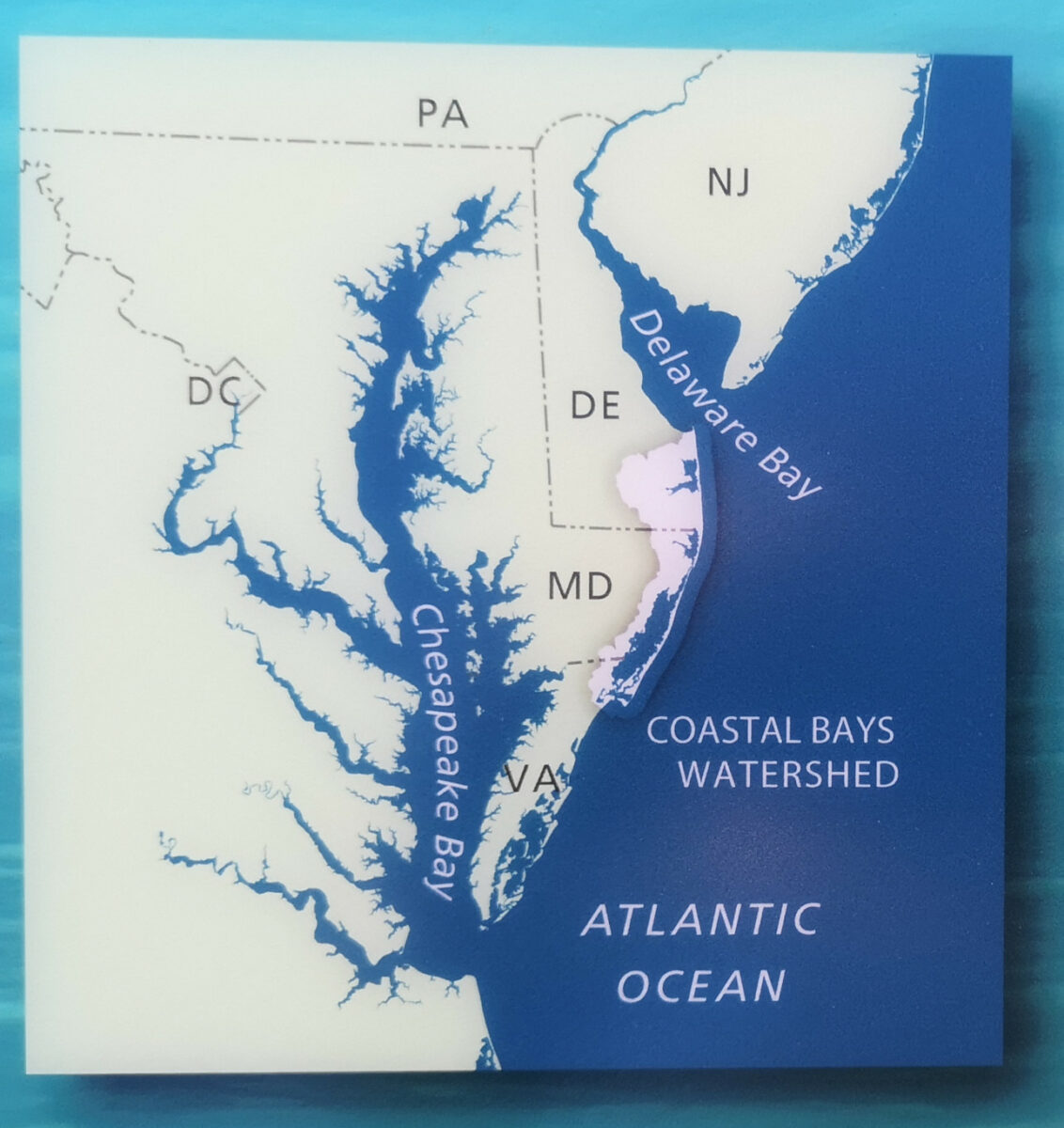
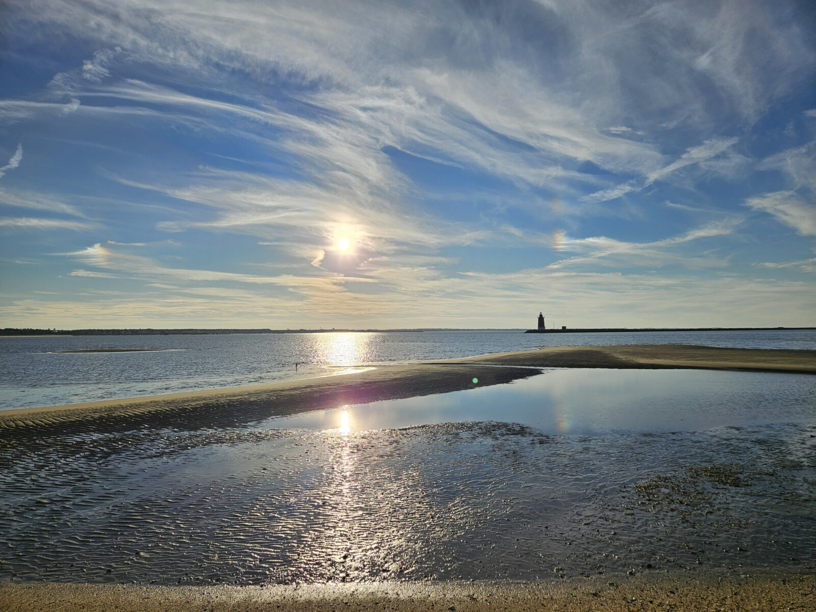
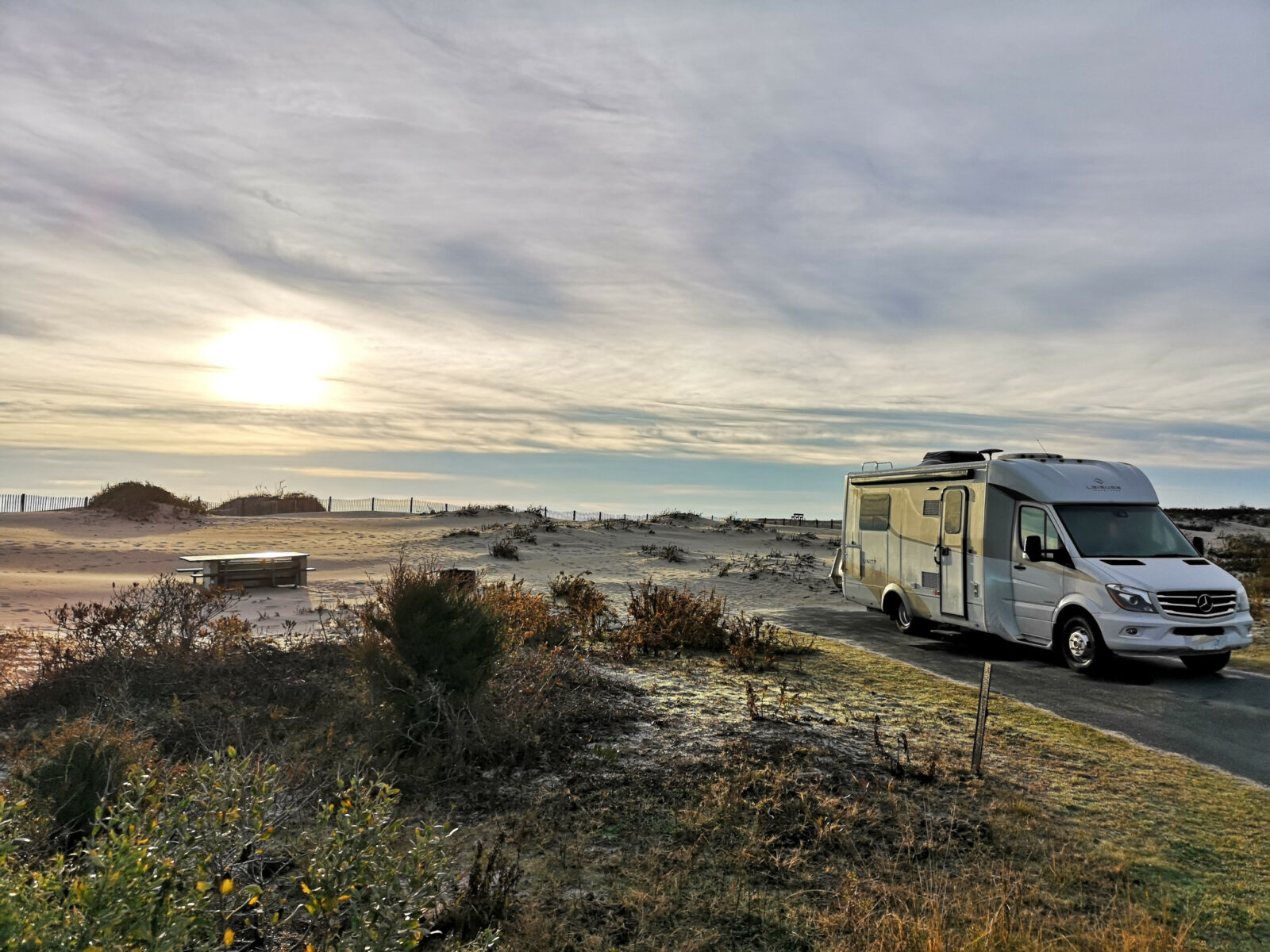
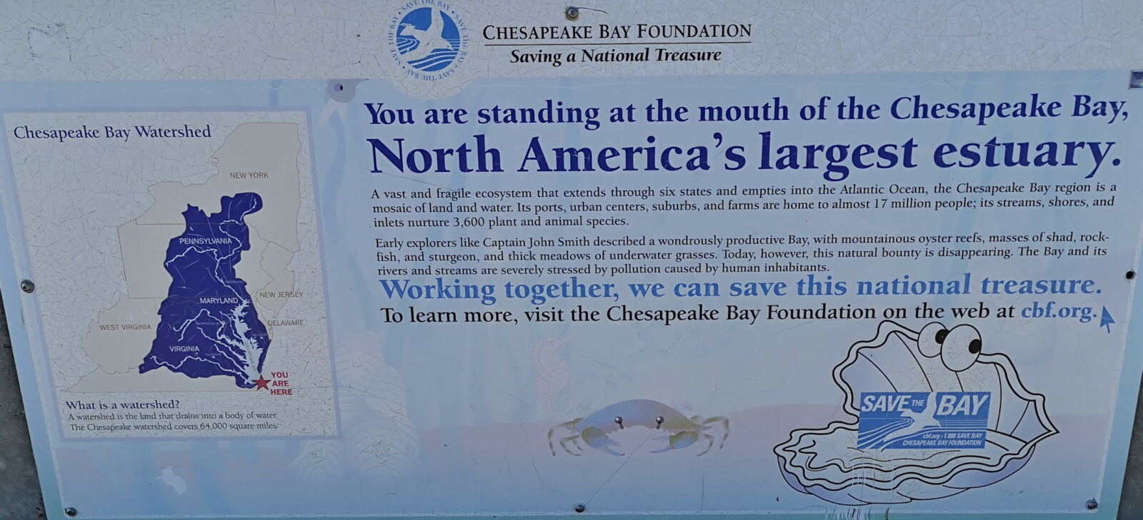
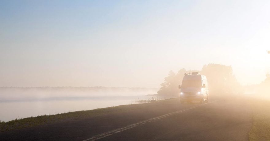
Our travel style is to go with the flow, so we named our RV Plankton. As we were heading south from Ontario for this year’s snowbird adventures, we were monitoring weather conditions, and it looked like we could de-winterize sooner if we turned east and went to the Atlantic coast. This led us to the Delmarva peninsula and our first stop at Cape Henlopen State Park. Delmarva peninsula is 274 kilometers long and covers portions of Delaware, Maryland, and Virginia. It borders Chesapeake Bay to the west, the Atlantic Ocean to the east, and Delaware Bay to the north.
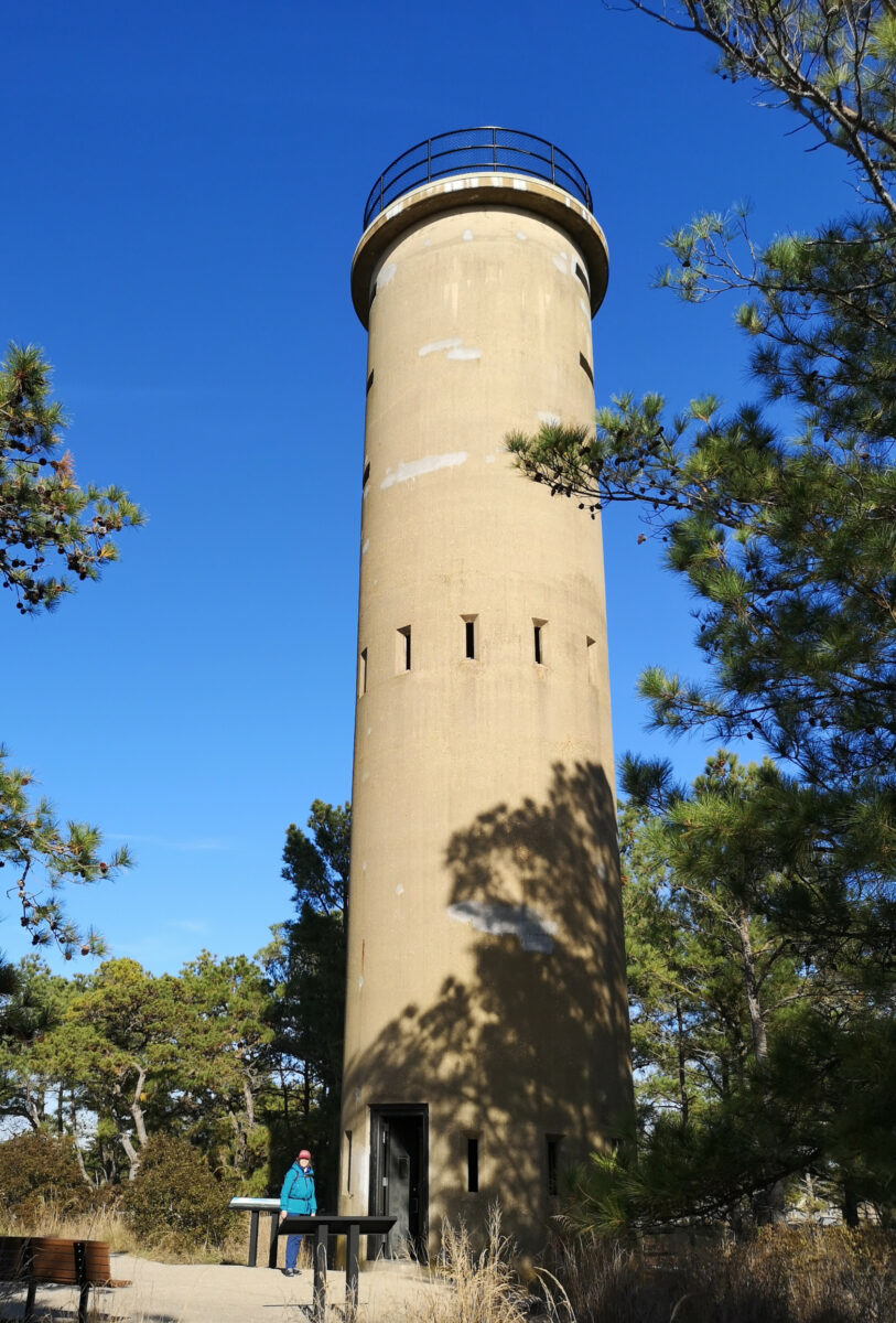
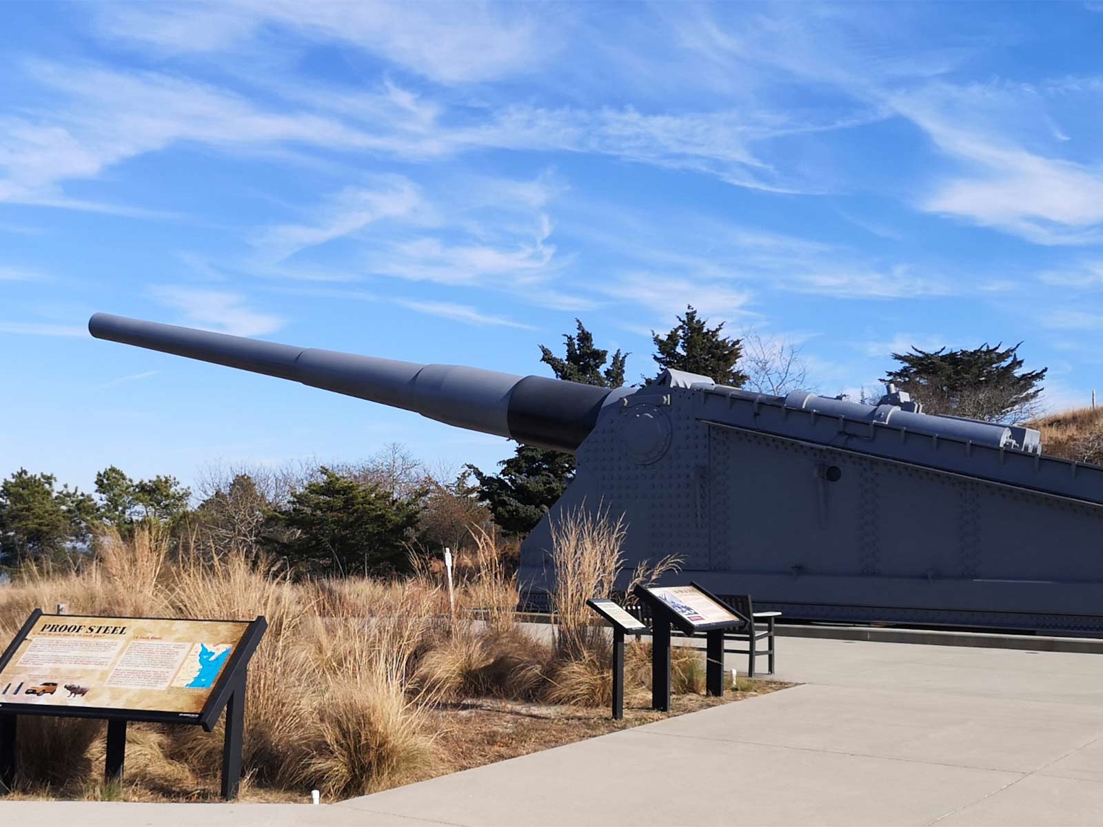
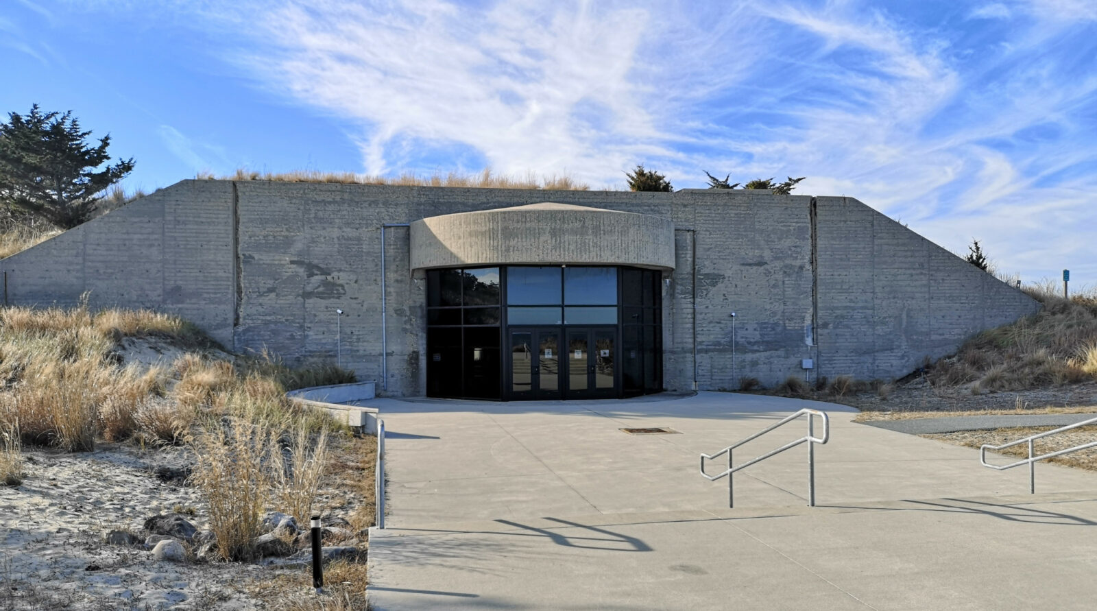
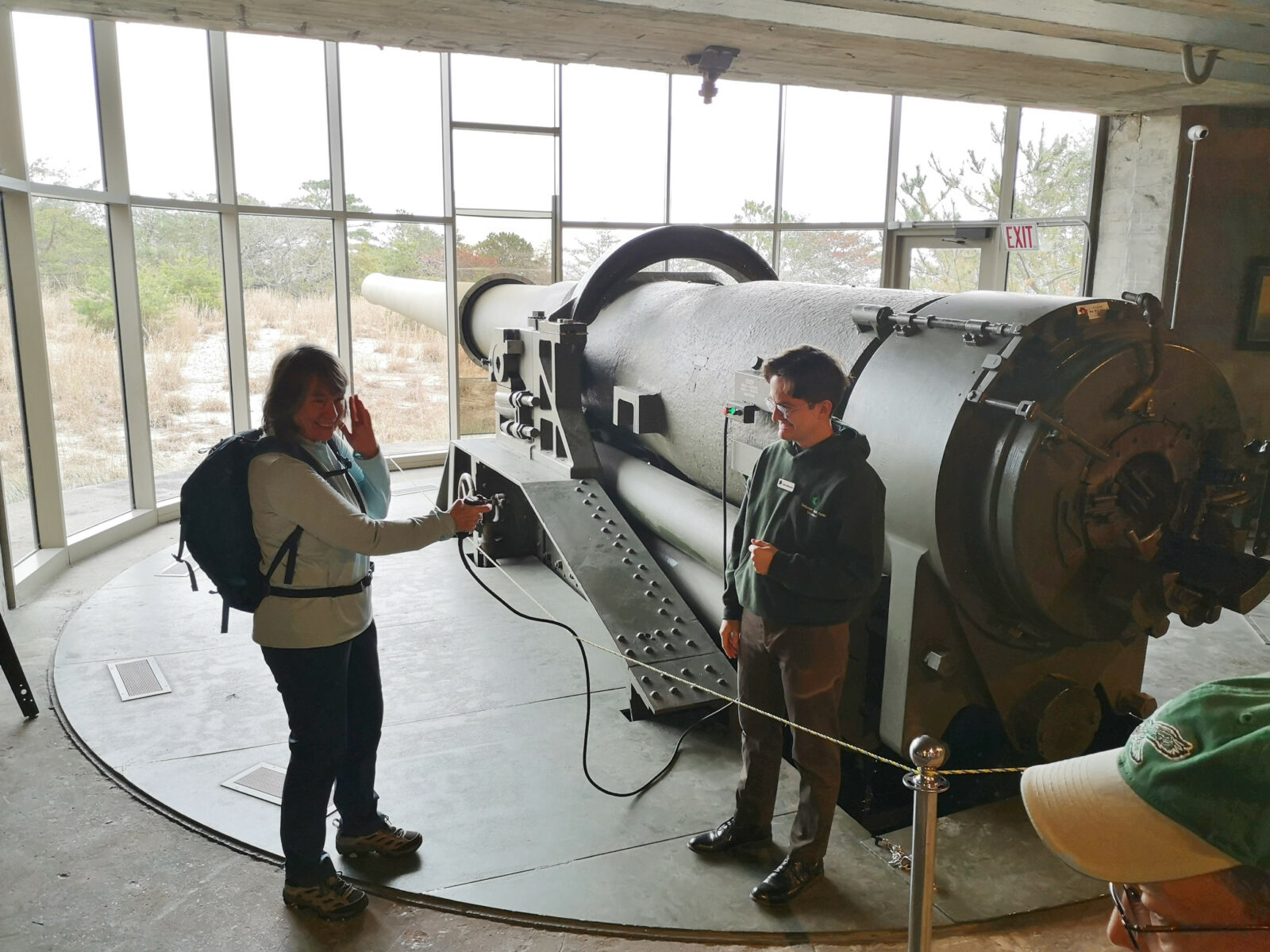
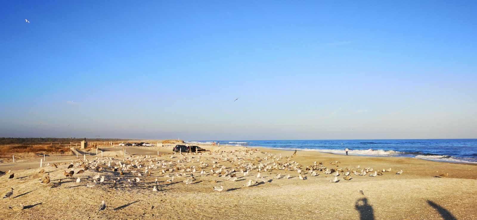
We decided to stay three nights at Cape Henlopen as there was much to see and do in this state park. Our first day was sunny, so we did a 12-kilometer hike to see the Observation Tower and the outside exhibits at Fort Miles and then walked around the Point on the beach. There are 11 concrete observation towers along the Delaware coast, built from 1939 to 1942, so they could watch out for any German ship attacks in WWII and, in turn, inform the gun posts in the Batteries along the coast. They were built to last 20 years but are still standing! We climbed to the top of the main tower to view the park and coastline. Fort Miles consisted of the concrete buildings that were used to house the soldiers who manned the guns in Battery 519. Later, it was used as a recreation area before the military donated the land for the State Park. On the grounds, they have examples of all the different-sized guns that were originally used at the Battery, the most impressive being the 16″ gun that could actually fire up to 25 miles out to sea. The Fort also maintained a minefield that stretched between Cape Henlopen and Cape May to protect Delaware Bay.
We found out they had a tour of the inside of Battery 519 the following day, so we signed up for the $5 1-hour tour. We arrived early, allowing us to watch an old training video to teach the soldiers how to fire the 16″ gun. It took 25 men with varying jobs to fire the guns. On the tour, the volunteer guide explained the depth of the concrete walls used to protect from enemy ship fire. They had a demonstration area of the plotting room where they used slide rules to calculate how to hit the spotted ships. Then he showed us the powder room and the shell room, where they had a hoist and rail system to move the shells to where the gun was located. In the gun room, they showed us where they loaded the shells into the gun, and they had a simulated firing button that Sharon got to press to let you hear the sound volume the guys had to listen to when a gun was fired. Of course, the 25 men had no ear protection back then, so most completely damaged their hearing.
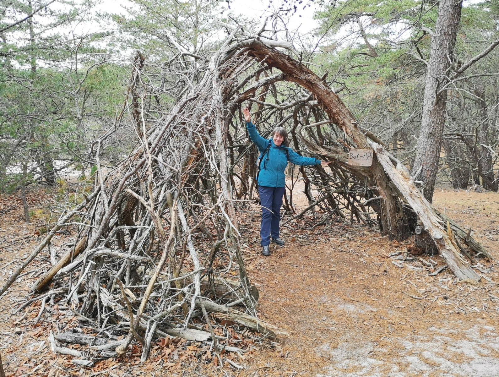
The tour was excellent, and we were glad we first watched the video. After the tour, we went through the museum, where they had some examples of the mines used to protect Delaware Bay. After the tour, we did the Pinelands Nature trail to the Nature Centre and looked around at the exhibits. In early December, it gets dark around 4:45 pm, which makes your days short and your nights long.
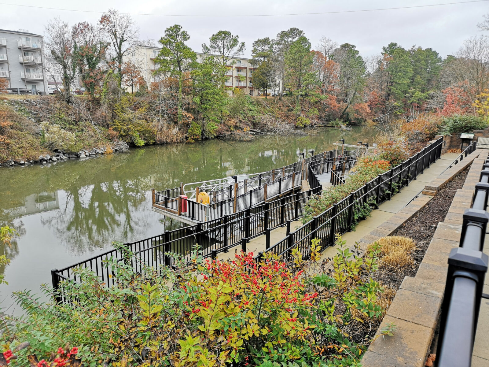
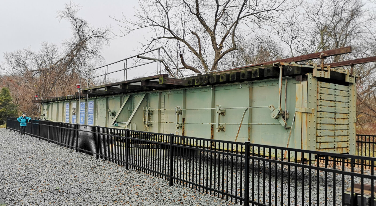
For our last day at Cape Henlopen, we did a 30-kilometer bike ride by some more batteries and observation towers, along the Gordons Pond trail to Whiskey Beach, then on the bike trail through Rehoboth Beach and returned through the Wolfe Neck area of the state park along the Junction and Breakwater trail which was an old rail line. There was a marathon race that morning, and we saw several stragglers, especially in Rehoboth Beach: the bike trails combined gravel, composite boardwalks, and paved bike lanes. Once in Lewes, we saw the location of the old swing bridge and where they had relocated it as a historical artifact.
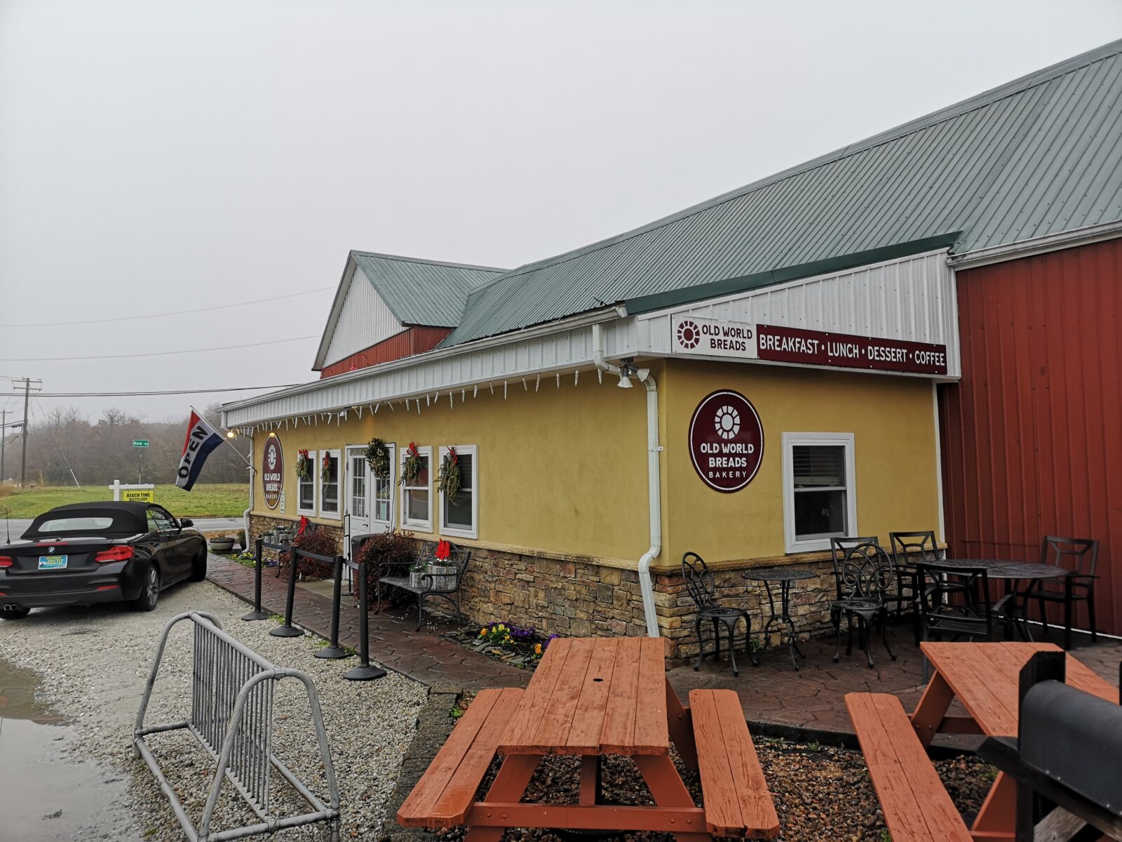
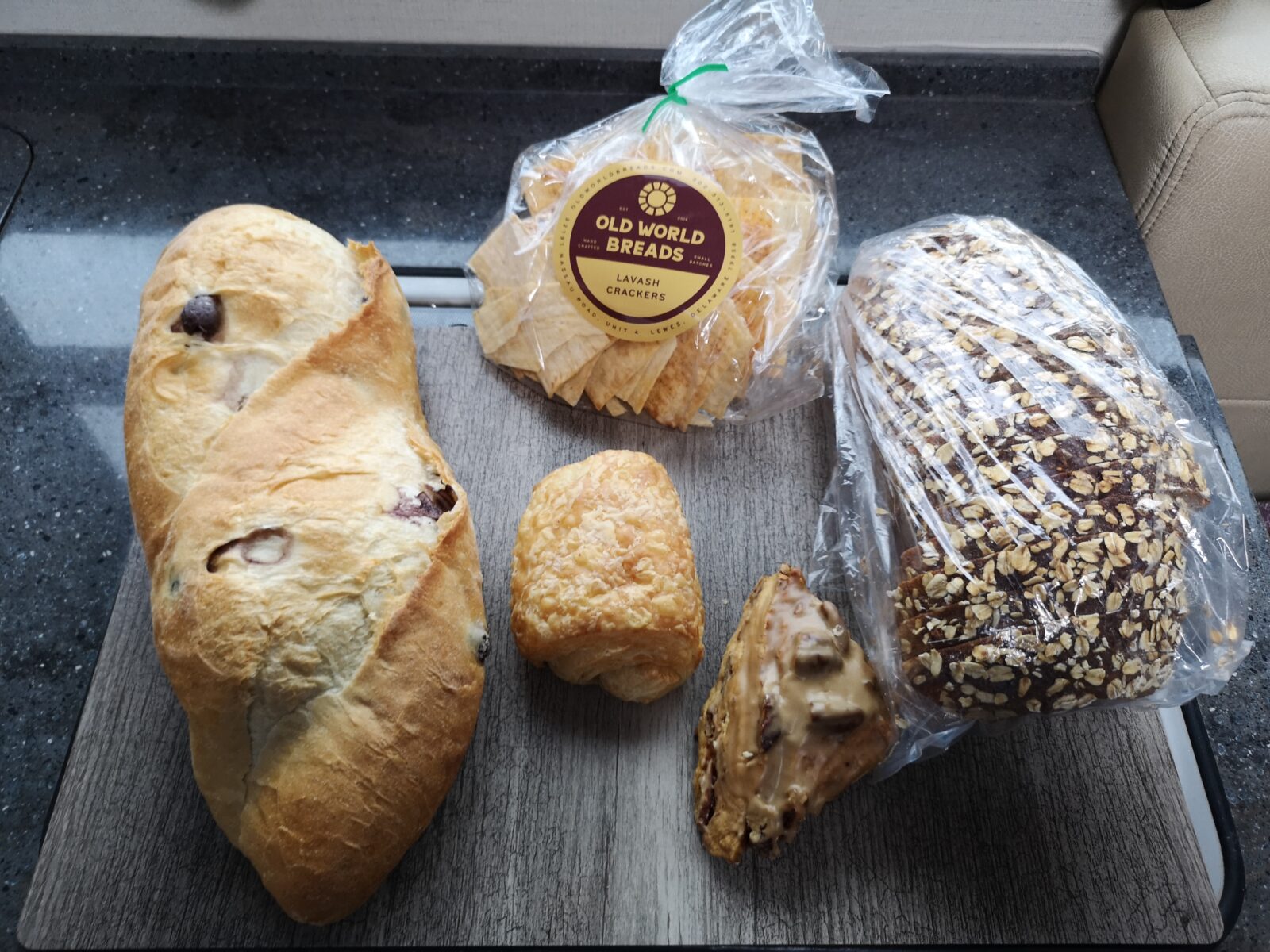
As we were leaving Cape Henlopen, our campground neighbor told us about Old World Breads, so we had to check it out. The bakery was incredibly small, but they had a constant lineup of people and many interesting products, including some delicious olive bread and hearty ancient grain bread. Cape Henlopen State Park was a phenomenal place to visit, with lots of history and activities.
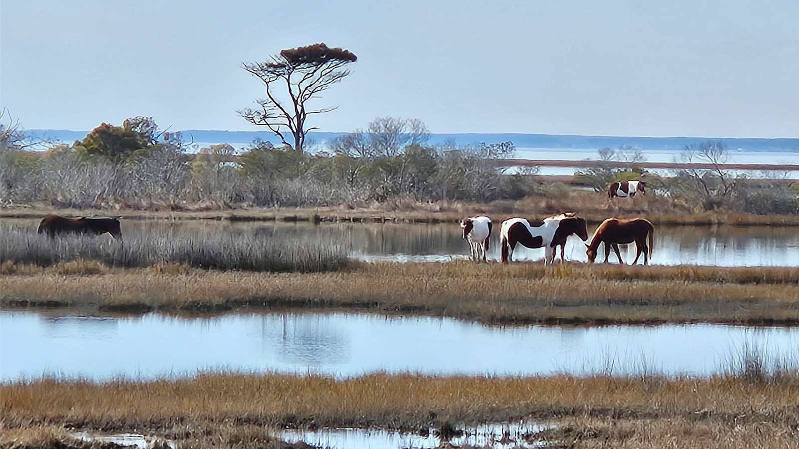
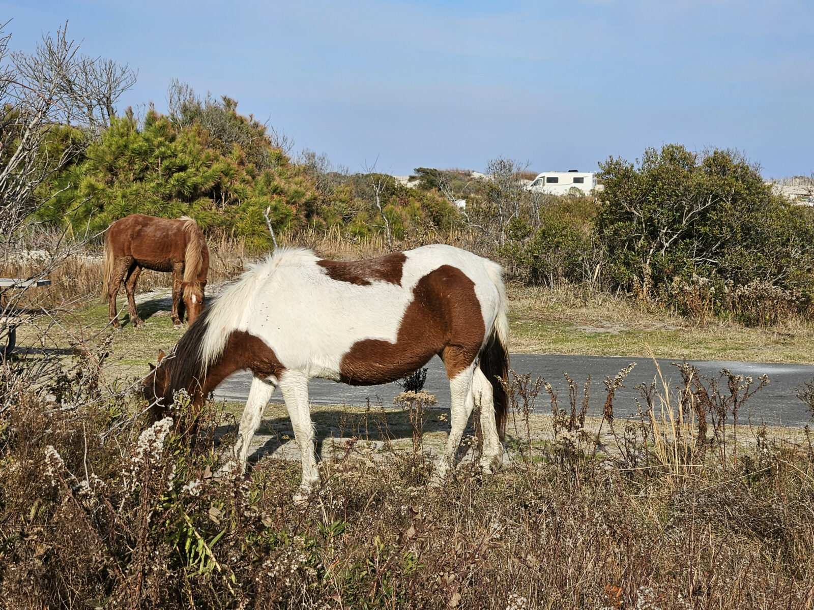
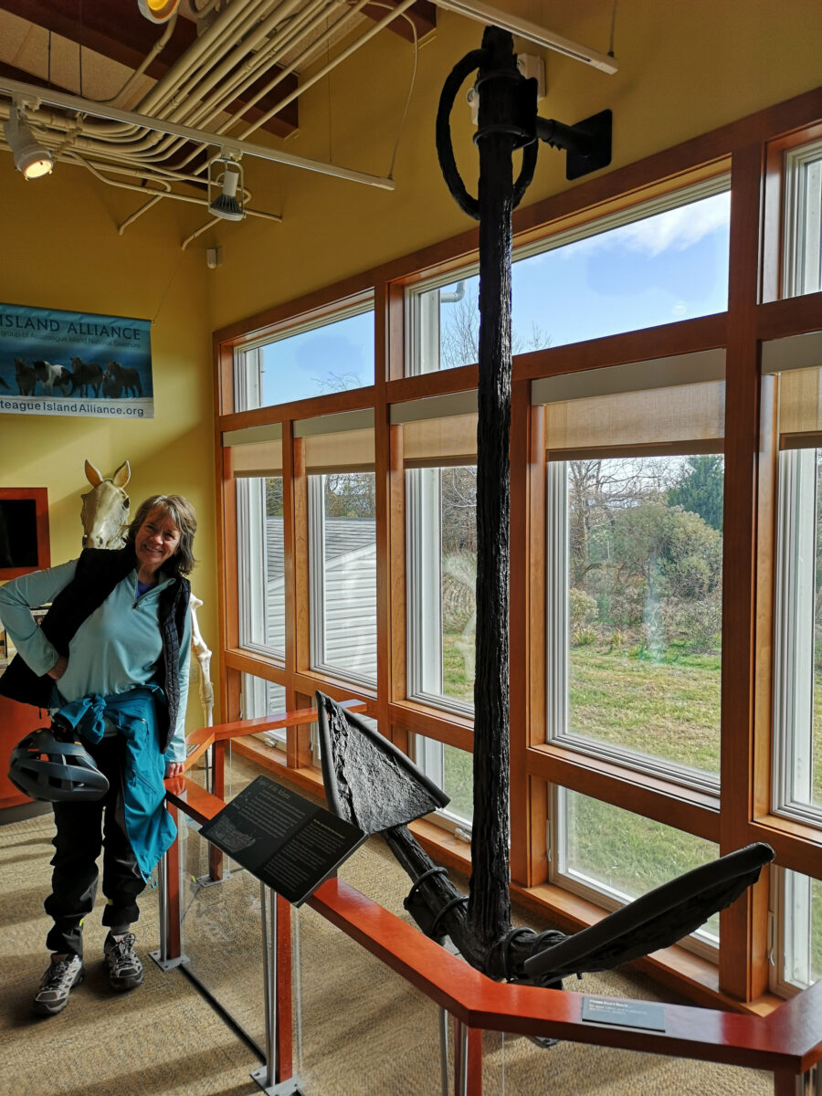
We headed south along Highway 1, entering Maryland, and eventually reached Assateague Island National Seashore. All the sites have no services, and when we arrived, they said we could drive around and check out Loop B on the ocean side and Loop C on the bay side. We decided Loop B would be best because it was close to the beach, so we selected site 35 and returned to the office to pay for three nights. While in this loop, there were only four other campers on various nights, so they were not busy. Assateague Island is known for the wild horses, and while checking out the campsites, we saw several horses.
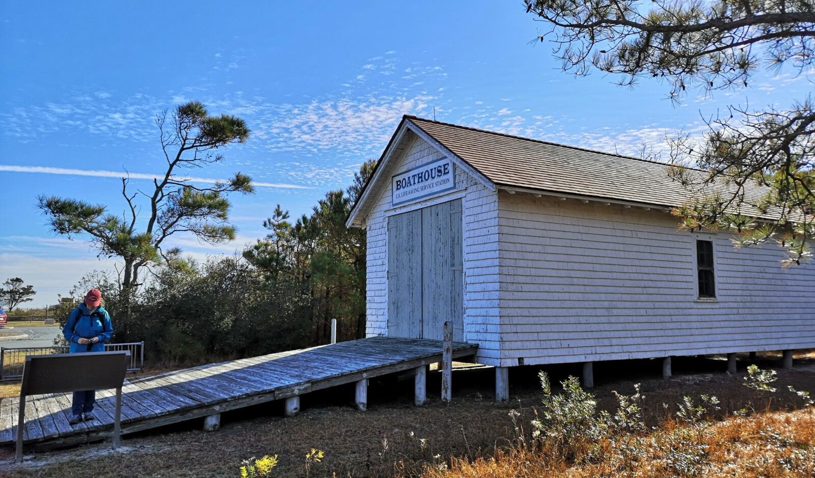
It was sunny for our first day in the park, so we walked all the trails (about 12 kilometers). On our way to the first trail, we saw the historic US Life Saving Station building. The surfmen who worked here would monitor any ships in distress and save the lives of shipwrecked mariners and passengers. They operated from 1875 until 1915, and with over 250 incidents, only two lives were lost. Eventually, this group became the US Coast Guard.
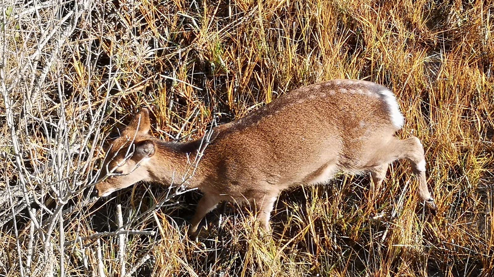
Our first trail was the Life of the Forest Trail, a boardwalk that went out through the loblolly forest into the marsh area. At the first lookout, we could see six wild horses in the distance. We were using a National Park Audio tour app to explain things along the trail. The audio talked about the Sika Deer, and we saw four right under the boardwalk to get great pictures of them.
Next was the Life of the Dunes Trail, where we saw an old asphalt road (24 kilometers long) built in the 1950s by a developer hoping to turn the area into the next tourist mecca. They had started to sell the 6000 lots but hadn’t started building, and then, an Ash Wednesday Storm in 1962 from a bad Nor’easter destroyed the road. This helped the group that wanted to protect the island eventually get traction, and then, in 1965, it became a National Seashore. After having driven through Ocean City, which is just a channel away from Assateague, we can say that it’s fantastic that they were able to preserve this wild place!
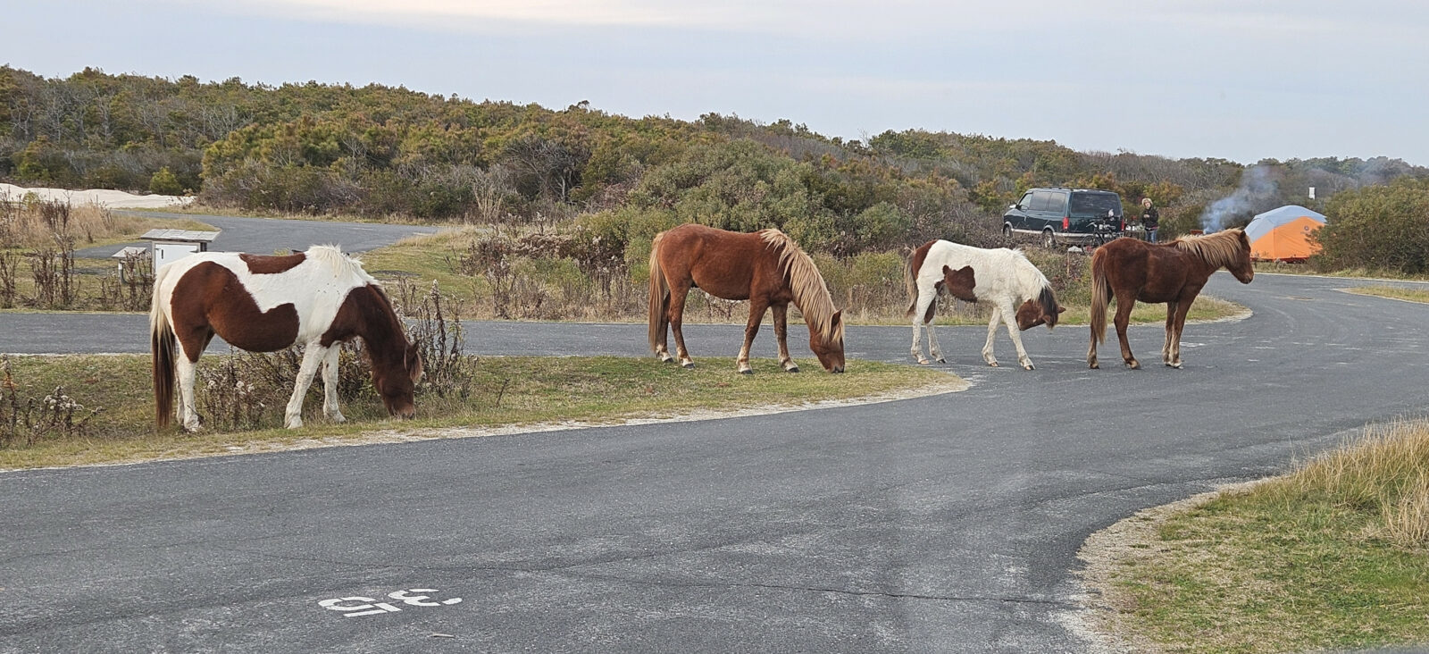
On our way back from the Life of Dunes Trail, we passed by the Loop B campground and saw several wild horses. We had to pass another one as we walked to the next trail. It was difficult to keep the 40-foot distance they recommended when walking through the park and along the roadways.
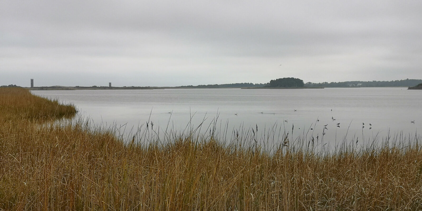
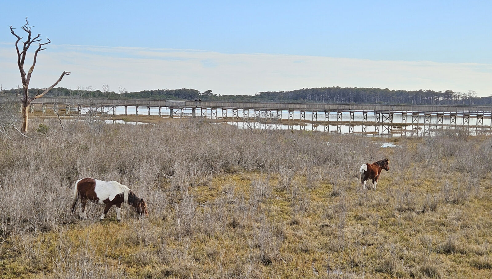
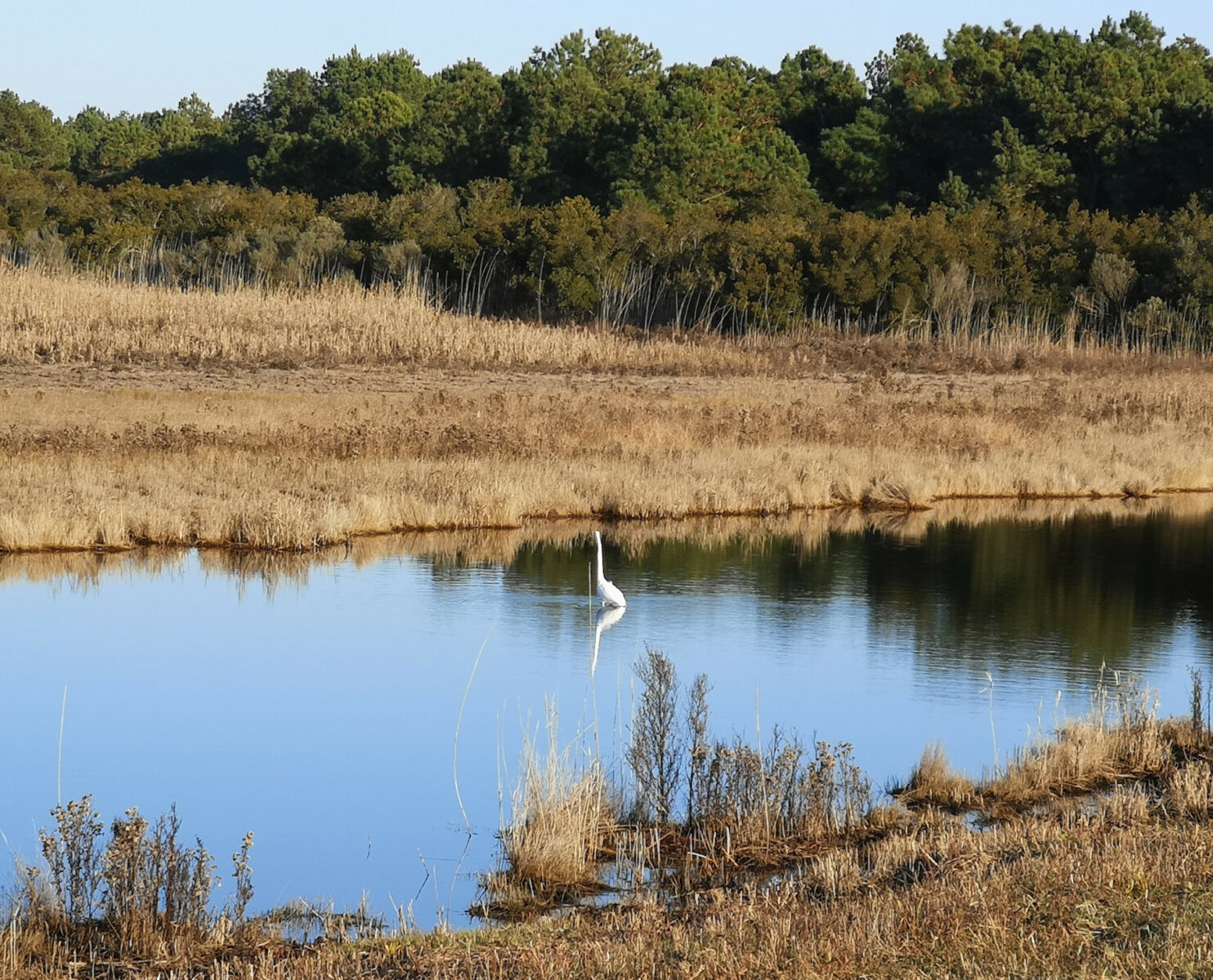
The last trail of the day was the Life of the Marsh Trail, an elevated boardwalk above the wetlands and mudflats showing the salt marsh and bay. A couple more horses were grazing in the marsh area below the boardwalk. The pungent smell of decay in the marsh was a sign of a healthy ecosystem, so the sign said. At the end of the boardwalk, you could walk down to the beach along the bay. As we completed the boardwalk loop, we learned about the channel cuts they had done in the early years to try to control the outflow of water to reduce the mosquitoes, but it backfired. The mosquitoes could prosper in the shallow areas where fish couldn’t reach them. Now, the park service is gradually filling the channels to make the water depth more uniform so the fish can eat the mosquito larvae.
We saw a few more wild horses as we returned to the campground. There are 82 wild horses in Assateague, and the National Park Service is controlling the herd size by giving shots to the horses to prevent too many births. The horses look fatter than typical horses because they must consume 50% more fresh water than a normal horse to counteract the excess salt they get from eating the salty marsh grasses.
When we returned to the campground, we saw firsthand why they warned you about keeping your food locked up as a large group of horses were wandering around the campground hoping for some dinner. A camper near us had her car door and hatch open and food on the table, and the horses could smell it. They came over and proceeded to eat everything she had out! Once they were full, she finally scared them off, but a bit too late.
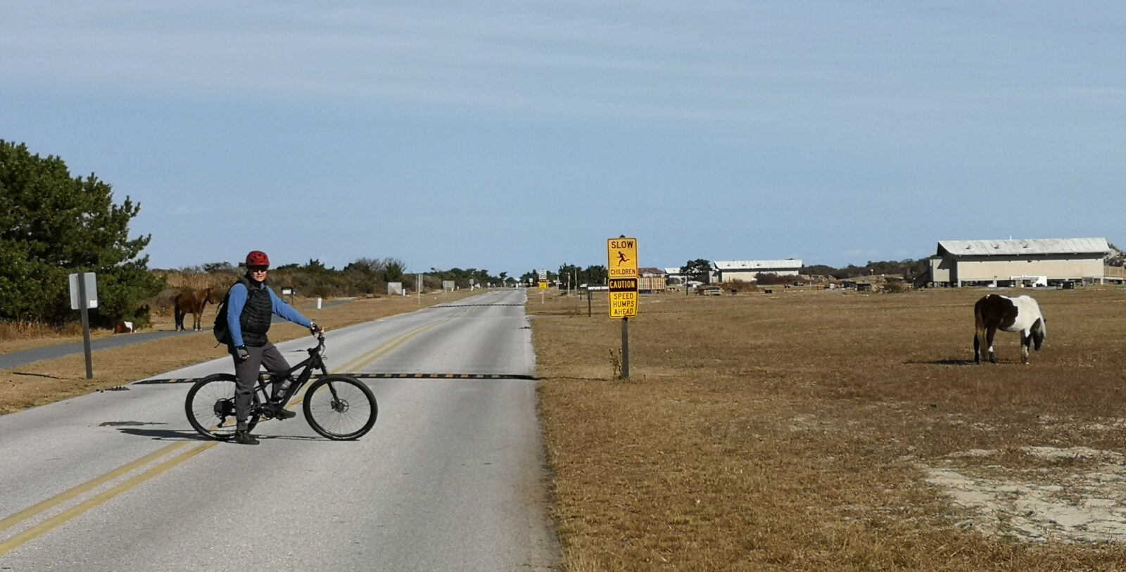
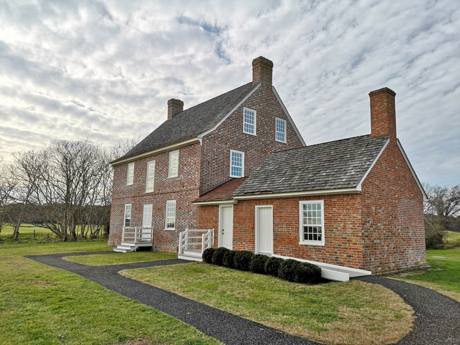
The next day, we decided to do a 17-kilometer bike ride on the Assateague Island bike path. We went through the massive Assateague Island State Park that was closed for the season and proceeded across Verrazano Bridge to check out the visitor center, where they had many display boards and two video presentations about the island. We walked over to see the outside of the Rackcliffe House. The house was built in the 1740s by Captain Charles Radclyffe on his 1700-acre plantation. Radclyffe ran a salt works on Assateague Island. Currently, the inside of the house is not open to the public.
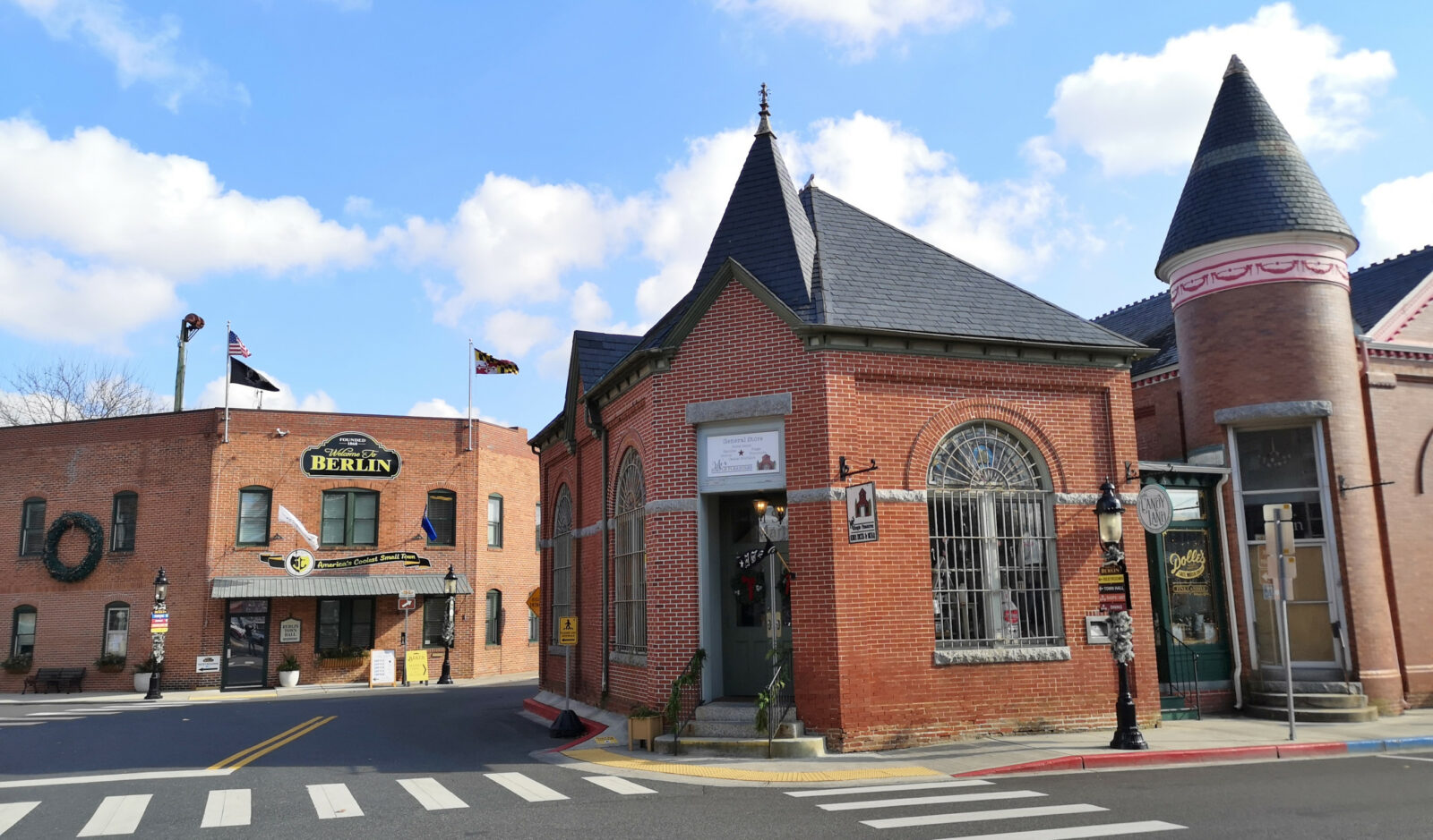
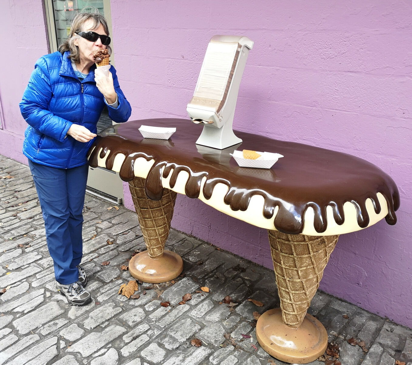
We needed to fill our propane tank when we left the island since our new ceramic heater had failed. We found a TSC shop in Berlin, so we got it filled there. We read that the downtown area of Berlin was quite historic (on the National Register Historic District), so we decided to check it out. We started with the visitor center, and the lady was incredibly friendly and helpful. She gave us recommendations for shops to visit, a pub for lunch, and where we could get the Best Ice Cream in the USA!
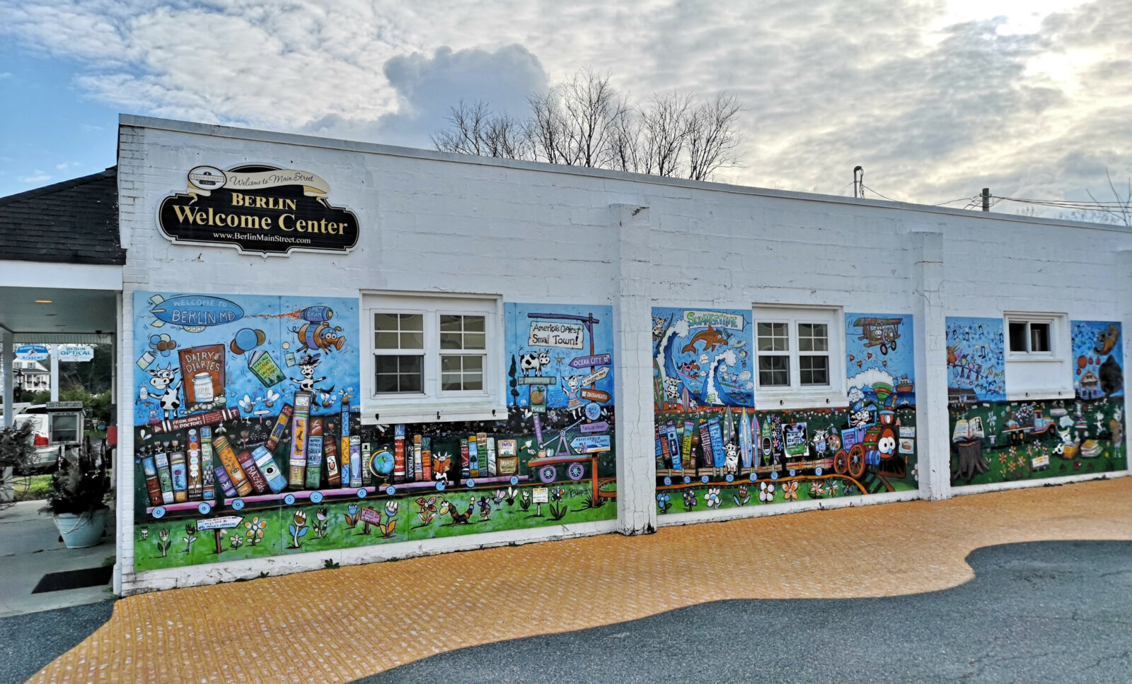
The movie Runaway Bride with Richard Gere and Julia Roberts was filmed in Berlin. We had a great lunch in The Sterling Tavern with some local beers, two types of chowder, a shrimp flatbread, and a scallop sandwich, all items that the waitress had recommended. After lunch, the ice cream shop was right across the street, so we went for dessert. The ice cream was fantastic, but boy, were we stuffed! On our way back through town, we stopped at the Atlantic Hotel, where Runaway Bride was filmed, to check out the first floor. Berlin was a great town to visit.
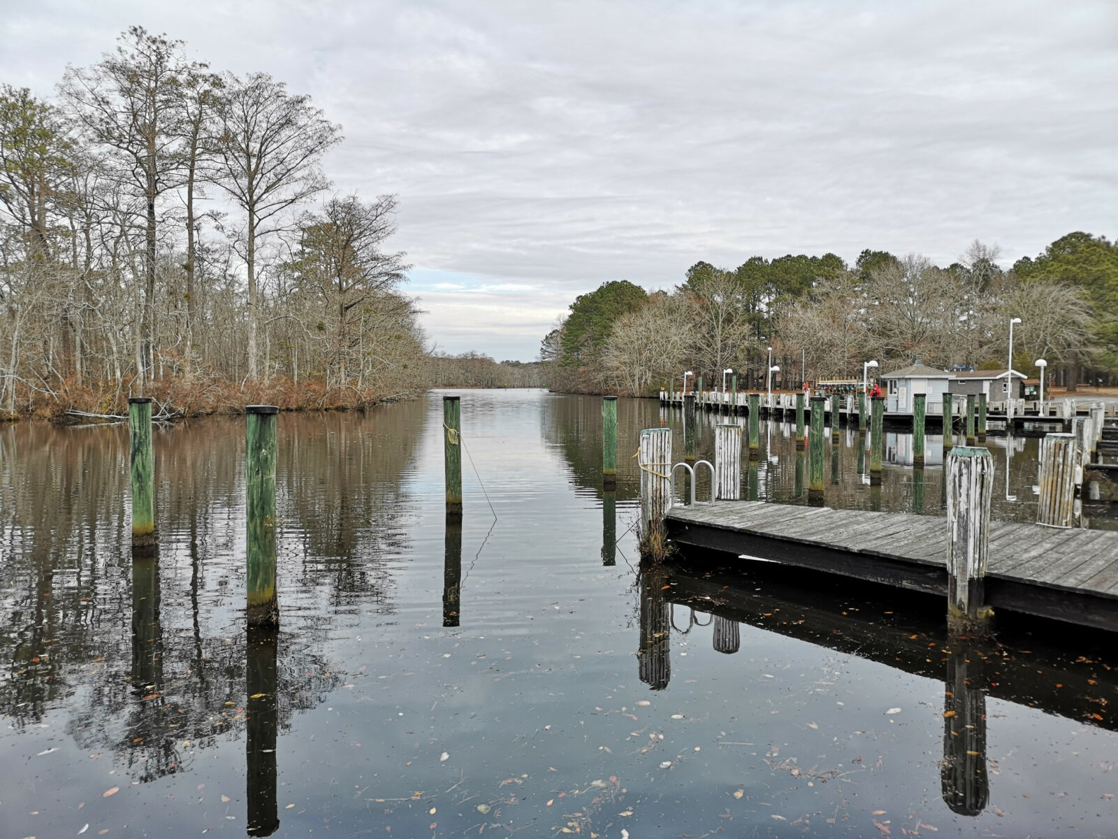
Our next stop was Pocomoke River State Park–Shad Landing campground, where we stayed for three nights. When we checked in, we discovered you can get a Maryland Lifetime Seniors camping card, which gets you half-price camping from Monday through Thursday. Originally, we wanted to ride the Mountain Bike Trails in the National Forest properties, but since it was deer hunting season, we opted to do a 7-kilometer hike inside the park (where the hunters aren’t allowed).
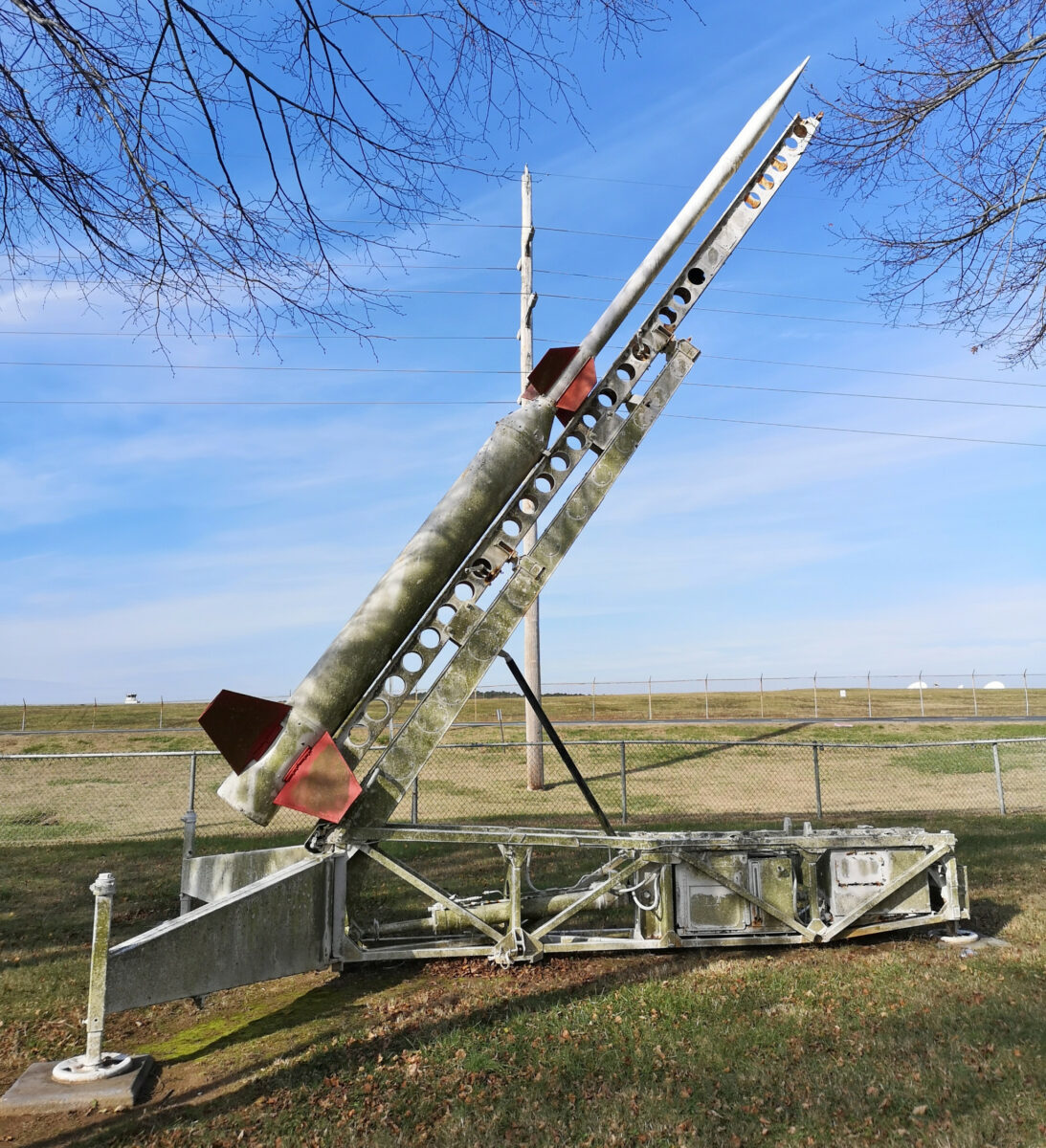
The next day, we drove south to the Chincoteague area in Virginia. Our first stop was the Wallops Flight Facility Visitor Centre. Wallops is NASA’s location for conducting research using aircraft, scientific balloons, and sounding rockets. Wallops has launched more than 15,000 rockets carrying scientific experiments since its establishment in 1945. We started off watching a 6-part video explaining how they launched two sounding rockets in the Australian Northern Territory to gather data on the stars Alpha Centauri A & B to understand how those stars can help make habitable planets. You can watch the six-part series at this link.
Here are some fun facts we learned at this NASA center:
- The Wallops Flight facility is one of the oldest launch ranges in the country.
- Wallops manages NASA’s suborbital vehicles program using sounding rockets, balloons, and aircraft for scientific research.
- 85% of today’s weather forecast model data comes from NASA’s Polar-orbiting satellites.
- Wallops is used as the practice location for Navy Field Carrier Landing Practice. This means that Navy pilots who need to train to land on Aircraft Carriers use E-2 Hawkeye planes to prepare for landing. The day we were there, they were taking off, circling, and landing, so it was interesting to watch from the rooftop deck.
- In the display area, we learned about the ISS Space Station, the Ladee spacecraft used to study the lunar surface, and the Ice-Sat2 satellite to measure land and sea ice changes.
- Lastly, we also saw a cool 3D holographic world in which you could display data. The photo I’ve included shows the 10 million Facebook connections worldwide.


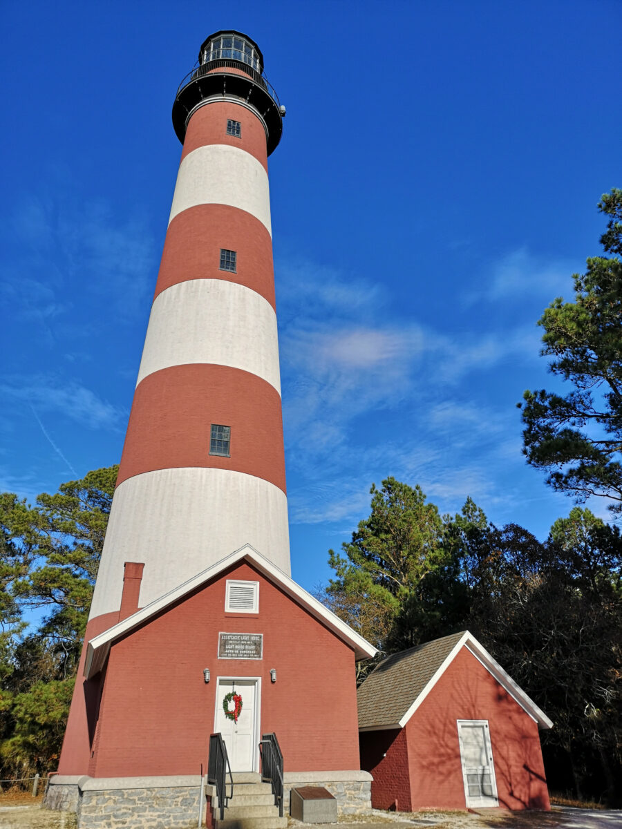
After Wallops, we headed across the causeway into the town of Chincoteague. We headed to Captain Zack’s for another seafood lunch, calamari, cod and chips, and a crab cake sandwich–everything was very good. We drove across another bridge to the south end of Assateague to visit the lighthouse and the Chincoteague National Wildlife Refuge Visitor Center. In the displays, we learned how they control the water levels to foster better habitats for the migratory birds, including the piping plover.
The refuge opened the driving loop to vehicles at 3:00 pm, so we drove around but didn’t see much. We continued to the NPS Visitor Center and then to look at the beach area before heading back to see the Chincoteague horses from a distance. These are not wild like the Assateague horses we saw earlier. The volunteer fire department owns these and has a grazing permit on the national parkland. Every year, they swim the colts across the bay to an auction to raise money for the fire department. There is an old children’s book about Misty from Chincoteague. Have you read the book?
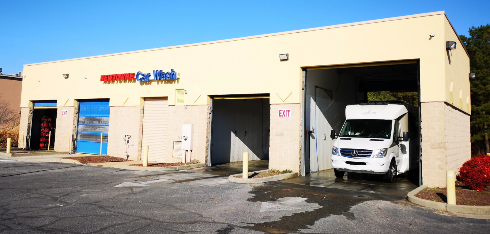
The next day, we needed to stop for some groceries in Pocomoke City, and conveniently, they had a car wash with a tall bay right across the street, so we took the opportunity to bath Plankton and wash off the salt from the northern roads and the salt spray from the coastal areas.
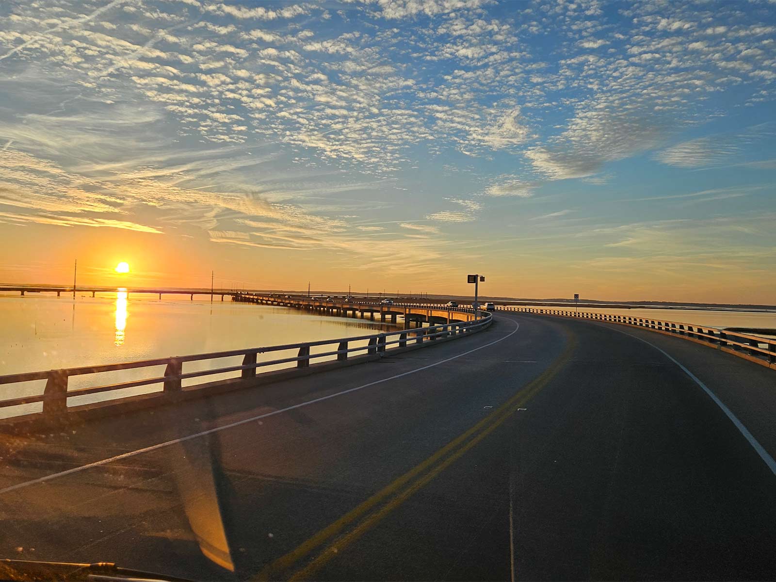
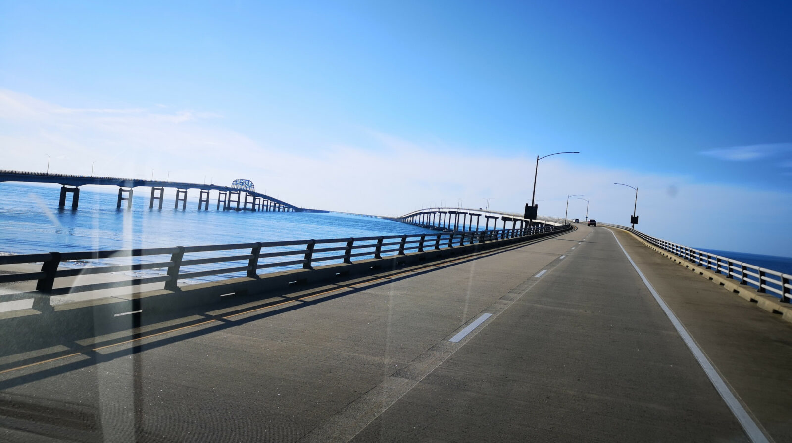
We continued the drive south until we reached the Chesapeake Bay Bridge, a 28-kilometer-long journey including two tunnels in areas to allow big freighters to get into the Chesapeake Bay. When we exited the bridge, we headed from Virginia into North Carolina.
We would recommend Delmarva as an interesting coastline to visit. You’ll have the opportunity to learn some history, see wild animals, and explore nature along the beaches and salt marshes.
Comments