Editor’s Note: This post is written by a member of LTV’s sponsored content team, The Leisure Explorers. Do you own a Leisure Travel Van and enjoy writing? Learn more about joining the team.
Heading North, Then South, Then West
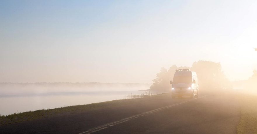
The best plans are flexible enough to change on a dime, and when they do change, often, there’s an unexpected positive result down that new path. If you’ve been following our journey heading west from Michigan instead of going to Florida in 2022, you already know some of the changes we’ve made due to the weather. Our third week on the road was no different.
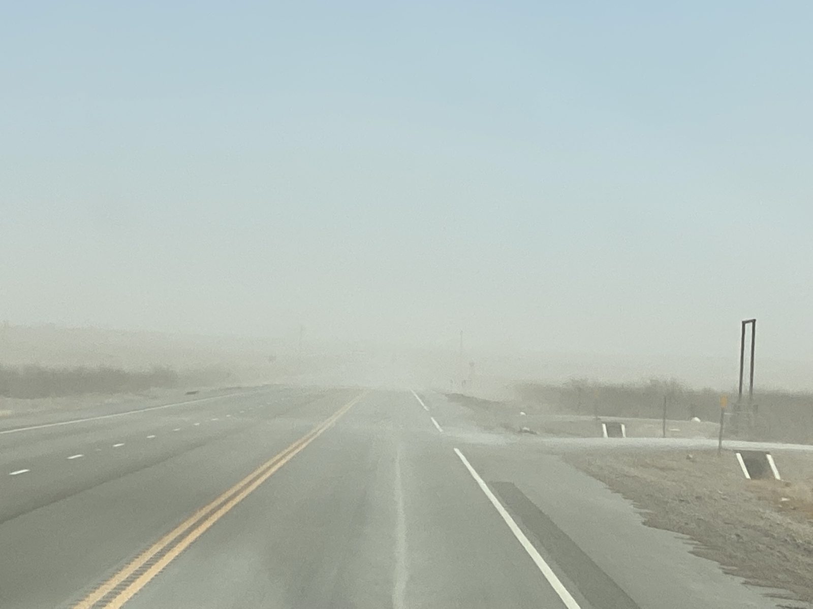
As we rolled through a continuously desert-like landscape of west Texas, we brought the high winds whipping up dust devils and freezing or nearly so overnight temperatures with us that we’d been dealing with since leaving New Orleans. We would see a lot more in the weeks ahead before reaching California.
We were still holding out hope to get to White Sands National Park, but with hurricane-strength winds predicted, we gave up and went to our sandbagged alternative. We pointed our 2015.5 Unity Murphy Bed ‘Lucky Us’ south from Whites City and Carlsbad Caverns to Big Bend National Park on the Mexico-U.S. border. If you look at a map, we’ve gone north from San Antonio to Fredericksburg, then White’s City, and now, we’re heading south back into Texas.
We were too late to book a campsite in the park, so we took the next best thing, a private campground in Marathon, close enough for day trips, which had its own great treat in store.
After an interesting phone GPS-directed “shortcut” attempt on Route 720 to Malaga that kept narrowing almost to nearly a two-track, then descending into a creek ford (don’t take it; repeat, do not take it), we turned around and backtracked to the town of Carlsbad and headed, sans creek crossing, towards Marathon.
Marathon
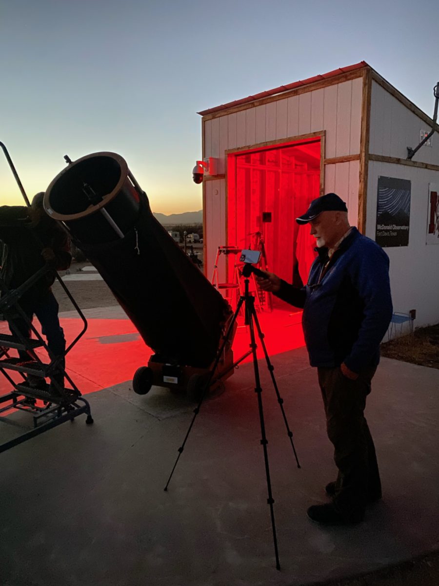
It’s a motel. It’s an RV Park, and Marathon Motel & RV Park is also a dark sky park (bonus!!), something we didn’t know when we booked. The sky here is inky, and when weather permits, campers can line up to peek into a couple of large amateur telescopes for some free star and planet viewing. The motel’s southwest motif was also cute, and local restaurants were nearby.
The following day, we drove through nearly 40 miles (64 kilometers) of the Chihuahuan Desert to the park and turned right towards the destination most who come here want to see: Santa Elena Canyon. But first, a few stops you may want to make.
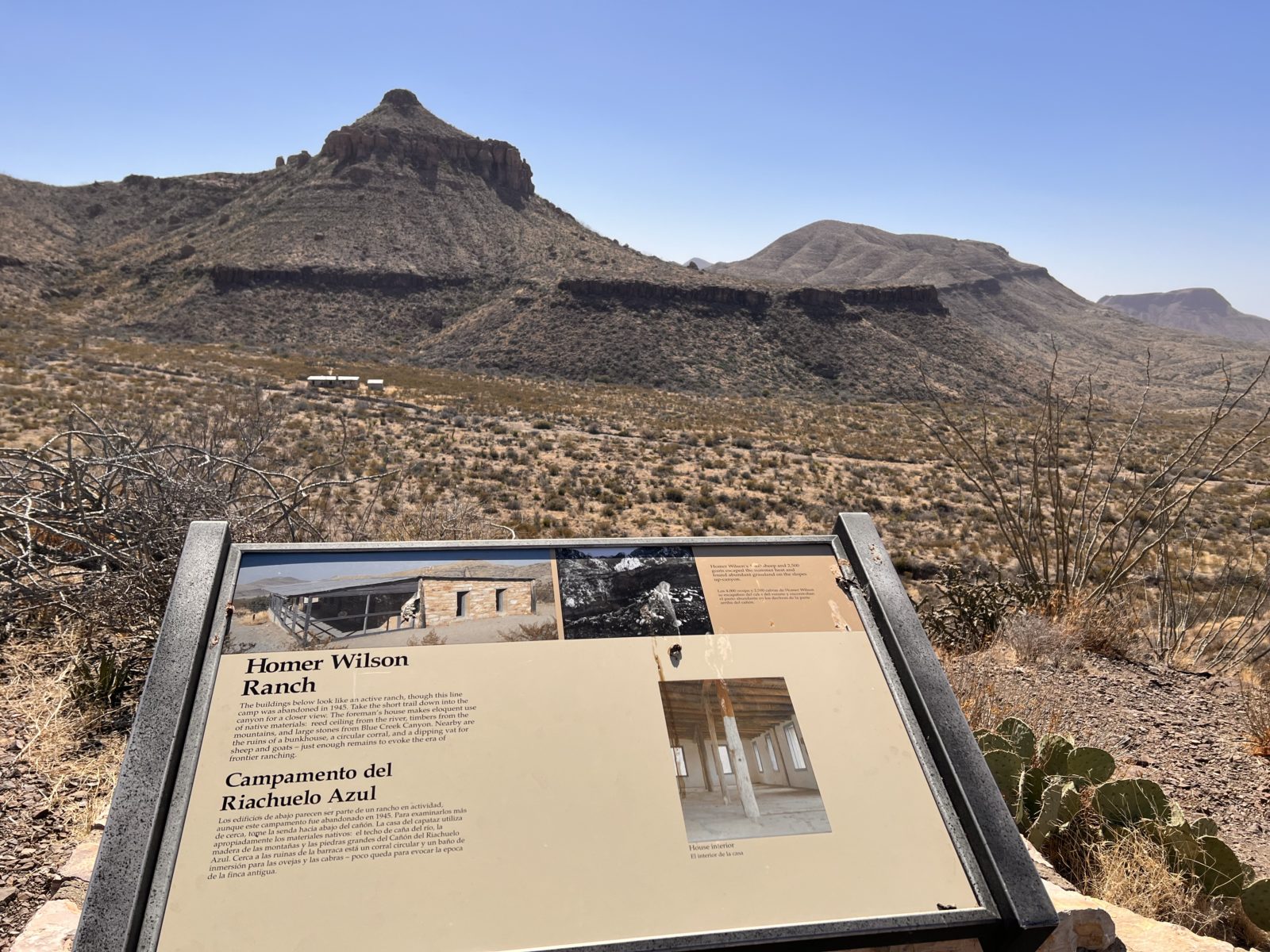
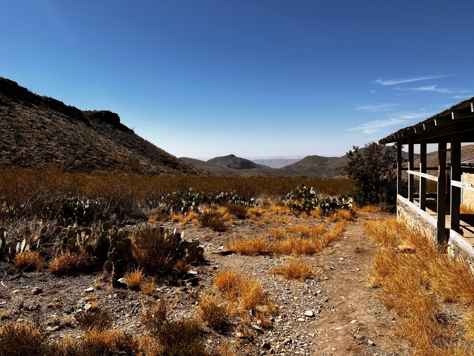
We turned off the main park road and took the 22-mile Ross Maxwell Scenic Drive that in part runs along the Rio Grande, past the arid-looking Cottonwood Campground. The drive includes a relatively easy one-mile hike to the early 20th-century Homer Wilson Ranch site, about as desolate a place for a ranch as you can imagine, which is why it’s nothing but a skeleton of a house and corral. But no matter what, bring water, plenty of water.
A scenic turnout will lead to some cute photos at the Mule Ears, a half-mile off the scenic drive.
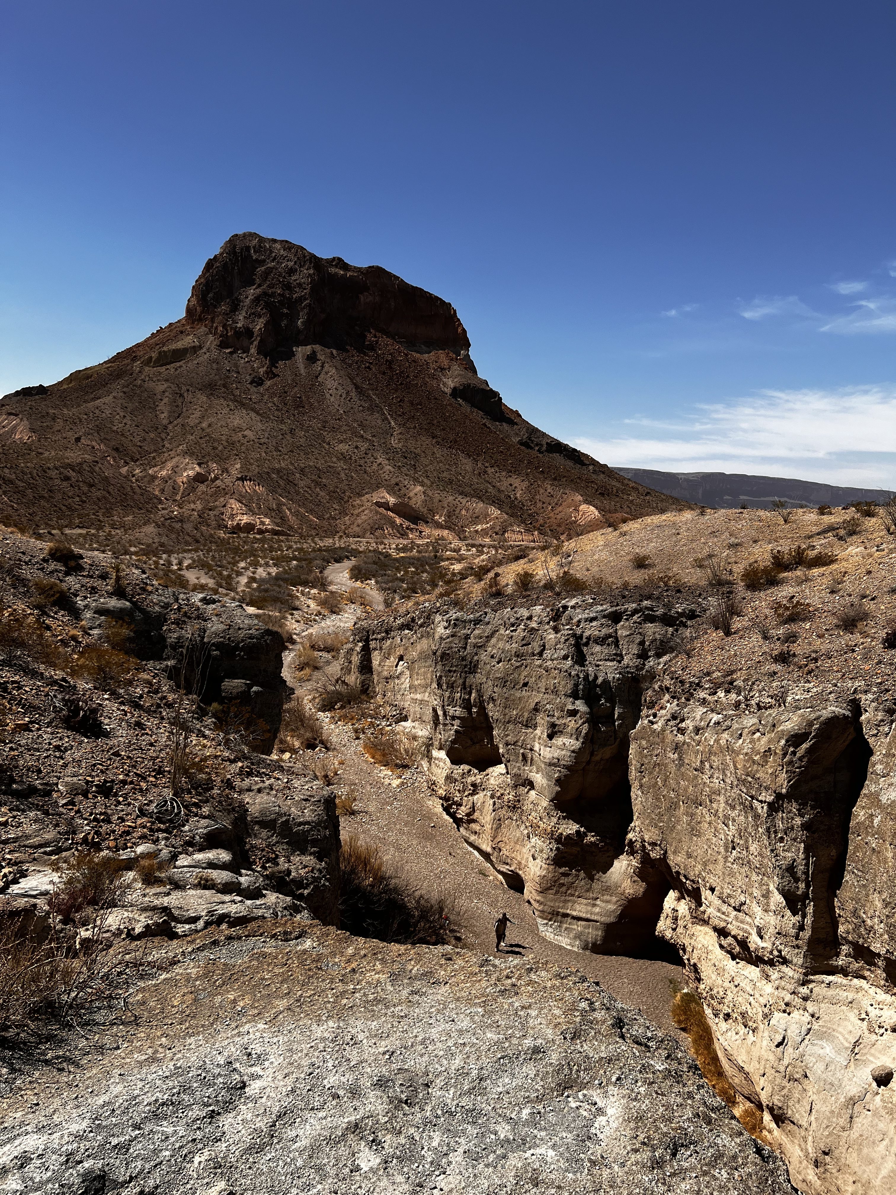
We also stopped to view Tuff Canyon—it’s not tough, but made of tuff, compacted volcanic ash—from above as others walked the wash. Watch out in the May-September rainy season, when it often flows with water, including flash floods.
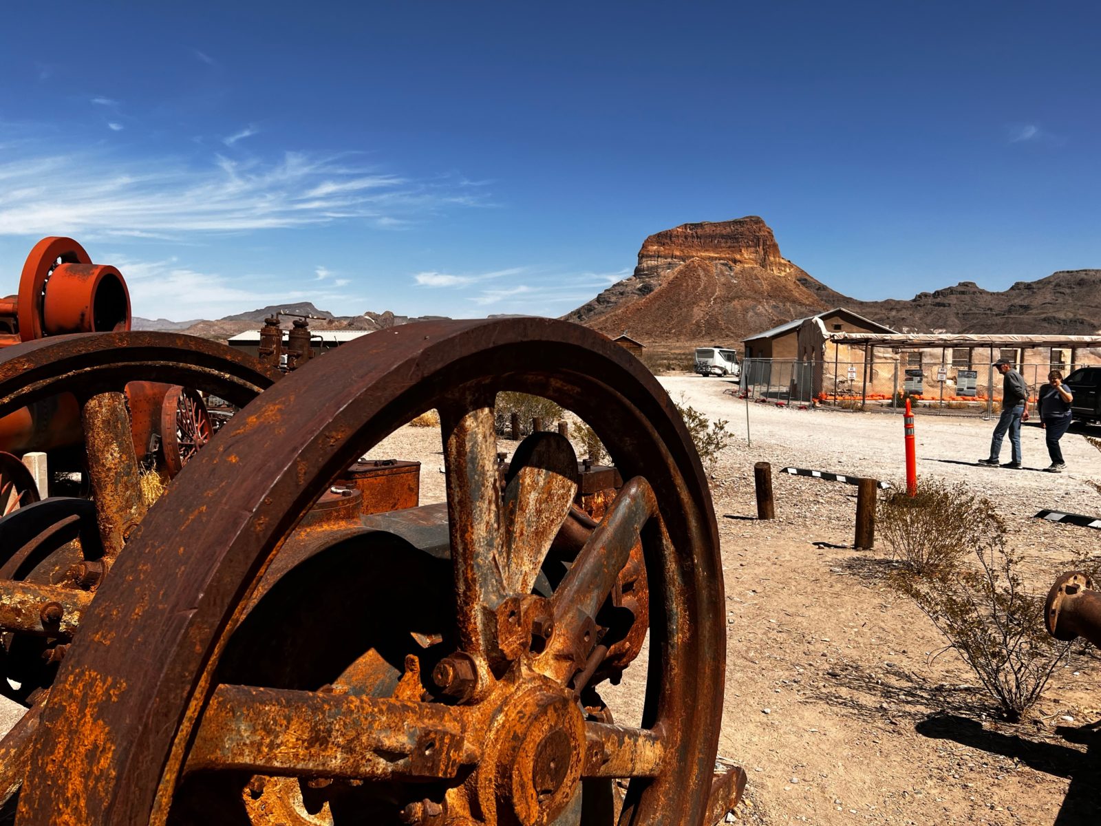
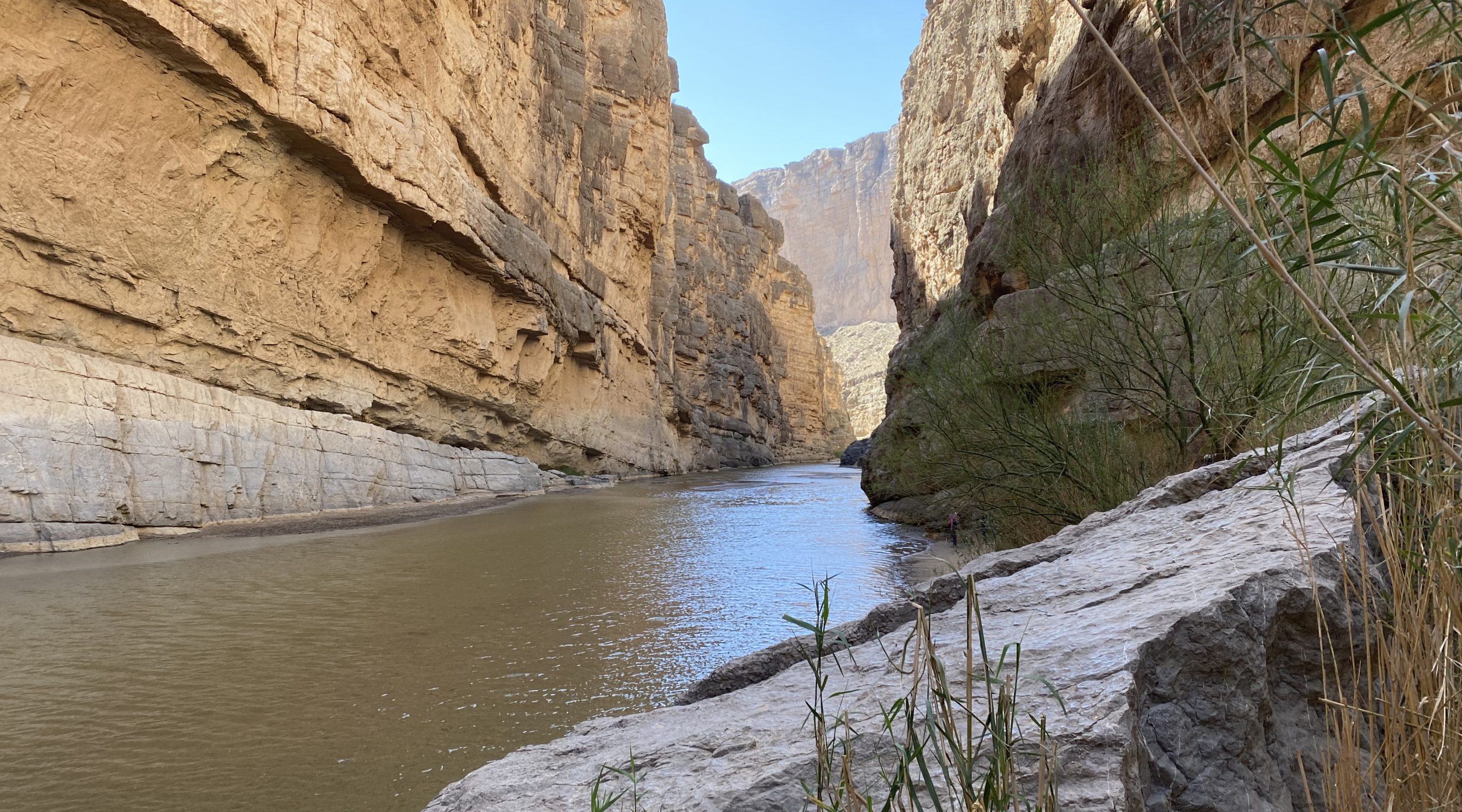
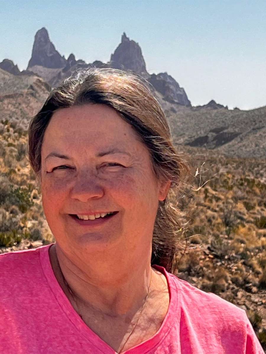
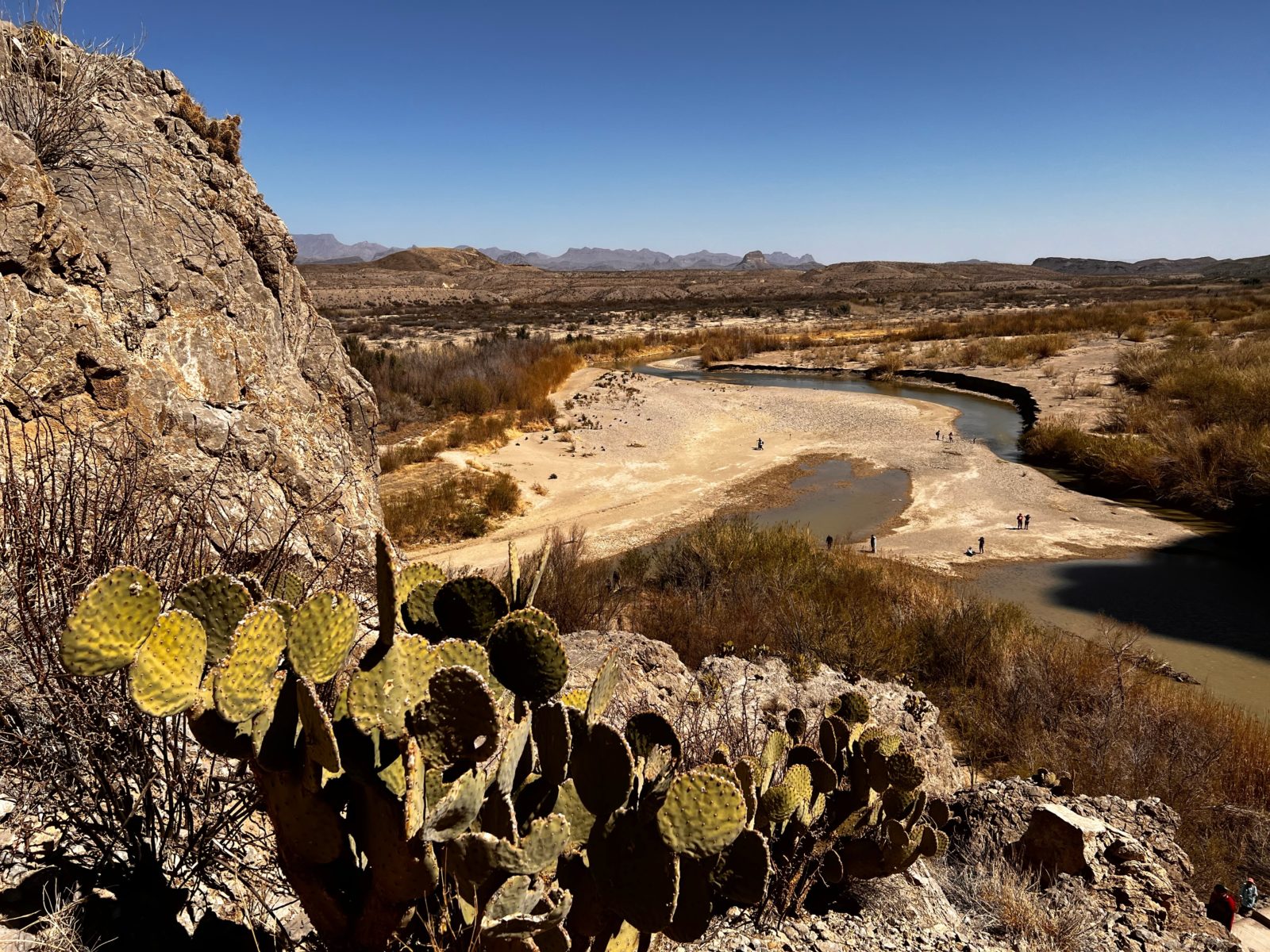
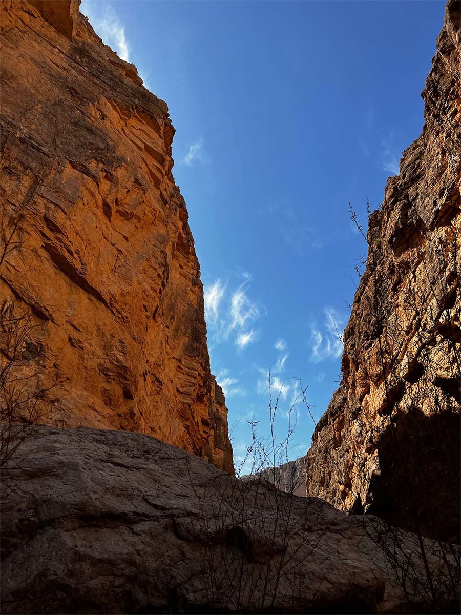
The near-ghost town of Terlingua–there is lodging there–a former mercury mining community, hosts a famous chili cook-off each November. Then we arrived at the spot most visitors come to see, the imposing site of the Rio Grande emerging from the walls of Santa Elena Canyon.
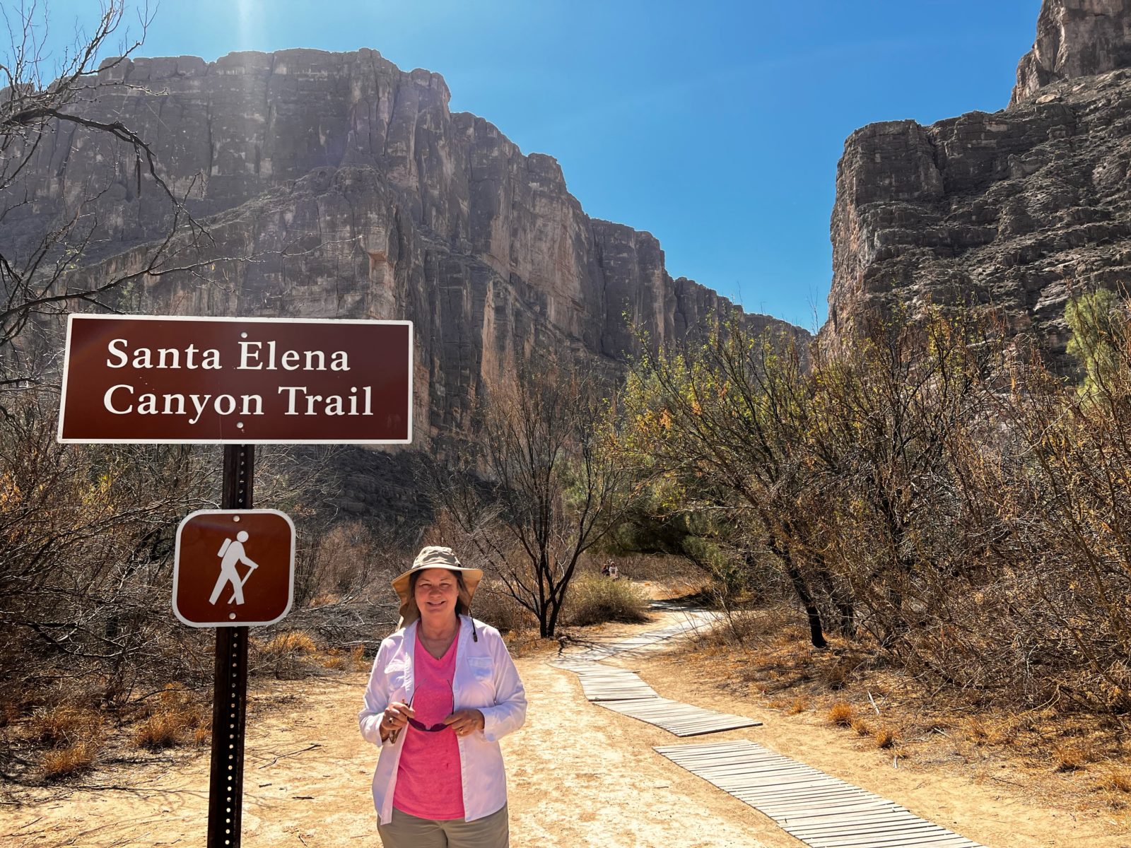
The limestone formed when this was a sea bed rises straight up 1,500 feet, cut through over millions of years by the Rio Grande. Don’t judge the river’s size here in March by what it can do in the rainy season. There can be class IV rapids upstream. The river was barely moving on our visit. Families waded across to Mexico to say they did.
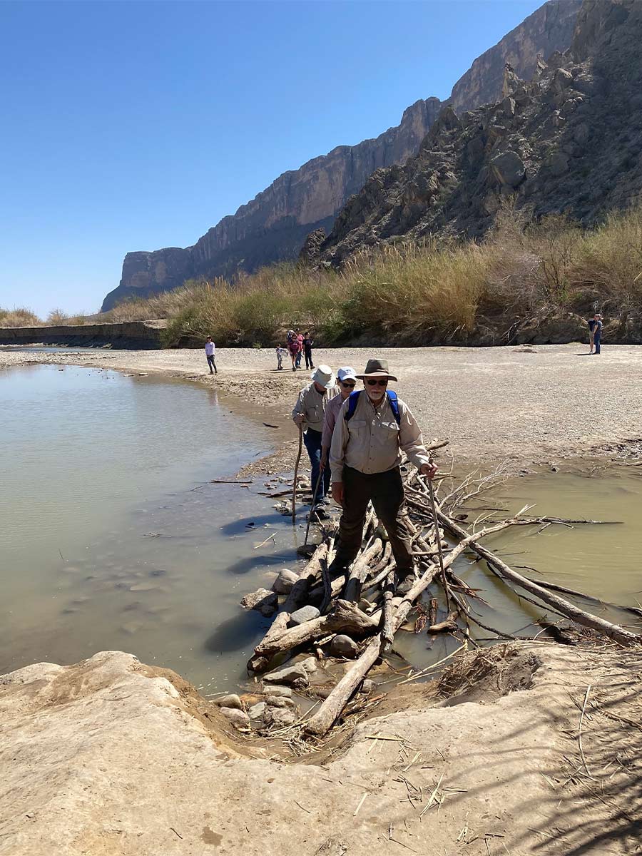
We crossed Terlingua Creek flowing into the river on a shaky “bridge” of sticks and walked the 1.7-mile trail into the canyon, where the cliffs are the most dramatic unless you are game to kayak upstream. You can also put in 17 miles upstream at Lajitas. That’s the trip that could get “interesting” when those rapids, labyrinths of boulders, and such may come into play.

We headed back to Marathon, briefly stopping at the Border Patrol checkpoint, where officers waved us through, not even wanting to peek inside an RV driven by Denise. We arrived at the campground, set up for the evening, and bundled up for another night of viewing the heavens in the dark sky area, including being able to see Galaxy M33 with the naked eye. It’s more than two million light-years away.
The next morning, we shook off the ice on our folding chairs and headed deeper into the southwest, successfully turning a weather-related detour into a beautiful experience. But this leg wasn’t over.
Marfa
On the way, we went through quirky Marfa, a population of about 2,000. How quirky? The local newspaper doubles as a bar and restaurant.
Marfa also rightly has an artsy reputation and was the location for several movies, including the James Dean/Elizabeth Taylor/Rock Hudson 50s blockbuster Giant, that’s featured in a billboard mural along Highway 90. More recently, No Country For Old Men and There Will Be Blood also were shot there. The town also somehow became a spot to purchase purses and leather goods, but not at the “Prada store.” As a pop art comment on commercialism, it doesn’t sell anything.
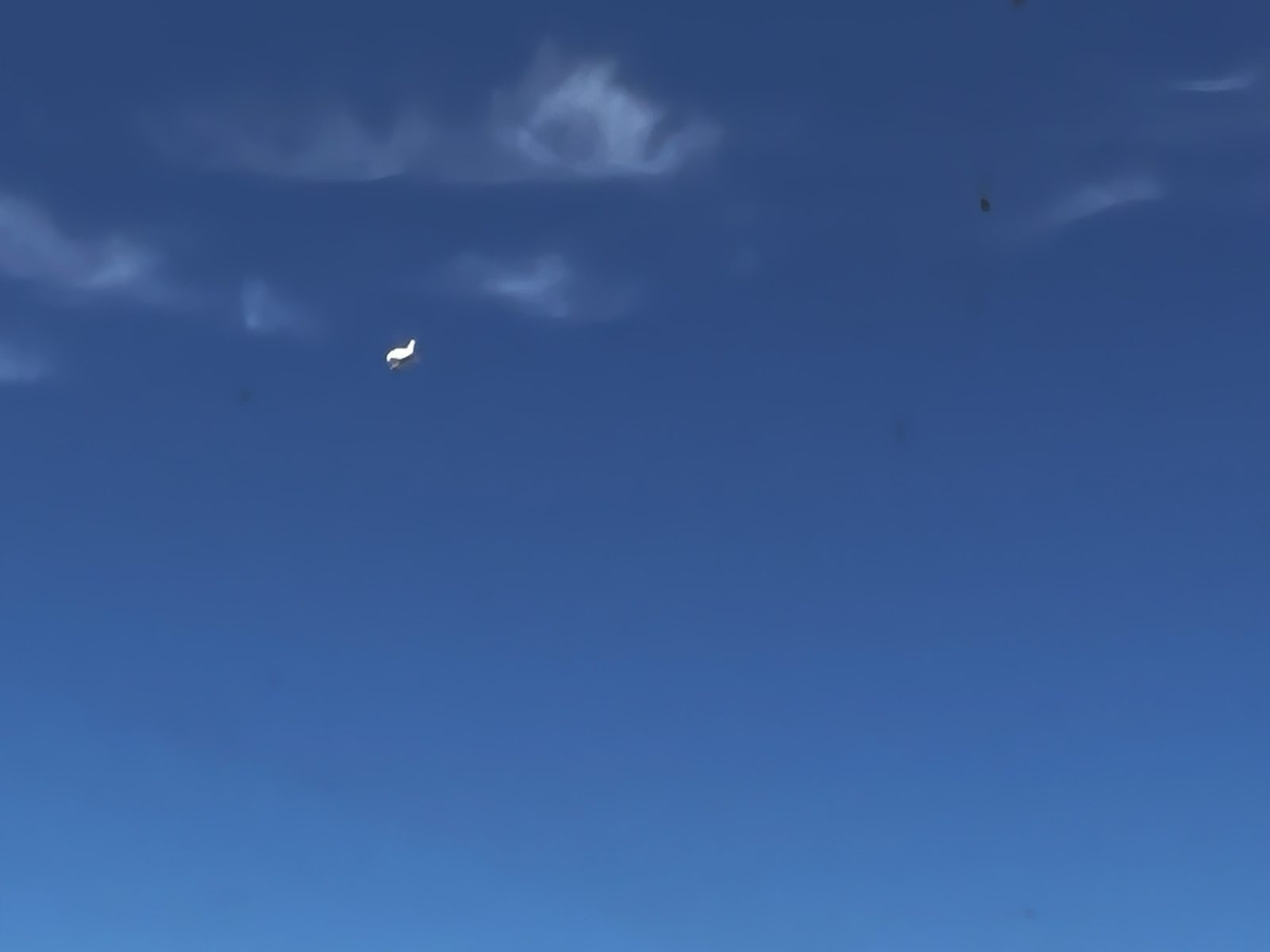
The rumored Marfa lights and viewing area didn’t appear when we passed at mid-day, but we did see an IFO (identified flying object), a white blimp used by the border patrol to keep eyes on the ground since we were only 40 miles from the border.
When You Go
Bring plenty of water anywhere you hike here. This is a dry, dry country, and perspiration dries immediately. The National Park Service recommends one liter of water per person for each hour of hiking. As of this writing, at least two hikers have died in the park this year alone. Be mindful of those overnight temps as well. The desert may be hot, but it can drop near or below freezing at night.
As with any National Park stay, plan ahead if you want to stay in the park proper. Cottonwood Canyon campground has water. There also is camping at Big Bend State Park. Tuff Canyon Trail was temporarily closed due to a rock slide in the spring of 2023. Be sure to check the park’s website for updates.
Comments