Part IV of this series found us arriving at our destination of Vancouver Island, after adventuring through The Crown of the Continent to Calgary’s Bow River and through the Canadian Rockies. Now it was time for the next chapter of our nine-week adventure, where each mile we traveled brought incomparable coastal views, imposing redwood giants, a minor disappointment, Lewis and Clark history, more great off-the-boat seafood, and finally catching and releasing 20-pound chinook salmon on one of California’s most famous fishing rivers! We hope you have as much fun reading about it as we did experience this great leg of our trip!
Setting Sail for Washington State
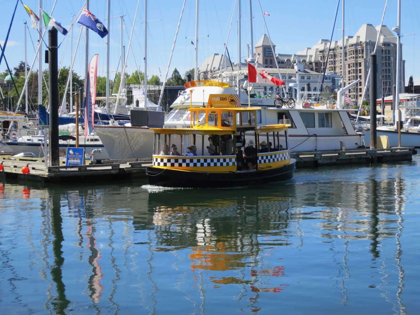
We boarded the MS Coho on the Black Ball Ferry Line to cross the Salish Sea from Vancouver Island, British Columbia to Port Angeles, Washington. We left beautiful Victoria’s water taxis, food, and sights behind, sailing through the city’s compact harbor where it was all happening, including an upcoming symphony performance on the water. The Cascades of Washington State, and the remaining legs of our trip, were calling.
After parking Lucky Us, our 2015.5 Unity MB, in the belly of the Coho, we headed onto the deck to watch the ship push off, and within a half-hour or so, the peaks of the Cascades and Olympic National Park filled the horizon through the omnipresent coastal fog.
After disembarking (and clearing customs) at Port Angeles, we set off (minus one unlabeled green pepper) for Olympic National Park. We passed mile upon mile of beautiful scenery, traveling through the forest and past lakes and salmon streams are strewn with moss-covered boulders. We passed by some great looking campgrounds because we had made reservations at what sounded like a great park at Sol Duc Hot Springs RV & Campground.
Unfortunately, this turned out to be a disappointment.
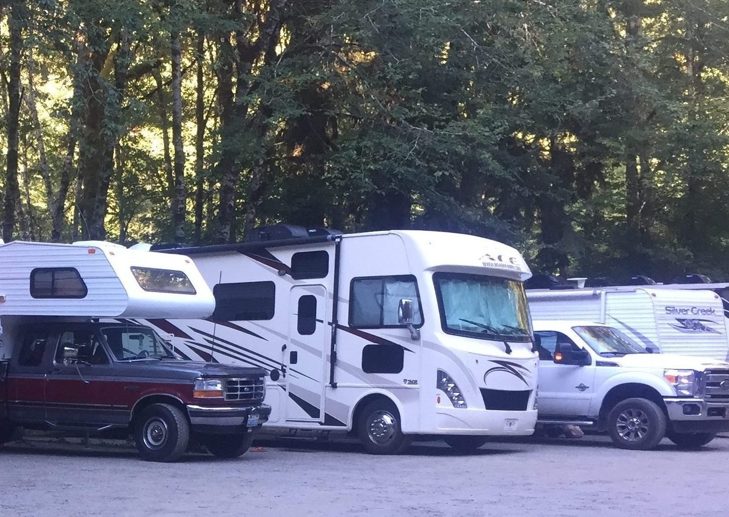
This was about our only true “wish we’d never stayed here” experience of the entire trip. We drove up thinking we’d be in one of the quiet, shaded campsites we’d driven past. Instead, we found ourselves in the “RV Park,” with RVs lined up about as close as we’ve ever seen and the bathroom several minutes walk down the road. It was more like a parking lot with power posts than a campground. We agreed to spend just one night here and to leave early the next morning, unfortunately without hiking to the waterfall, and we soon learned that our neighbors felt the same. The campsites with no power that we drove past looked great and like what you would expect from a national forest campground, and had a closer bathroom. Make sure you know the difference before booking.
Exploring the Pacific Northwest Coastline
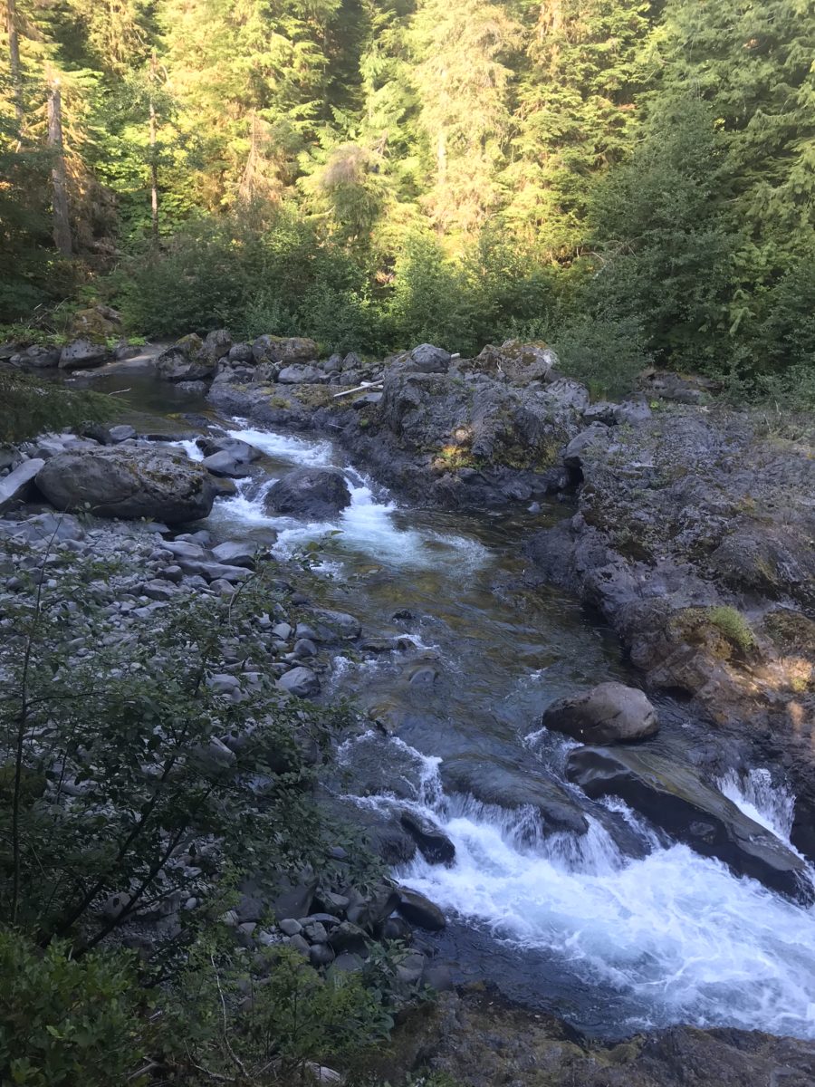
That early departure actually proved a good choice; coming out of the RV Park, we enjoyed beautiful morning views as we skirted the winding Sol Duc River, a rocky salmon stream winding its way to the Pacific. From here we headed to our next stop, Mora Campground near Rialto Beach.
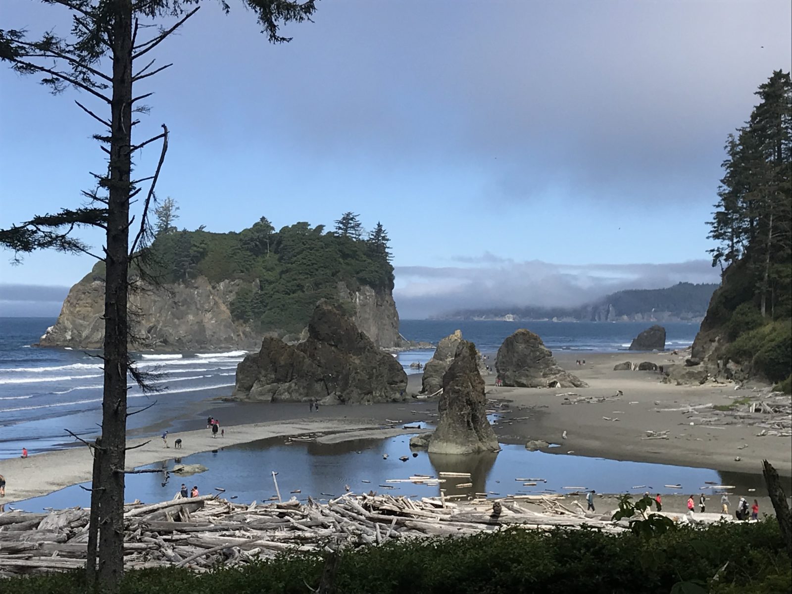
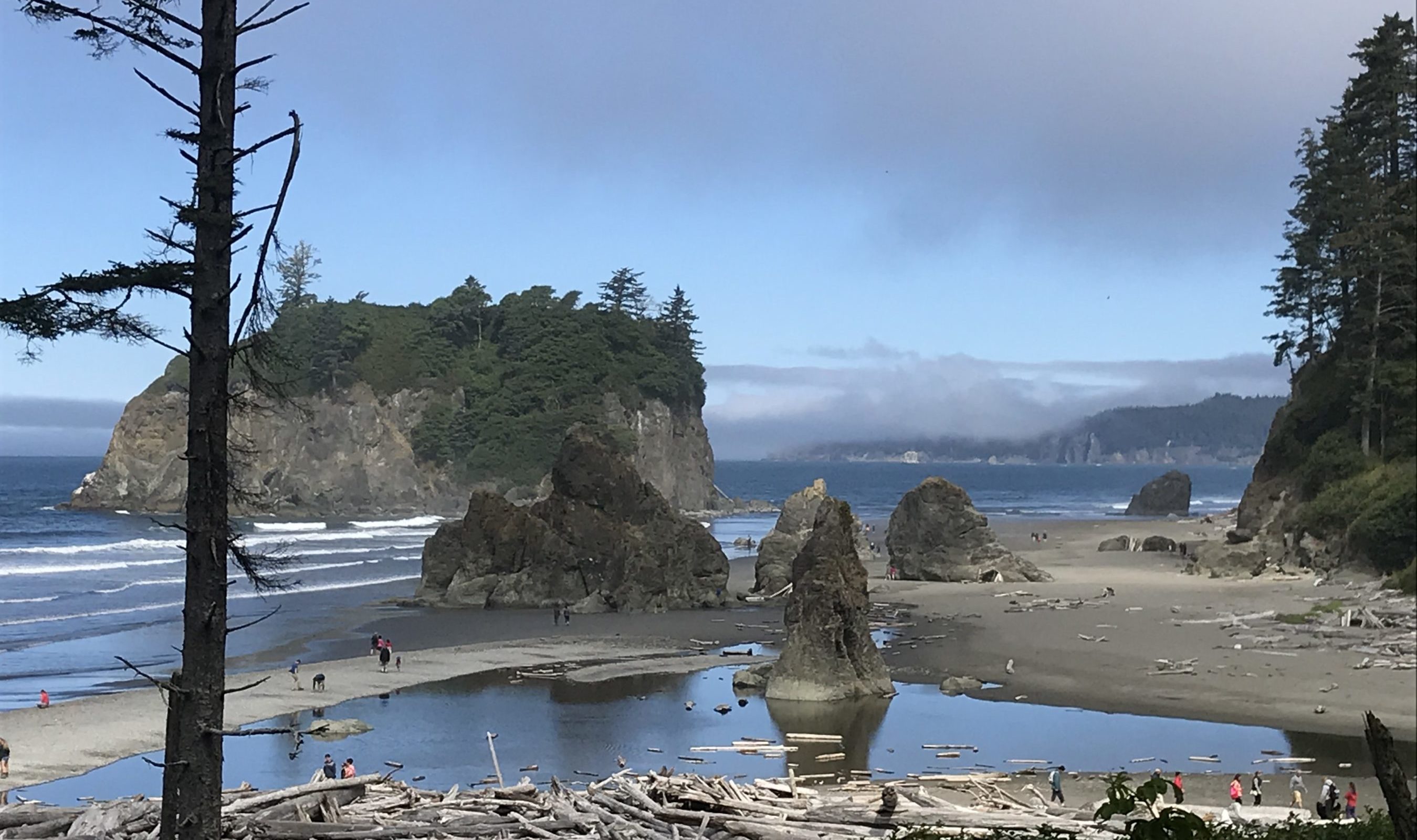
Backtracking the next day, we took Highway 110 into the Quileute Indian Reservation, once again rubbing shoulders with the timber-strewn beaches that are common along the coast here, as trees litter the beach from storms. Before rejoining Highway 101, we made a lunch stop at Kalaloch Lodge and an oceanfront overnight at Pacific Beach State Park.
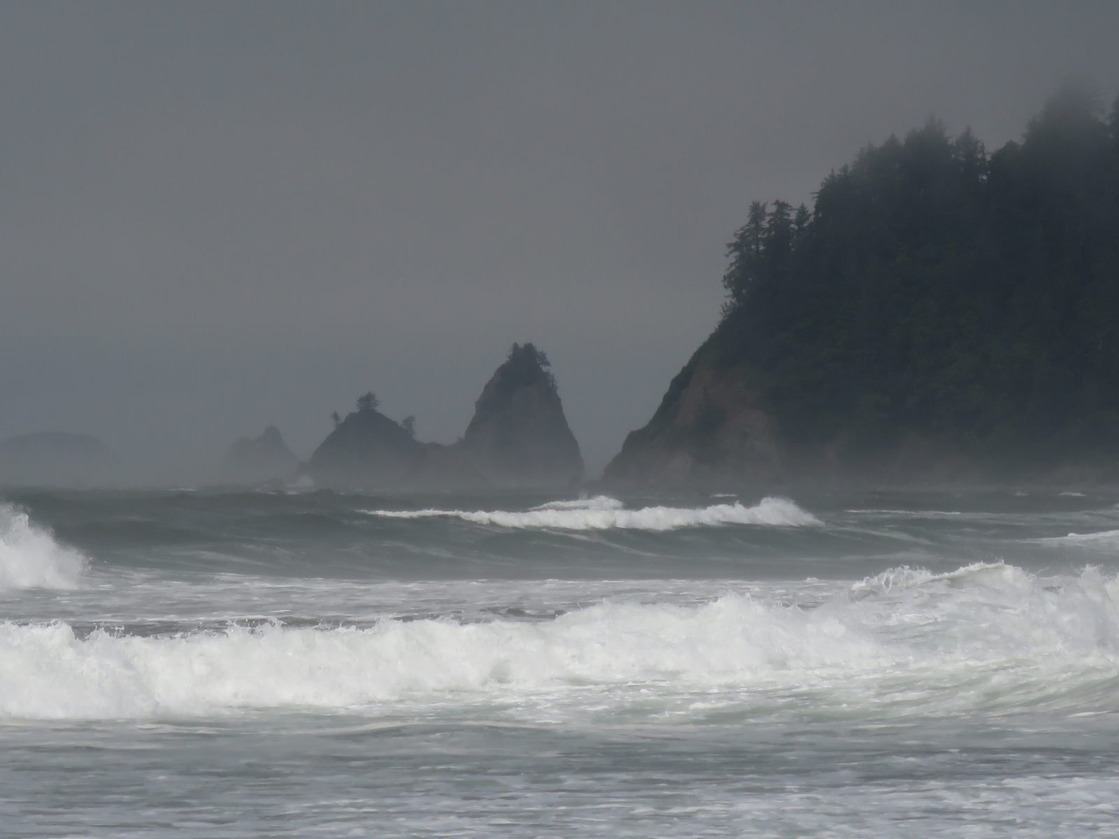
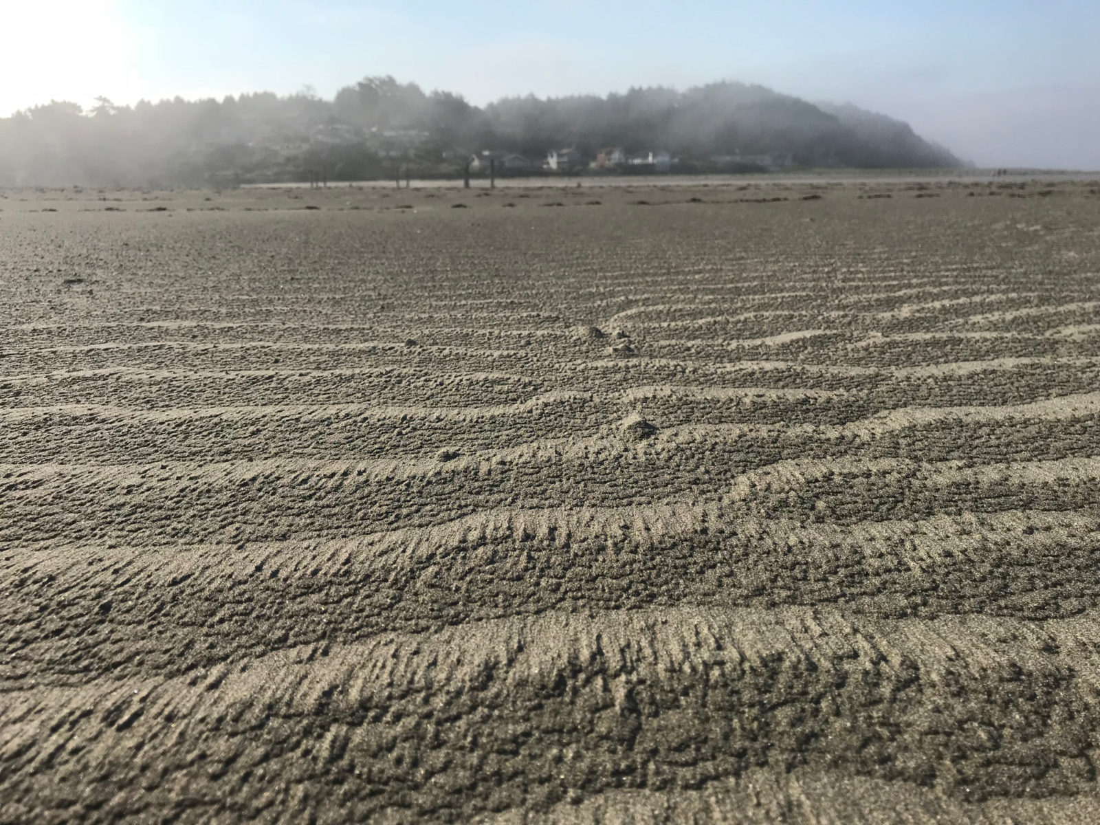
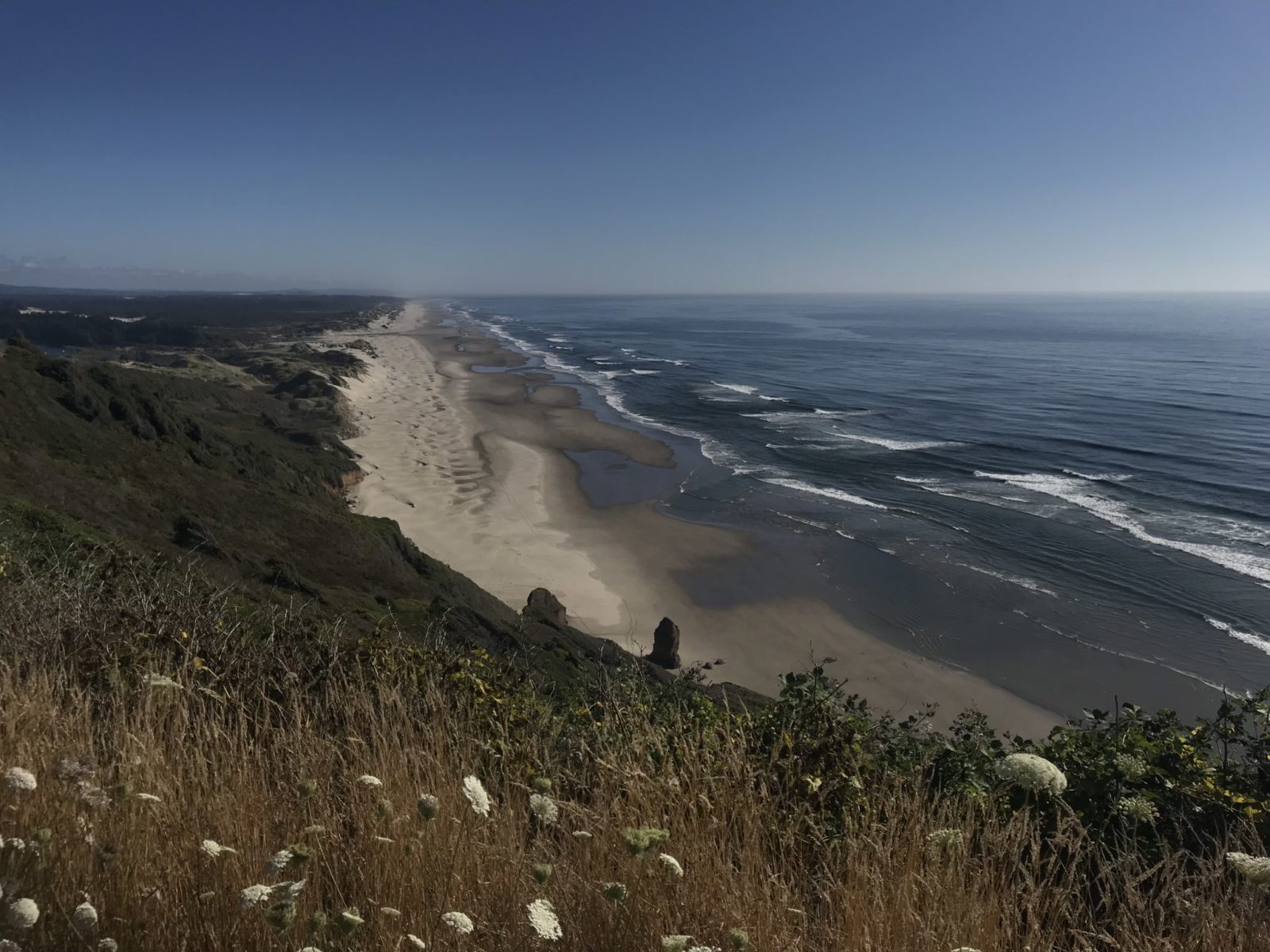
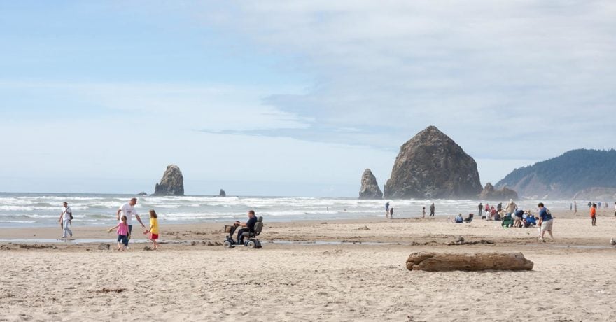
Along this coast, driftwood comes ashore during storms, the sand is sifted in unusual patterns by the wind, and rock formations called “sea stacks” are sculpted by wind and water. We dare you to take a bad photo here.
Cape Disappointment and Fort Clatsop
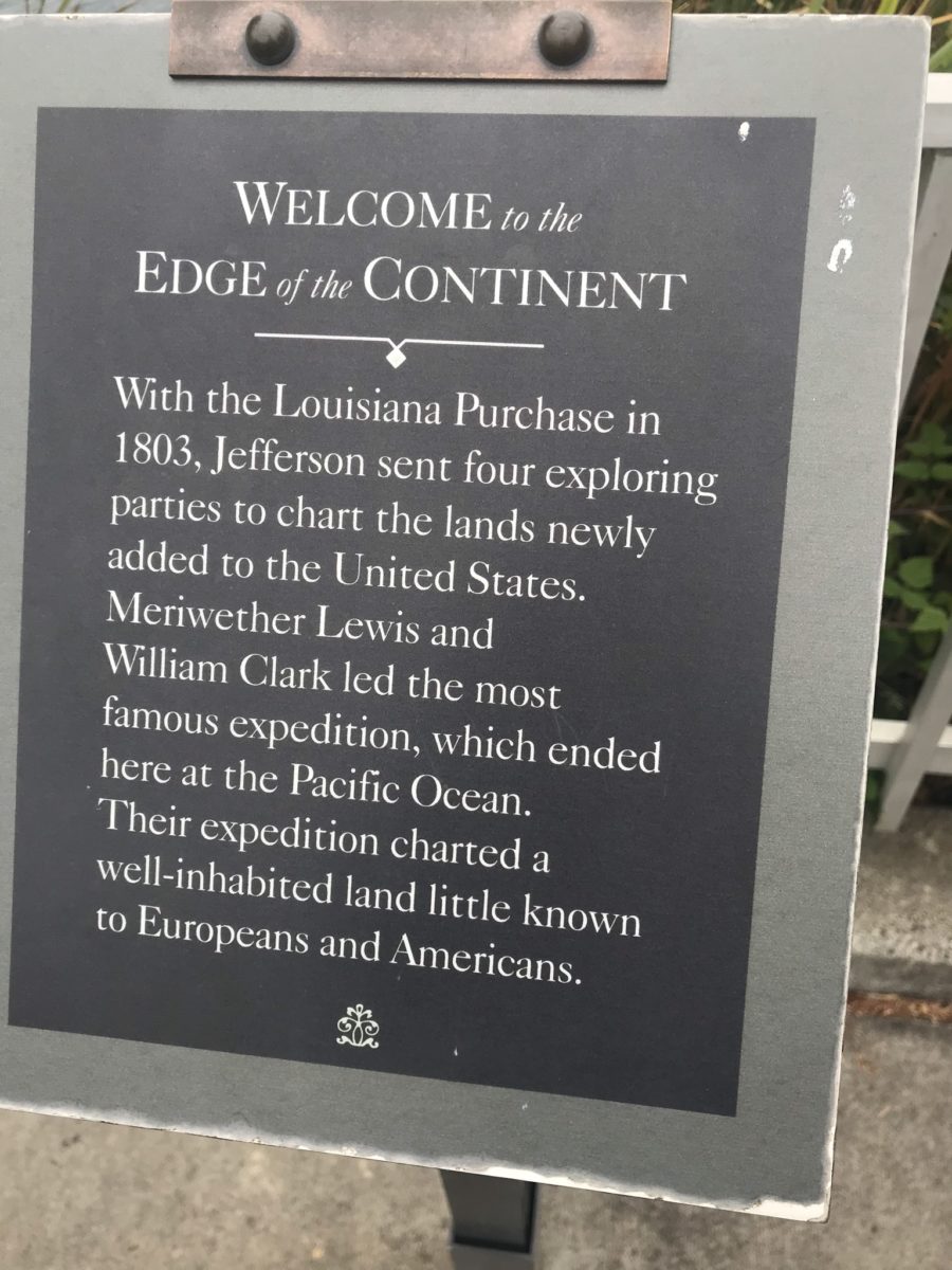
When Lewis and Clark finally reached the Pacific, they wintered in a foggy, damp, treed peninsula on the Columbia River’s south shore. They’d begun in St. Louis in November 1805, taking 16 months to walk, paddle, and ride on horseback across the newly purchased Louisiana Territory. After throwing up a makeshift fort that they named Clatsop after the local Native American tribe, they walked to view the end of their journey, the Pacific. Contrary to the name, our visit to this historical site didn’t disappoint.
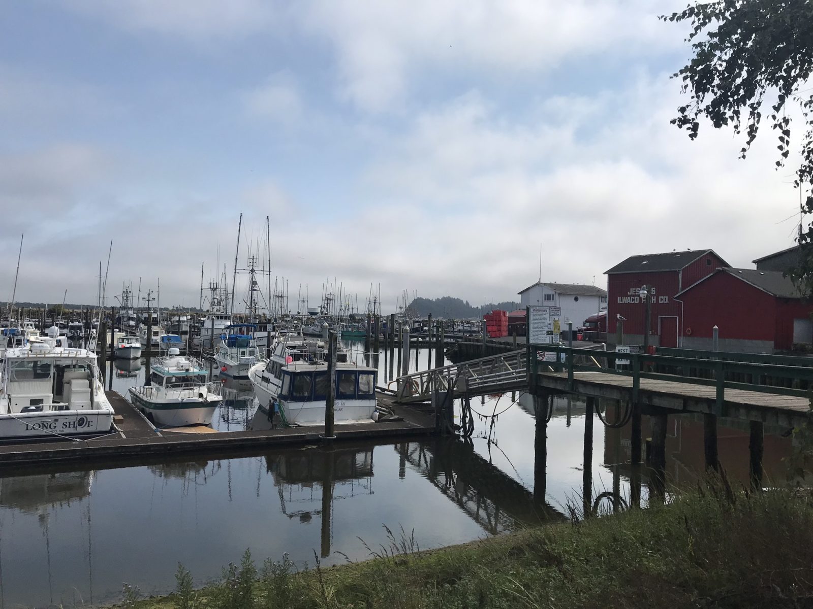
Cape Disappointment State Park campground, located on the Columbia River’s north shore, is reached by a winding road that goes up and over a treed rocky spit. The harbor in nearby Ilwaco is ideal for photographers. After leaving the Visitor Center, you’re transported back in time 220 years as costumed interpreters tell the story of what life was like here before the group set off to return to St. Louis in March 1806. You’re literally walking in the footsteps of history here, for everywhere you step could have seen their steps. Take the 6.5-mile Fort-to-Sea Trail to Sunset Beach Recreation Area, also a part of this historic park, where it is known that Corps members visited to view the Pacific.
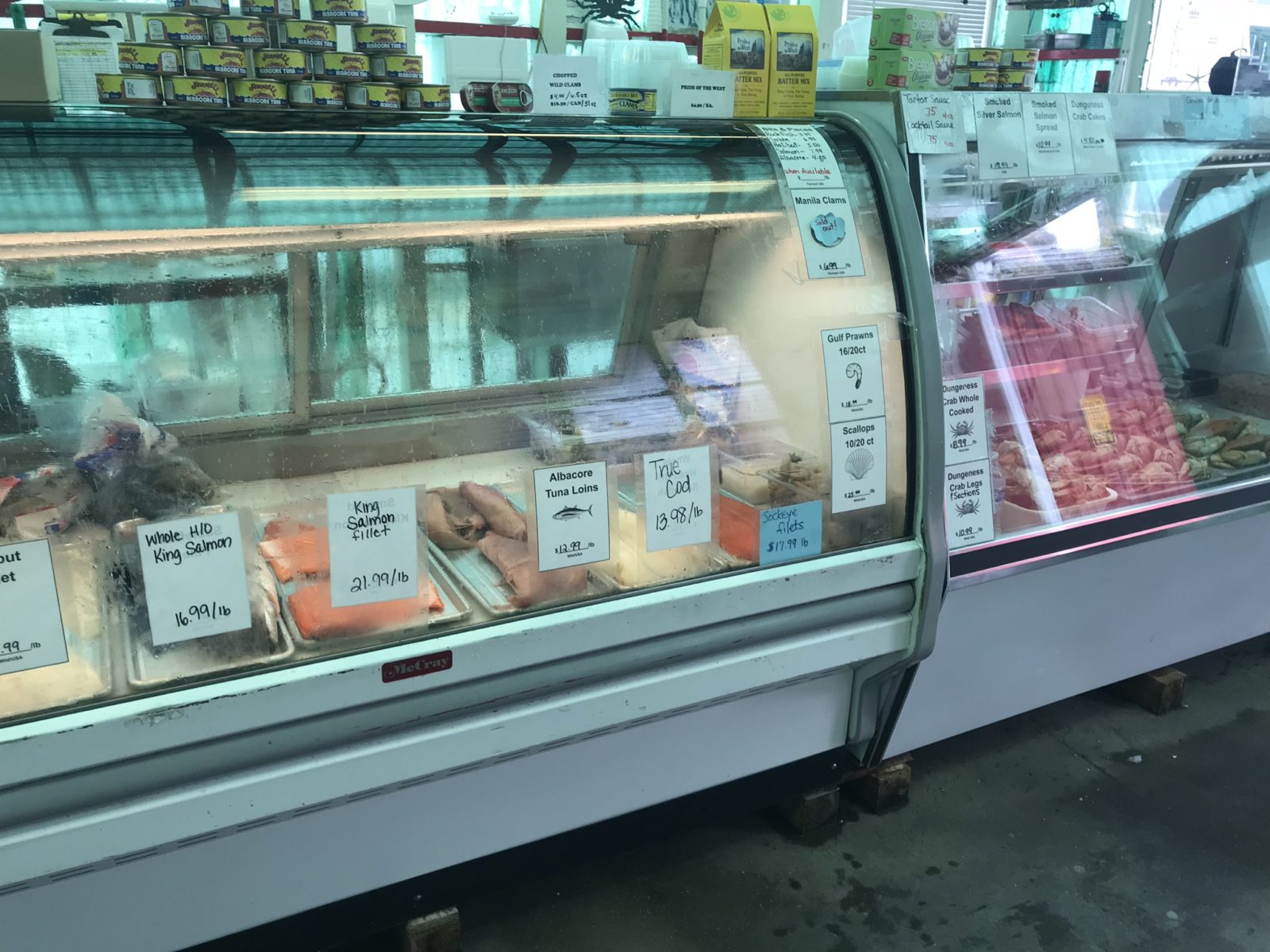
The oceanside fishing town of Ilwaco is near the state park campground. Both sport and commercial anglers work out of this charming spot. You’ll find a great dockside fish market here where, if you’re lucky, the owner will create crab cakes while you wait using a recipe he’ll share.
The campground itself has many activities to enjoy, including photo ops of its lighthouse, but if you see a sign on a hiking trail warning of ground wasps, heed it! This advice comes to you from a twice-stung Denise.
The next day we made the drive over the river to the reconstructed Fort Clatsop, 23 miles away on the south side of the Columbia River in Oregon. Look west as you cross, and find the jetties marking the Columbia “bar.”
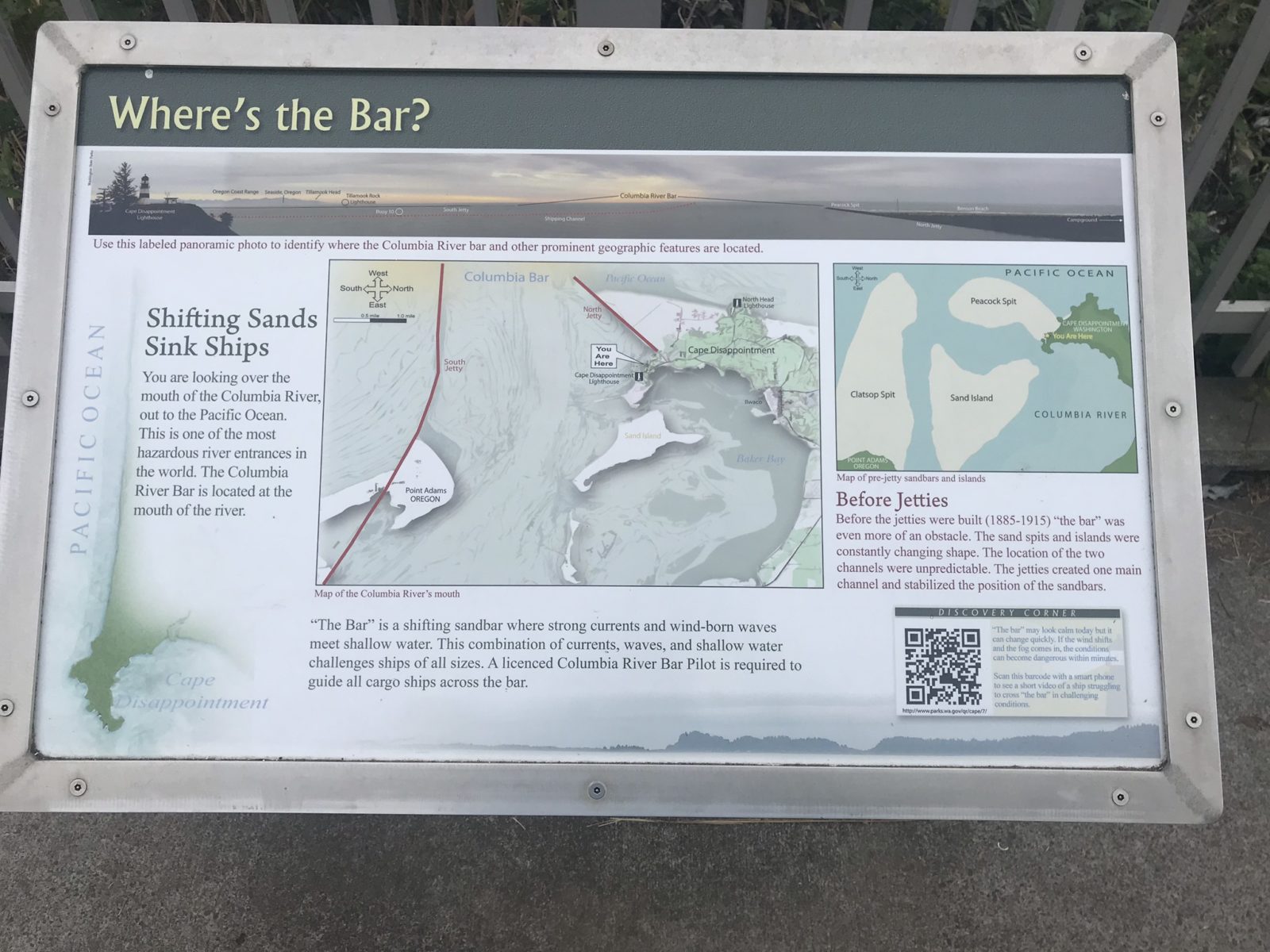
That “bar” is a series of sandbars and shoals known as the Graveyard of the Pacific, thanks to the treacherous river currents and conditions that can change in minutes from calm to raging surf. The Coast Guard uses the bar to train rescue teams at its National Motor Lifeboat School.
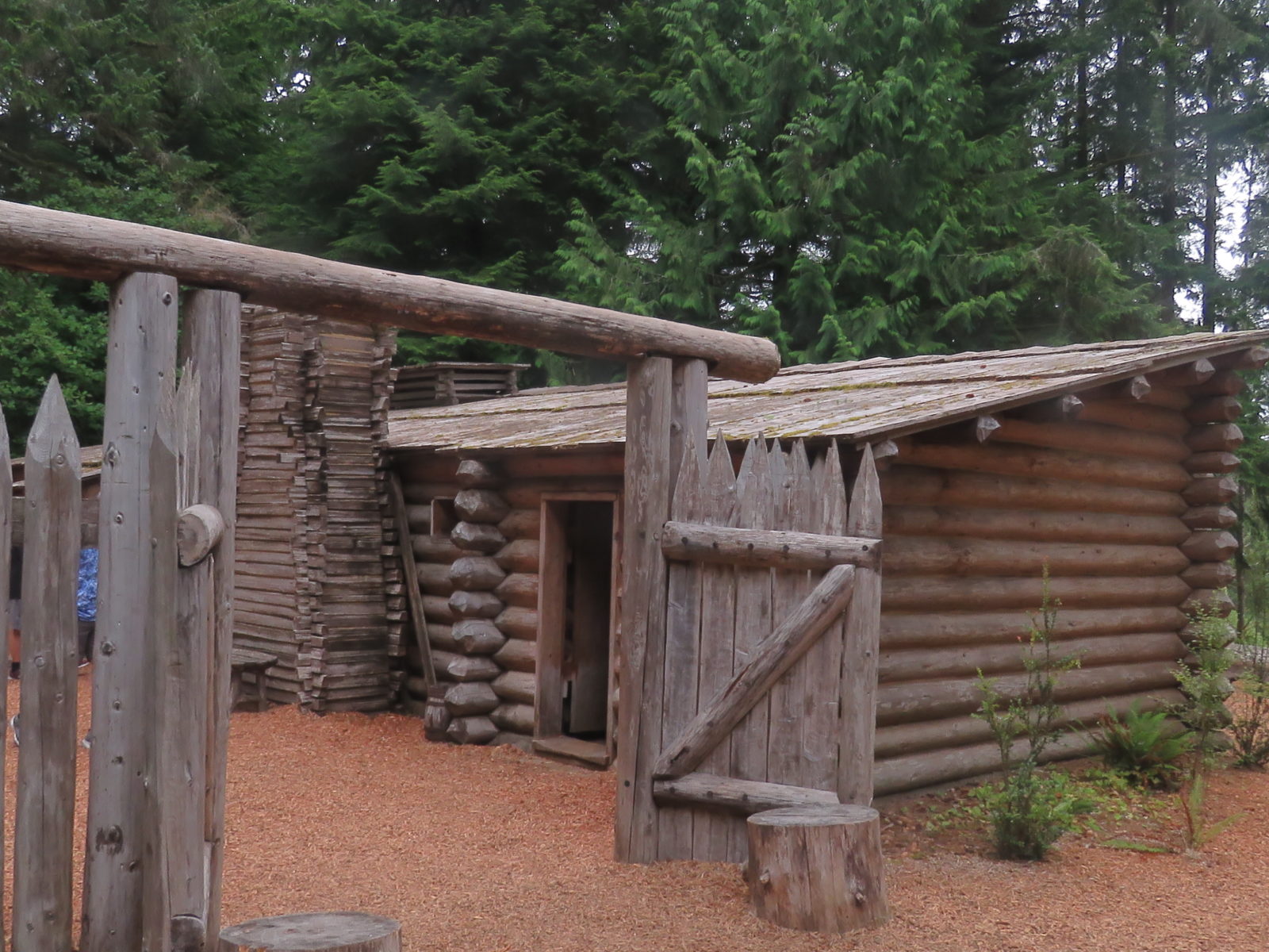
Fort Clatsop was the winter encampment for the Corps of Discovery from December 1805 to March 1806. In order to discourage amateur archaeologists, the reconstructed Fort Clatsop at the Lewis and Clark National and State Historical Parks isn’t on the exact site of the original, but the description onsite notes that the original spot is close by.
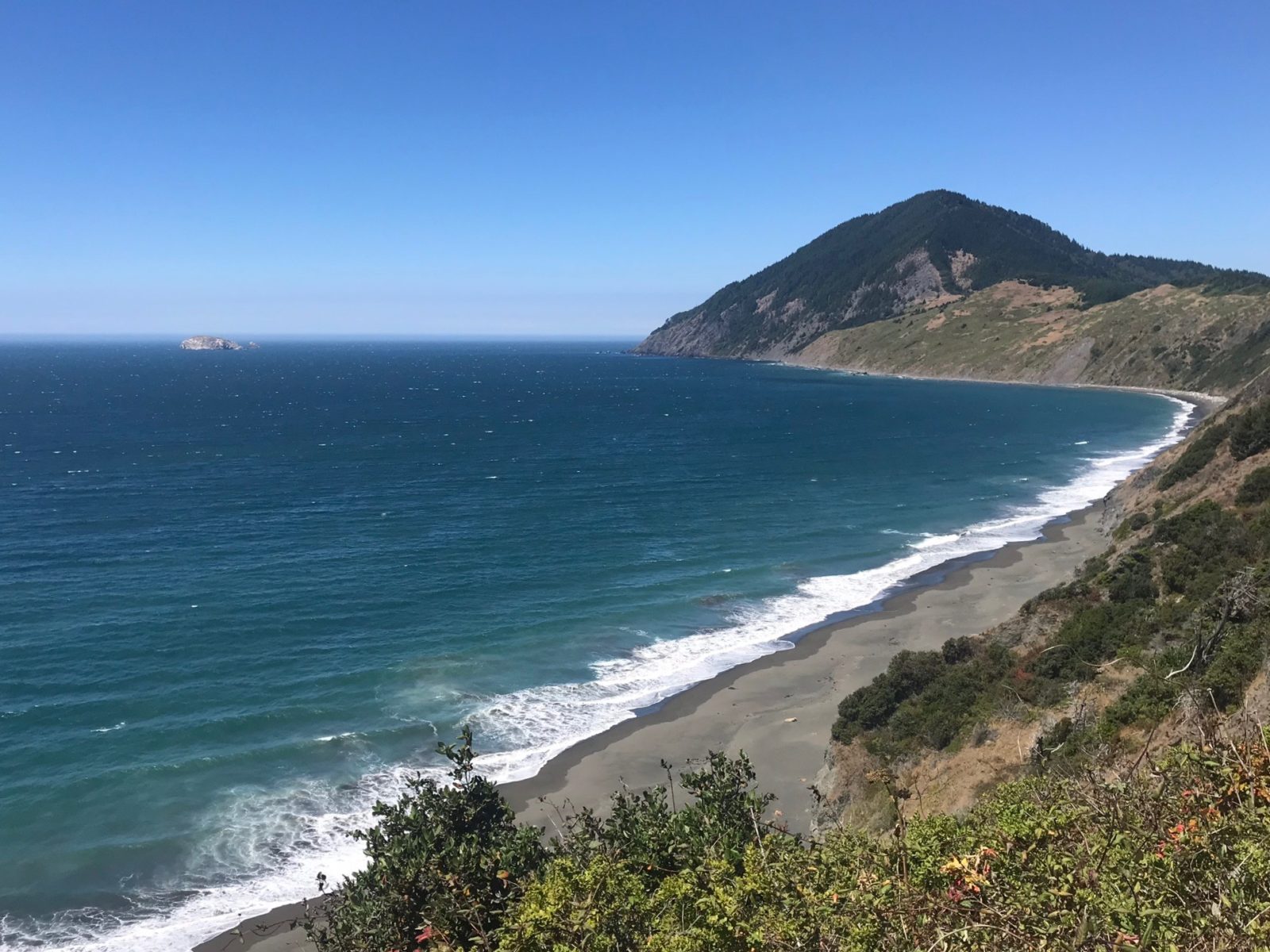
Two more nights in the area brought us more incomparable oceanfront views at both Nahalem Bay State Park and foggy Barview Jetty and South Beach Campgrounds, before we entered California.
California
It was on to the crown of northern California, the redwoods of the 10,000-acre Jedediah Smith State and National Park, and a meet-up with our son, Justin, his wife, Jayme, and our grandkids, Kai and Noe.
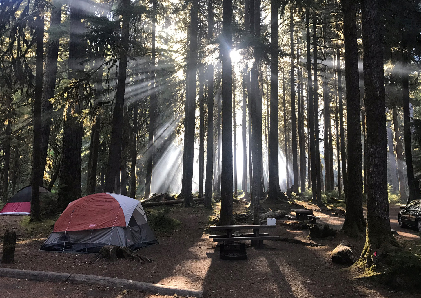
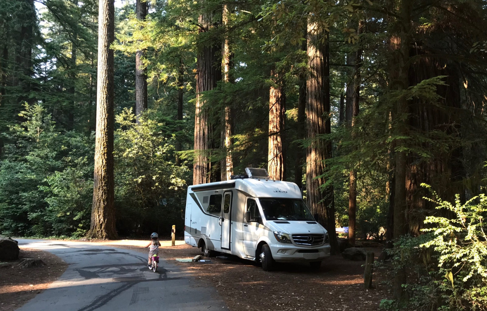
Entering the park near Crescent City is an experience in itself. The two-lane road twists and turns until it is suddenly engulfed by these giants. Once inside, you’ll be camping amidst seven percent of the old-growth redwoods left in the world. Look up, and be amazed. Look through the trees, and feel truly small and insignificant. These giants were here centuries before you, and hopefully will be centuries after you as well.
This beautiful campground is adjacent to another salmon and steelhead stream and the longest undammed river in the state, the Smith River. When the fish aren’t running, the river is a destination for kayakers and swimmers escaping the summer heat.
Jedediah was a western explorer in the early 1800s. His travels included this region and much of the rest of the western US. Last year, California imposed a 25-foot size limit on RVs for the park campground (perfect for your LTV!), and once you pull in, you’ll see why. The trees have the right-of-way here, and rightly so. Sites hug the one-lane, one-way roads and twist around both mature trees and seedling giants.
After three days in the quiet presence of the redwoods, we headed to the area near Grant’s Pass and Lava Beds National Monument, an area that at the time was heavy with smoke from wildfires. At times the smoke was too thick to see the lakes we were driving to, so we stopped only a short time to explore a lava tube or two, then pushed on instead to Lassen Volcanic National Park, site of the last major Lower 48 eruption prior to Mount St. Helens.
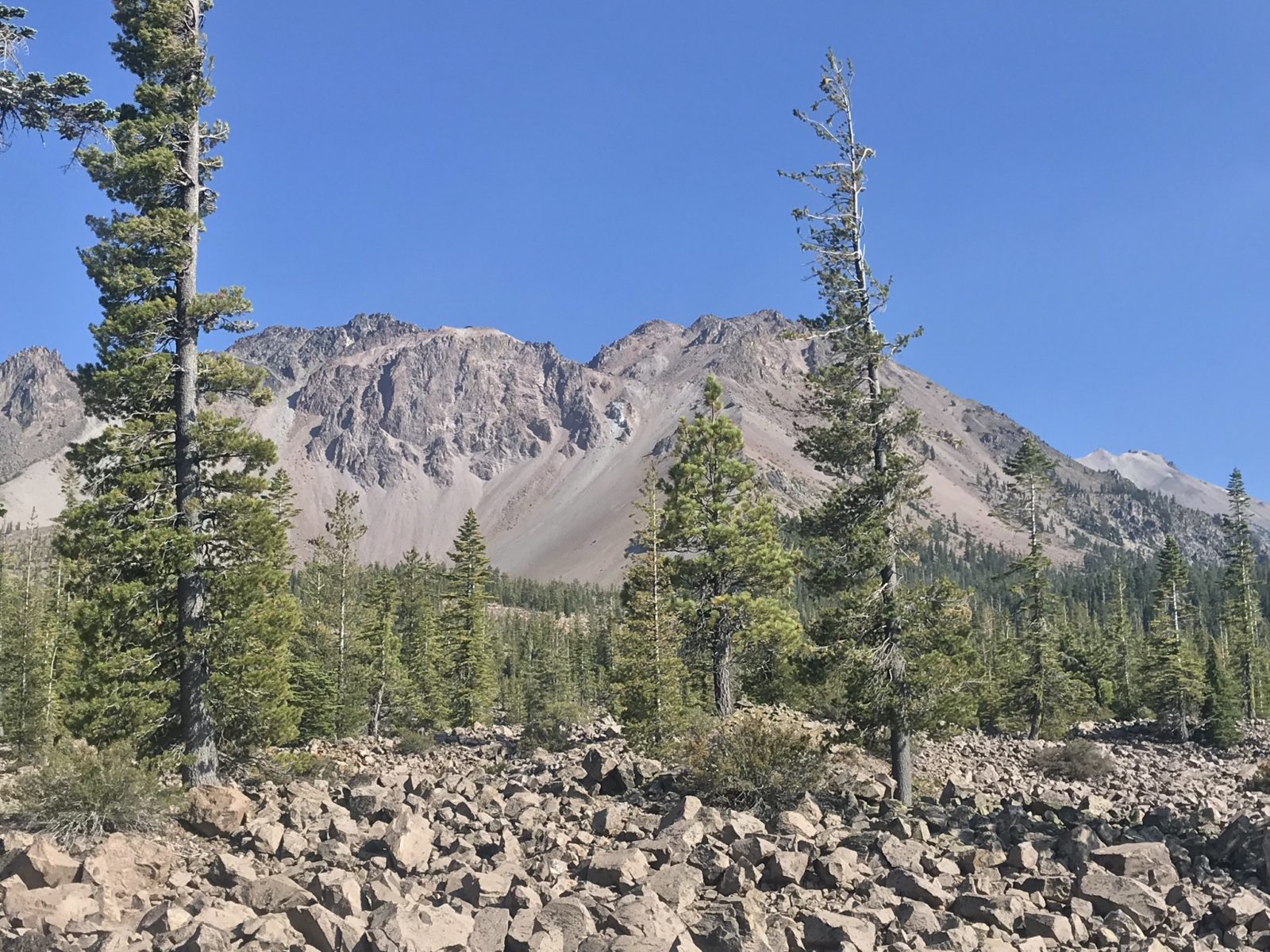
Even that peak was somewhat obscured by wildfire smoke, and after landing and releasing rainbow trout in the lake at the main campground, we set off again, this time in search of ocean-run salmon in California’s Klamath River and another family gathering.
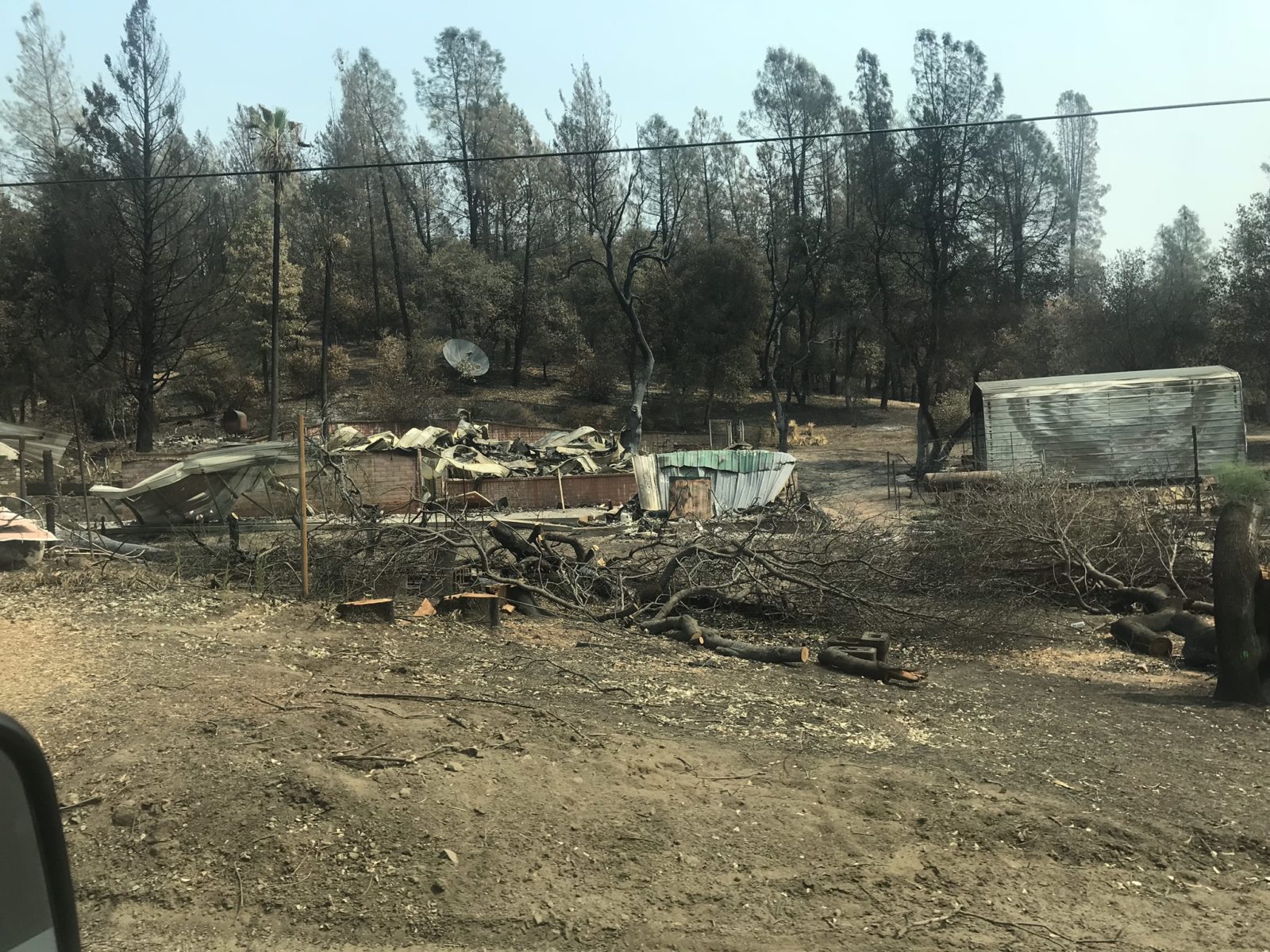
The route to the ocean, however, was one of the saddest we experienced, as it went through the heart of the deadly Carr Fire. Evidence of destroyed lives, homes, vehicles, and entire mountain valleys and recreation areas lined the road for miles. The fire almost took the city of Redding and caused the evacuation of 38,000 residents.
We left that behind to meet up with my salt-water-fishing-addict brother Alan, his wife Jerie, and Sacramento-based guide Dave Jacobs to fish the lower Klamath River.
This storied stream has been battered by human carelessness over the years, from excess runoff to overfishing to shutting off the water supply during spawning runs. I’d been here with Alan on a salmon-fishing trip several years ago, and at that time we had found both riverbanks strewn with dead salmon, the victims of a misguided decision to hold back water at upstream dams in order to provide irrigation for potato farmers. As a result of that decision, the river’s oxygen levels had plummeted, killing upwards of 100,000 fish and leaving almost the entire seasonal spawning run rotting along the shore.
We hoped this time would be different, and it definitely was. We pulled into the Klamath River RV Park, located right on the river only a mile or two from its mouth at the Pacific, to meet our guide. Jacobs, who normally fishes the Sacramento and other northern California streams but knows this one as well, put us on fish right away aboard his outboard jet boat.
We jet-motored up to the head of the run for our first stop, a stretch of fast-moving, shallow riffle only a few feet deep with a pebbled bottom – perfect salmon and steelhead trout habitat. Using spawn on runs with names like Cleveland, Brooks, Blakes, and Starwin, famous among anglers who cherish this spot, we set to work.
“Throw your spawn ahead of the boat, about 11 o’clock, then let it bounce along the bottom. If it stops, set the hook,” Jacobs instructed.
We took turns casting so we wouldn’t tangle up as our bait rolled across the stones. Almost instantly after my first cast, my line stopped, and I instinctively pulled back. Fish on! The bright fish—either salmon or steelhead—rocketed out of the water once, then twice, and was gone.
I reeled in and the spawn I’d been using had been crushed by the fish. Jacobs put another chunk on and I was back in the water. Then it was my brother Alan’s turn to hook up, and this time land, a fresh Chinook, which we released so it could continue upstream to spawn and carry on the Klamath’s reputation for salmon.
After a few more drifts, we motored upstream past a gravel bar where shore anglers were trying their luck. Jacobs carefully followed the channel past the shallows, at times nearly rubbing log jams, which is why it pays to go with a guide who knows this river.
We paused to fish a large, deep hole where Jacobs said salmon often rest before heading upstream. Now it was Denise’s turn; her line went taut, and Jacobs shouted to set the hook. She did, and it was game on again, with the fresh Chinook taking outline as it jetted through the run.
Denise cranked in line, only to catch a glimpse of silver in the water before it took off again. Finally, she gained line and brought the fish to the boat, where it was kept out of the water long enough for photos before being slipped back into the river to continue on its way.
We boated at least four fish that day, and the next day we were at it again in the early morning, heading as far upstream as the Cleveland Hole, where another creek entered just upstream.
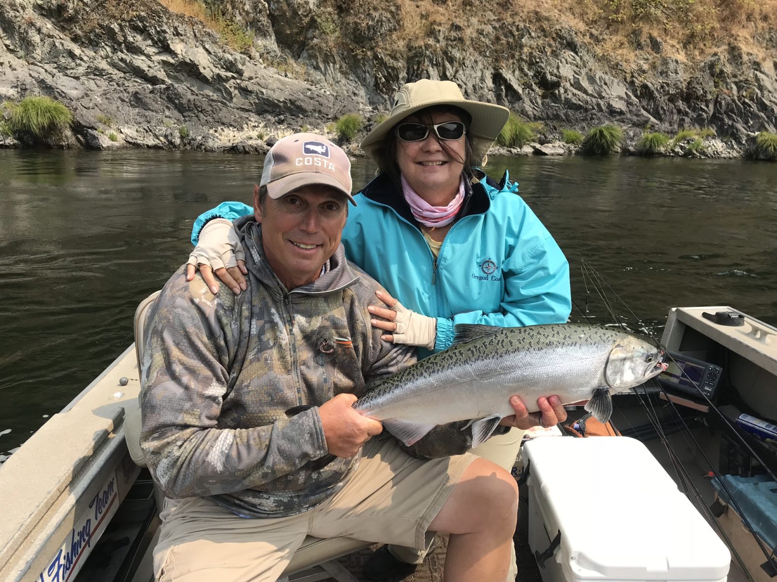
We slipped downstream to a rock formation jutting into the river, forming a quiet stretch of water. This was another great holding spot that proved once again that Jacobs knows his rivers! Alan, Jerie, and I quickly had at least three more fish caught and released. Over the two days, we boated at least four fresh steelheads and nearly a dozen Chinook salmon, with all but two going back into the river.
Turning the Sails
Then it was time to turn the nose of our Unity east, heading down US 20 through wildfire smoke. We’ll detail that adventure and the rest of our journey east – which included stops in Nebraska and at the Winkler owner’s rally – in the final installment of this series!
WHEN YOU GO
Connect with the listed campgrounds through the links provided. The forested coastal hills near Redding and the once-beautiful Whiskeytown National Recreation Area have sadly been totally burned over, and their campgrounds probably won’t recover for a few decades.
Contact fishing guide Dave Jacobs on his website or Facebook page. He normally does not guide on the Klamath, but will put you on fish in several other salmon streams. You can see several photos of our trip on his site by looking up his August 2018 photos.
If you are bringing pets across the US-Canada border like we did, you’ll need their latest vaccination records. Our food made it through customs in Port Angeles aside from one suspicious looking green pepper – sans label – which was confiscated by a customs agent who looked like he’d drawn the short straw that day and was assigned to inspect RVs.
All vehicles coming into California from the north must pass through an agricultural inspection, and since we were from Michigan, we also had an undercarriage inspection to check for any invasive species hitchhiking on our RV.
And finally, here’s that crab cake recipe:
Ingredients:
1 lb crab
1 cup mayo
1 tsp each salt, pepper, garlic powder
1 tablespoon Italian seasoning
2 cups Panko crumbs
1 tablespoon lemon juice
Directions:
Mix crab, mayo, and spices well. Use a ring to help form the cake in the Panko. Sprinkle lightly with the Italian seasoning.


Comments